- Cerro Mohinora
-
Cerro Mohinora 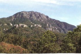
Elevation 3,300 m (10,827 ft) [1][2] Prominence 873 m (2,864 ft) Ranked 20th in Mexico Parent peak Cerro Gordo[3] Listing Mountain peaks of Mexico Location Guadalupe y Calvo Municipality, Chihuahua, Mexico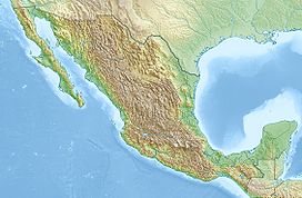
 Cerro Mohinora
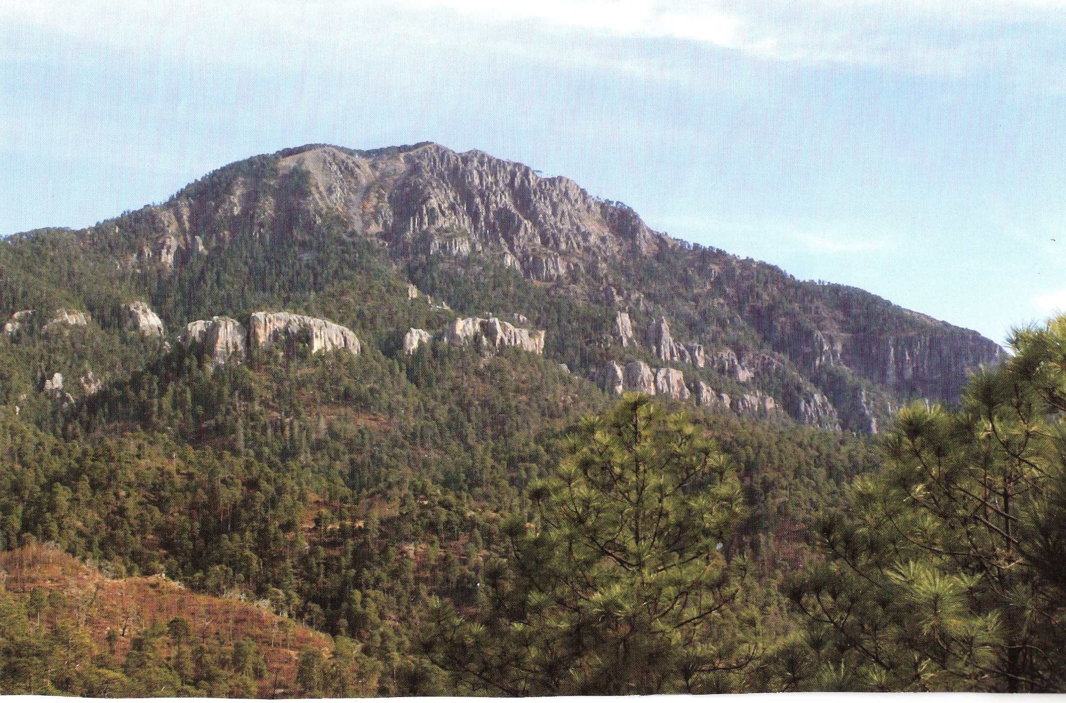
Coordinates 25°57′22″N 107°02′52″W / 25.95611°N 107.04778°WCoordinates: 25°57′22″N 107°02′52″W / 25.95611°N 107.04778°W Topo map Mountain Peak Geology Type Extinct Volcano Age of rock Paleogene Volcanic arc/belt Sierra Madre Occidental Cerro Mohinora is an extinct volcano that is part of the Sierra Madre Occidental mountain range in the Mexican state of Chihuahua located in the municipality of Guadalupe y Calvo. Cerro Mohinora is the highest point in the state of Chihuahua reaching an elevation of 10,827 ft (3,300 m) above sea level. The climate of the mountain is extremely cold in the winter and temperate to semi-cold in the summer.
Geology
The mountain began to form during Paleogene geologic period characterized by intense volcanic activity in the area throwing lava and ash onto the surrounding plateau and creating the Sierra Madre Occidental. Cerro Mohinora was raised to an elevation over 3,300 m above sea level during the Pleistocene by intense tectonic activity. The mountain is mainly composed of igneous rock.
Climate
Using the Köppen climate classification the climate of the mountain is humid continental climate (Dfb). Summers are cool with temperatures rarely reaching 25°C (77°F) and summer lows fall below 10°C (50°F) regularly. There are heavy rainstorms from June to October. Winters are very cold with maximum high reaching 0°C (32°F) and reaching a maximum low of -31°C (-24°F). Winter snowstorms with high winds are common and typically over 1 meter (~3 ft) of snow per season.
References
- ^ "Perspectiva Estadística de Chihuahua". Instituto Nacional de Estadística y Geografía (INEGI). 2010. p. 10. http://www.inegi.org.mx/est/contenidos/espanol/sistemas/perspectivas/perspectiva-chi.pdf?.
- ^ The elevation given by INEGI mapping is 3,300 m.
- ^ http://www.peakbagger.com/list.aspx?lid=12010
Categories:- Geography of Chihuahua
- Volcanoes of Mexico
- Mountains of Mexico

Wikimedia Foundation. 2010.