- Mullum Mullum Creek Linear Park
-
Mullum Mullum Creek Linear Park Mullum Mullum Creek Trail through the Linear Park
Location Melbourne, Australia Coordinates 37°46′14″S 145°11′14″E / 37.77056°S 145.18722°ECoordinates: 37°46′14″S 145°11′14″E / 37.77056°S 145.18722°E Opened 1977 Operated by City of Manningham Terrain Creek banks, floodplains and wetlands Water Mullum Mullum Creek Paths Sealed Facilities Seats The Mullum Mullum Creek Linear Park is located east of Melbourne, Australia in the suburbs of Doncaster East and Donvale. It streaches for roughly 3 km along the western banks of the Mullum Mullum Creek between Heidelberg-Warrandyte Road and Tindals Road. Facilities include sealed pathways, barbecues and shelters. Other features include, bush walking tracks, bike jumps, trails and equestrian trails. Throughout much of the 1990s, extensive regenerative planting was conducted throughout the entire length of the park, this has restored much of the native riparian bushland within the park, most prominently the Mullum Mullum Wetlands.
Recreation
Cycling is popular in the park, it hosts part of the northern section of the Mullum Mullum Creek Trail. The park sprawls out into residential housing and is linked to some surrounding roads directly or via other parks, where the park crosses major roads, these are indicated in bold:
- Heidelberg-Warrandyte Road
- Deep Creek Drive
- Larnoo Drive
- Reynolds Road
- Parklands Close
- Jolen Court
- Baradine Terrace
- Springvale Road
- Tindals Road
Surrounding Parklands
The park adjoins other parks surrounding the Mullum Mullum Creek:
- Buck Reserve (equestrian facilities)
- Mullum Mullum Reserve (hockey, bowls, tennis)
- Currawong Bush Park
- Deep Creek Reserve (baseball)
Access
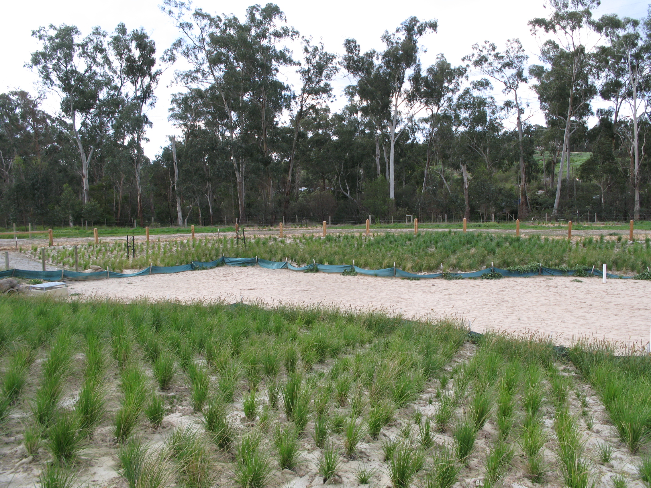
 Wetland regeneration constructed in 2008, beside the Linear Park.
Busses run along Heidelberg-Warrandyte Road (numbers 154, 155, 156, 159, 304, 364) and Reynolds Road (number 154). There are carparks at Heidelberg-Warrandyte Road, Reynolds Road and Tindals Road each either a capacity of 10-20 cars. The Mullum Mullum Creek Trail provides cycling and pedestrian access.
Categories:- Parks in Melbourne

Wikimedia Foundation. 2010.