- Cheswick Buildings
-
Coordinates: 55°42′11″N 1°57′43″W / 55.703°N 1.962°W
Cheswick Buildings 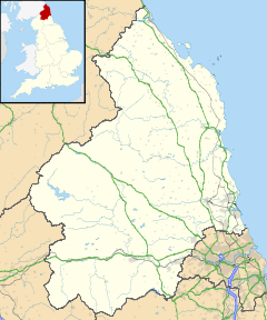
 Cheswick Buildings
Cheswick Buildings shown within NorthumberlandOS grid reference NU025455 District Berwick-upon-Tweed Shire county Northumberland Region North East Country England Sovereign state United Kingdom Post town BERWICK UPON TWEED Postcode district TD15 Police Northumbria Fire Northumberland Ambulance North East EU Parliament North East England UK Parliament Berwick-upon-Tweed List of places: UK • England • Northumberland Cheswick Buildings is a small village in Northumberland, in England. It is situated on the A1, approximately 10 km (6.2 mi) to the south-east of Berwick-upon-Tweed, a short distance inland from the North Sea coast, and close to Cheswick.
Governance
Cheswick Buildings is in the parliamentary constituency of Berwick-upon-Tweed.
References
External links
Categories:- Villages in Northumberland
- Northumberland geography stubs

Wikimedia Foundation. 2010.