- Chisec
-
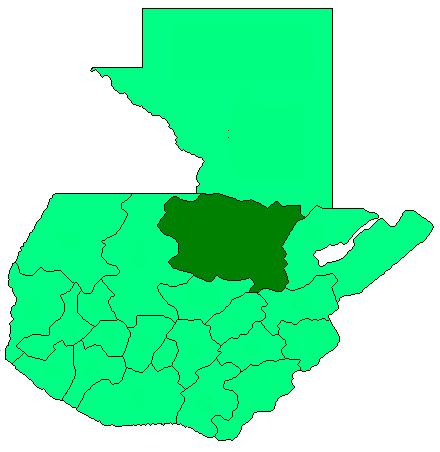
Chisec — Municipality — Location in Guatemala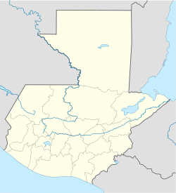
 Chisec
Coordinates: 15°48′45″N 90°19′18″W / 15.8125°N 90.32167°W Country  Guatemala
Department Alta Verapaz Municipality Chisec Government – Type Municipal – Mayor Elevation 230 m (755 ft) Population (Census 2002)[1] – Municipality 69,325 – Urban 12,775 – Ethnicities Q'eqchi', Ladino – Religions Roman Catholicism, Evangelicalism, Maya Website http://munichisec.gob.gt/ Chisec is a municipality in the north of the Guatemalan department of Alta Verapaz that was founded in 1813. It is situated at 230m above sea level at 15°48′45″N 90°17′18″W / 15.812570°N 90.288391°WCoordinates: 15°48′45″N 90°17′18″W / 15.812570°N 90.288391°W. The municipality covers a territory of 1488 km². Approximately 95% of the municipality's inhabitants are Mayan, spread over the town of Chisec and approximately 140 communities. (There used to be closer to 240 communities, but a number of these have officially split off to the new municipality of Raxruha, created by the Guatemalan Congress in 2008.) Q'eqchi' is widely spoken there alongside Spanish.
References
External links
- Muni in Spanish
- INE - XI Censo Nacional de Poblacion y VI de Habitación (Censo 2002)
- Visit Chisec
- Community based ecotourism in Chisec
Capital: CobánMunicipalities Chahal · Chisec · Cobán · Fray Bartolomé de las Casas · Lanquín · Panzós · Raxruha · San Cristóbal Verapaz · San Juan Chamelco · San Pedro Carchá · Santa Cruz Verapaz · Santa María Cahabón · Senahú · Tactic · Tamahú · Tucurú · Santa Catalina la Tinta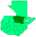 Categories:
- Municipalities of the Alta Verapaz Department
- Populated places in Guatemala
- Guatemala geography stubs

Wikimedia Foundation. 2010.