- Gwydir Shire Council
Infobox Australian Place | type = lga
name = Gwydir Shire
state = nsw
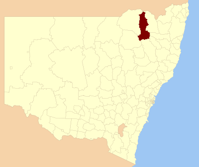
caption = Location inNew South Wales
pop = 5,530 cite web
publisher =Australian Bureau of Statistics
title=Regional Population Growth, Australia, 2004-05
url = http://abs.gov.au/Ausstats/abs@.nsf/Latestproducts/3218.0Main%20Features22004-05?opendocument&tabname=Summary&prodno=3218.0&issue=2004-05&num=&view=
accessdate = 2006-12-02 ]
area = 9453
est = 2003
seat = Bingara (33 Maitland Street}cite web
title=Gwydir Shire Council
publisher = Department of Local Government
url = http://www.dlg.nsw.gov.au/dlg/dlghome/dlg_CouncilContactDetails.asp?slacode=3660
accessdate = 2006-11-30 ]
mayor = Peter Caskey
region = New England
url = http://gwydir.local-e.nsw.gov.au
stategov = Northern Tablelands (2007)
fedgov = Gwydir, New England
near-nw = Moree Plains
near-n = Waggamba (Qld)
near-ne = Inverell
near-w = Moree Plains
near-e = Guyra
near-sw = Narrabri
near-s = Tamworth
near-se = UrallaGwydir Shire Council is a Local Government Area (LGA) in
New South Wales ,Australia formed following the amalgamation of the former Yallaroi and Bingara Shire Councils, and a northern portion of the former Barraba Shire Council. The new Shire was proclaimed in 2003, following nearly 12 months of community discussion and consultation after the former New South Wales Minister for Local Government, Tony Kelly, threatened forced amalgamations.The Yallaroi Shire was based in Warialda, the town is now home to the shire's main works depot. It is on the
Gwydir Highway andFossickers Way .The shire includes the towns of Warialda, Bingara and the villages of Warialda Rail, Gravesend , North Star, Croppa Creek, Coolatai and
Upper Horton .References
Wikimedia Foundation. 2010.