- Muglad
-
Muglad — Town — Location in Sudan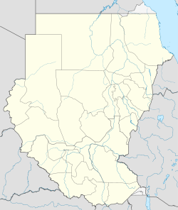
 Muglad
Coordinates: 11°2′2″N 27°44′24″E / 11.03389°N 27.74°E Country  Sudan
SudanState West Kurdufan Muglad is a town in West Kurdufan State in the center of Sudan. It is the center town of the Messeria tribe who arrived in the area in 1770.
Transport
It is served by a railway station on the Waw branch of Sudan Railways.
It is the junction for a branch line to the oil fields at Abu Jabra.
See also
References
Coordinates: 11°2′2″N 27°44′24″E / 11.03389°N 27.74°E
Categories:- Sudan geography stubs
- Populated places in Sudan

Wikimedia Foundation. 2010.