- Delves Lane
-
Coordinates: 54°50′28″N 1°48′40″W / 54.841°N 1.811°W
Delves Lane 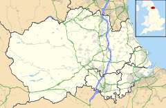
 Delves Lane
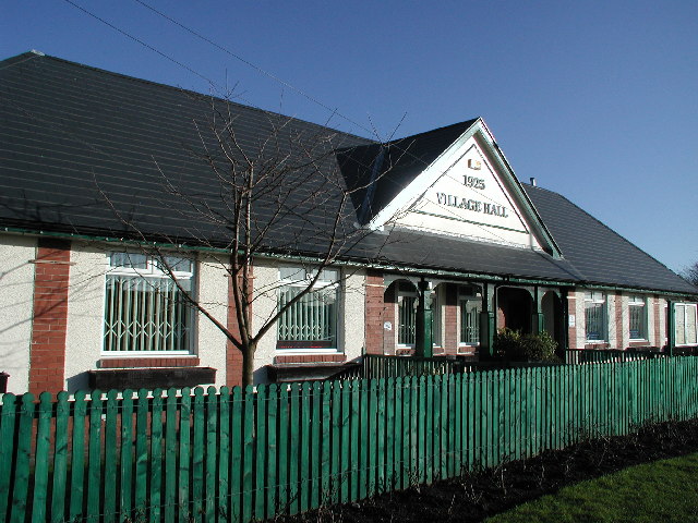
Delves Lane shown within County DurhamOS grid reference NZ122495 Shire county County Durham Region North East Country England Sovereign state United Kingdom Post town DURHAM Postcode district DH8 Dialling code 01207 Police Durham Fire County Durham and Darlington Ambulance North East EU Parliament North East England List of places: UK • England • County Durham Delves Lane is a small village near Consett, County Durham, England, and is not far from the village of Lanchester. There is a village hall, which was constructed in 1925.
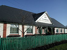 Delves Lane's village hall
Education
Local schools include Delves Lane Infant School, and Delves Lane Junior School.[1] The two schools have recently joined together and are now Delves Lane Community School.
References
- ^ "Delves Lane Junior School", BBC News, 2007-12-06. Retrieved on 2008-08-22.
External links
 Media related to Delves Lane at Wikimedia CommonsCategories:
- Villages in County Durham
- County Durham geography stubs

Wikimedia Foundation. 2010.