- Ensenada (municipality)
Infobox Settlement
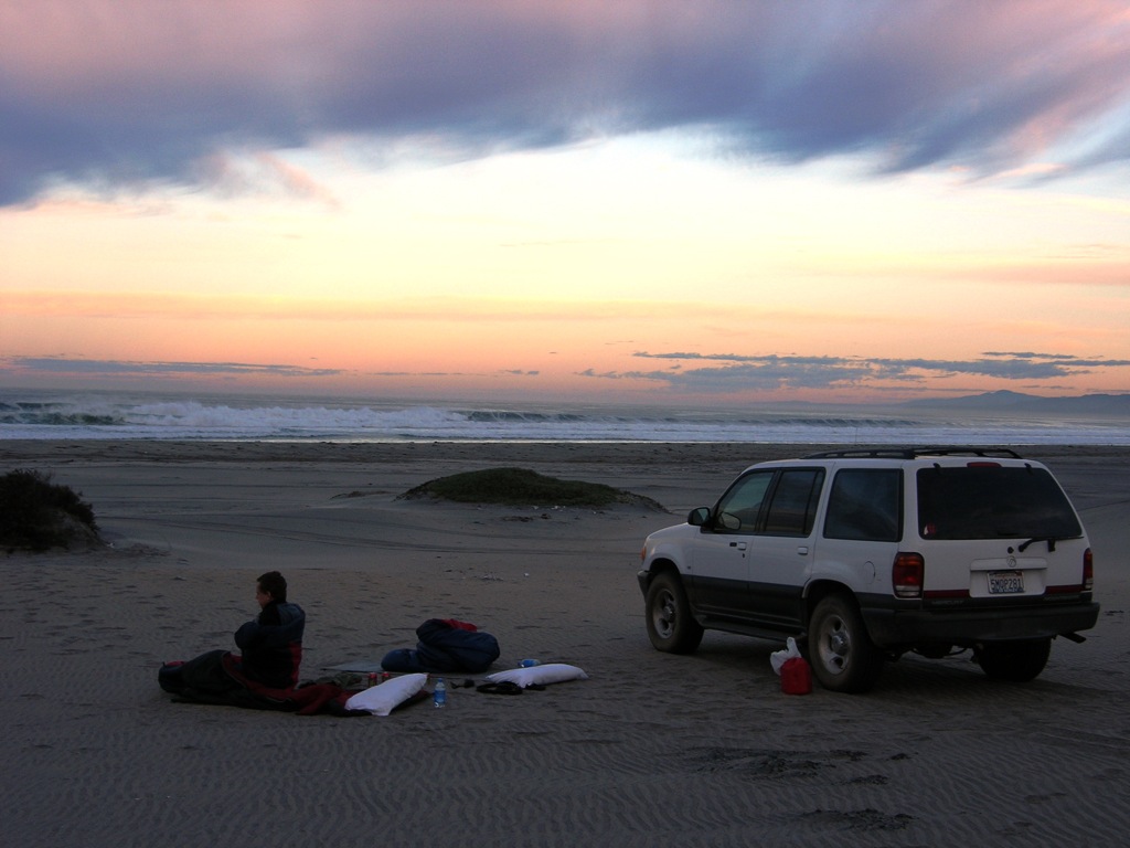
image_caption=Camp on the beach NW ofPunta Colonet , Baja California.
imagesize=300px
name = Ensenada
settlement_type =
map_caption = Location of Ensenada in Baja California.
mapsize=150px
population_as_of=2005
population_total=413481
population_note=Data source: [http://www.inegi.gob.mx/est/contenidos/espanol/sistemas/conteo2005/localidad/iter/ INEGI]
population_density_km2=auto
area_total_km2=51952.3
leader_title = Municipal president
leader_name =Pablo Alejo Lopez
leader_party = PAN
subdivision_type2 = Municipal seat
subdivision_name2 =Ensenada
subdivision_type3 = Largest city
subdivision_name3 =Ensenada
blank_name =INEGI code
blank_info = 001
timezone = PST
utc_offset = -8
timezone_DST = PDT
utc_offset_DST = -7
website=es icon [http://www.ensenada.gob.mx/ Ayuntamiento de Ensenada]
established_title=Municipality established
established_date=December 29 ,1953 [es icon pp. 78–79, [http://redalyc.uaemex.mx/redalyc/pdf/530/53010102.pdf La Transformación de Baja California en Estado, 1931–1952] , Lawrence Douglas Taylor Hansen, "Estudios Fronterizos", 1, #1 (Jan-June 2000), UABC, Mexicali, pp. 47–87.]
footnotes=Source: [http://www.e-local.gob.mx/work/templates/enciclo/bajacalifornia/municipios/02001a.htm Enciclopedia de los Municipios de México]The municipality ( _es. municipio) of Ensenada, with a land area of 51,952.26 km² (20,058.88 sq mi), is the largest in the state of
Baja California and the largest inMexico by area, and comparable in size to San Bernardino County,California , the largestcounty in theUnited States outsideAlaska . It contains all of Baja California apart from a strip at the north and, at the northeast extremity of the state, the municipality of Mexicali. It is bordered by thePacific Ocean on the west, theSea of Cortez on the east, and by all of the other municipalities in Baja California on the North. Its municipal seat ( _es. cabecera municipal) is Ensenada. Its current (as of 2007 )municipal president ( _es. presidente municipal) isCésar Mancillas Amador of the PAN. A major port is planned to be built inPunta Colonet , a largely uninhabited area 80 km (50 miles) south of the city of Ensenada. Offshore,Guadalupe Island is part of the municipality.In
2000 the municipality had a population of 370,730 inhabitants. The 2005 census recorded 413,481 inhabitants.ubdivisions
Ensenada municipality is administratively subdivided into 24 boroughs ( _es. delegaciones), of which Ensenada and Chapultepec form the city of Ensenada, the municipal seat:
#La Misión
#El Porvenir
#Francisco Zarco (Guadalupe)
#Real del Castillo
#El Sauzal
#Ensenada, municipal seat ( _es. cabecera municipal)
#San Antonio de las Minas
#Chapultepec
#Maneadero (with "subdelegación" Esteban Cantú)
#Santo Tomás
#Eréndira
#San Vicente
#Valle de la Trinidad
#Punta Colonet
#Camalú
#Vicente Guerrero
#San Quintín
#El Rosario
#Puertecitos
#El Marmol
#Punta Prieta
#Bahía de los Angeles
#Calmallí (Villa Jesús María)
#Isla de Cedros Major communities
The 2005
census lists 1,567 populated places ("localidades") within the municipality, but this includes solitaryranch es and houses with a population of just a few or even only one person. 418 places have a population of 10 or more, and 120 have a population of 100 or more. The largest places are, with population figures as ofcensus 2005:ee also
*
Municipalities of Baja California
*Punta Colonet, Baja California References
* Ensenada: Its background, founding, and early development http://www.sandiegohistory.org/journal/84winter/ensenada.htm
*es icon [http://www.inegi.gob.mx/est/contenidos/espanol/sistemas/conteo2005/localidad/iter/ Link to tables of population data from Census of 2005] INEGI: Instituto Nacional de Estadística, Geografía e Informática
*es icon [http://www.e-local.gob.mx/wb2/ELOCAL/ELOC_Municipios_de_mayor_y_menor_extension_territo Los Municipios con Mayor y Menor Extensión Territorial]Instituto Nacional para el Federalismo y el Desarrollo Municipal
*es icon [http://geologia.cicese.mx/sist_inf_geo/delegaciones/delegaci.htm Subdivisions ("delegaciones")]External links
*es icon [http://www.ensenada.gob.mx/ Ayuntamiento de Ensenada] Official government website.
*en icon [http://www.signonsandiego.com/news/mexico/tijuana/20060424-9999-1n24punta.html Property frenzy in Baja California] , Diane Lindquist, "San Diego Union-Tribune",April 24 ,2006 . Article on planned port construction at Punta Colonet.

Wikimedia Foundation. 2010.