- Winnipeg Route 52
-
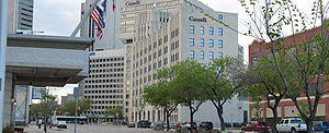
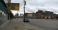
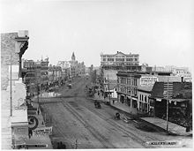
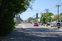
Route 52 is a major north-south arterial route in Winnipeg, Manitoba. It comprises all of Main Street from the northern city limits to the Main Street Bridge over the Assiniboine River; Queen Elizabeth Way from the Main Street Bridge to the Norwood Bridge over the Red River; and St. Mary's Road from the Norwood Bridge south to the city limits. At the northern city limits Route 52 becomes Manitoba Highway 9; in the south it becomes Manitoba Provincial Road 200.
The route runs as Main Street roughly parallel to the west bank of the Red River in the northern half of the city. After passing through downtown, it runs roughly parallel to the east bank of the meandering Red River in the south. It passes through the suburbs of West Kildonan, the North End, Downtown, Fort Rouge, St. Boniface, and St. Vital. The section between Broadway and St. Anne's Road is part of Manitoba Highway 1, the Trans-Canada Highway.
The short section named Queen Elizabeth Way was named after Queen Elizabeth II, Queen of Canada. The section named St. Mary's Road was named after St. Mary's Parish (Ste. Marie Paroisse in French), a Roman Catholic parish located in the northernmost section of St. Vital.[1]
References
- ^ Winnipeg's Historic Sites and Monuments: An Illustrated Guide. City of Winnipeg Parks and Recreation Department. Published 1979.
Roads in Winnipeg City Routes Arterial roads Categories:- Winnipeg city routes
- Manitoba road stubs
Wikimedia Foundation. 2010.


