- Malibu Rapids (British Columbia)
-
Malibu Rapids 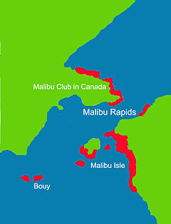
Map of the Malibu Rapids Location South end of Princess Louisa Inlet, New Westminster Land District Coordinates Coordinates: 50°9′50.91″N 123°50′58.97″W / 50.1641417°N 123.8497139°W Basin countries British Columbia, Canada Max depth 13 m (43 ft)
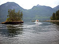
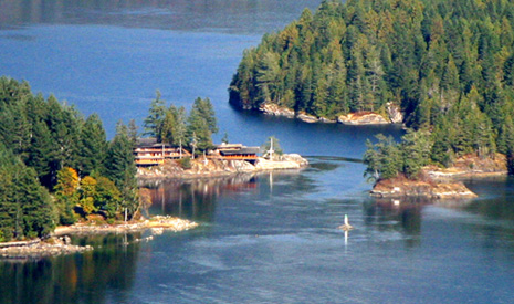
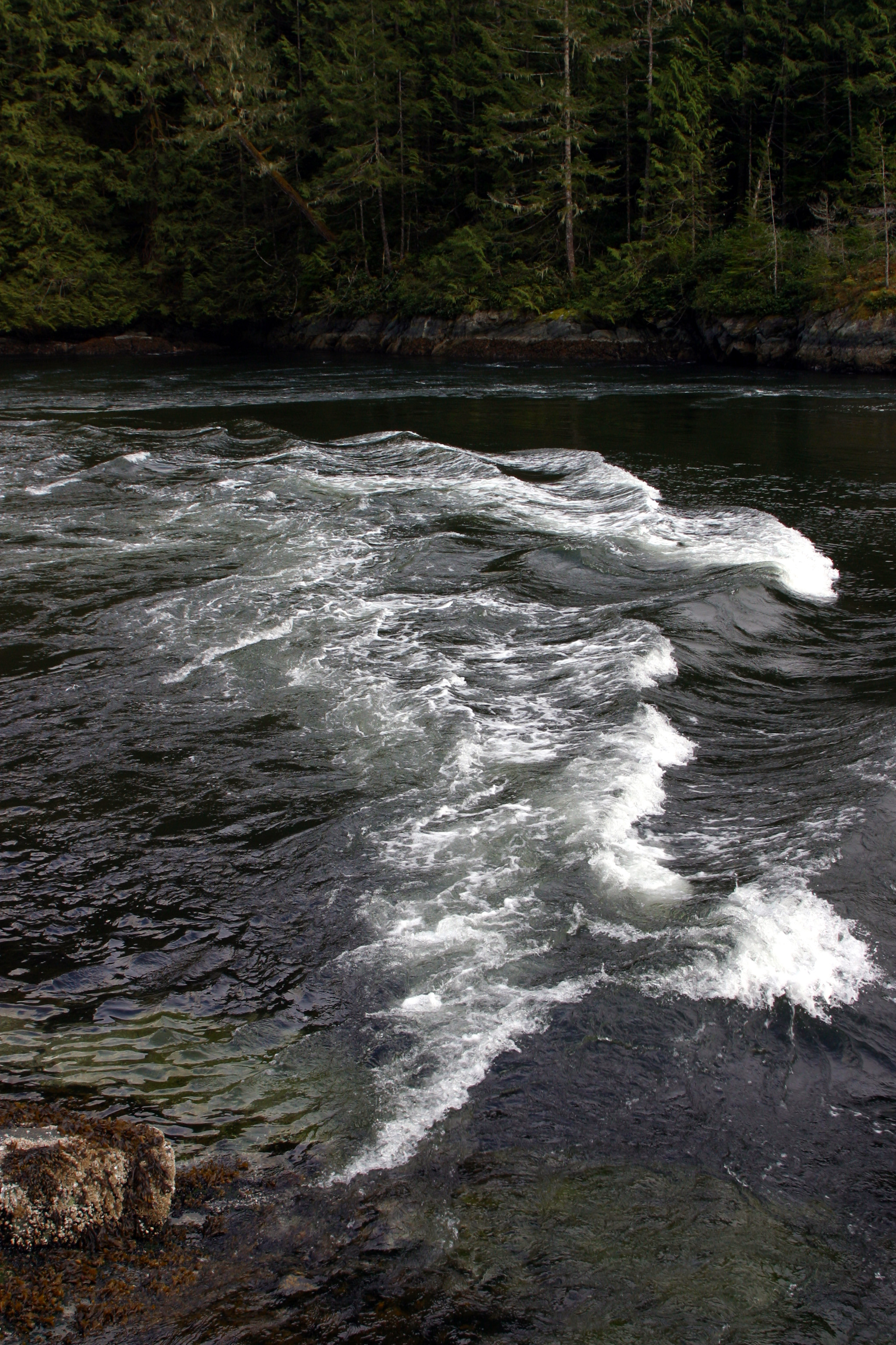
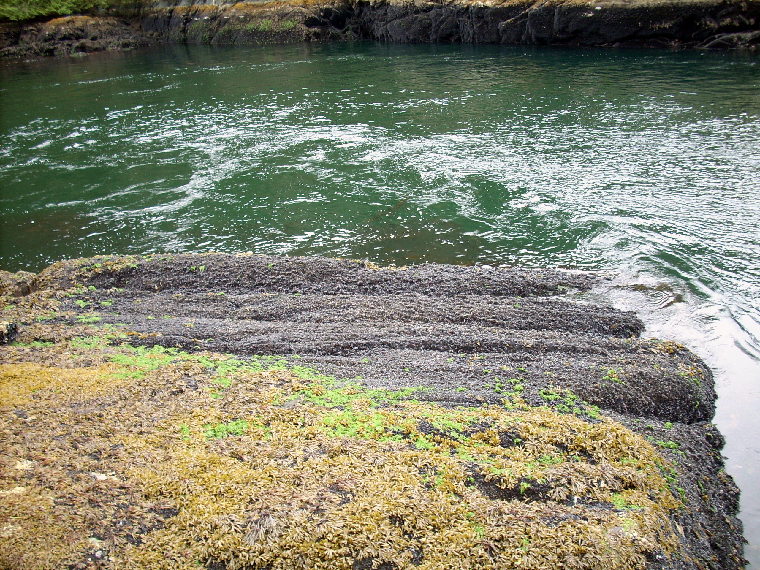
The Malibu Rapids forms the entrance to Princess Louisa Inlet and is also connected to the Jervis Inlet. The tidal flow of both inlets pass through this narrow and shallow passage that creates a fast moving (approximately 9 kn or 17 km/h) and strong tidal rapids during the peak flows. At slack tide, the entrance is virtually flat calm similar to the Skookumchuck Narrows near the entrance of the Jervis Inlet.The way to determine the direction of the tidal flow at the narrows is to observe the direction in which the tide is flowing. If the tidal flow is heading toward the Jervis Inlet then the tide is going out (low tide). But if the flow is moving toward Princess Louisa Inlet the tide it is coming in (high tide)[1].
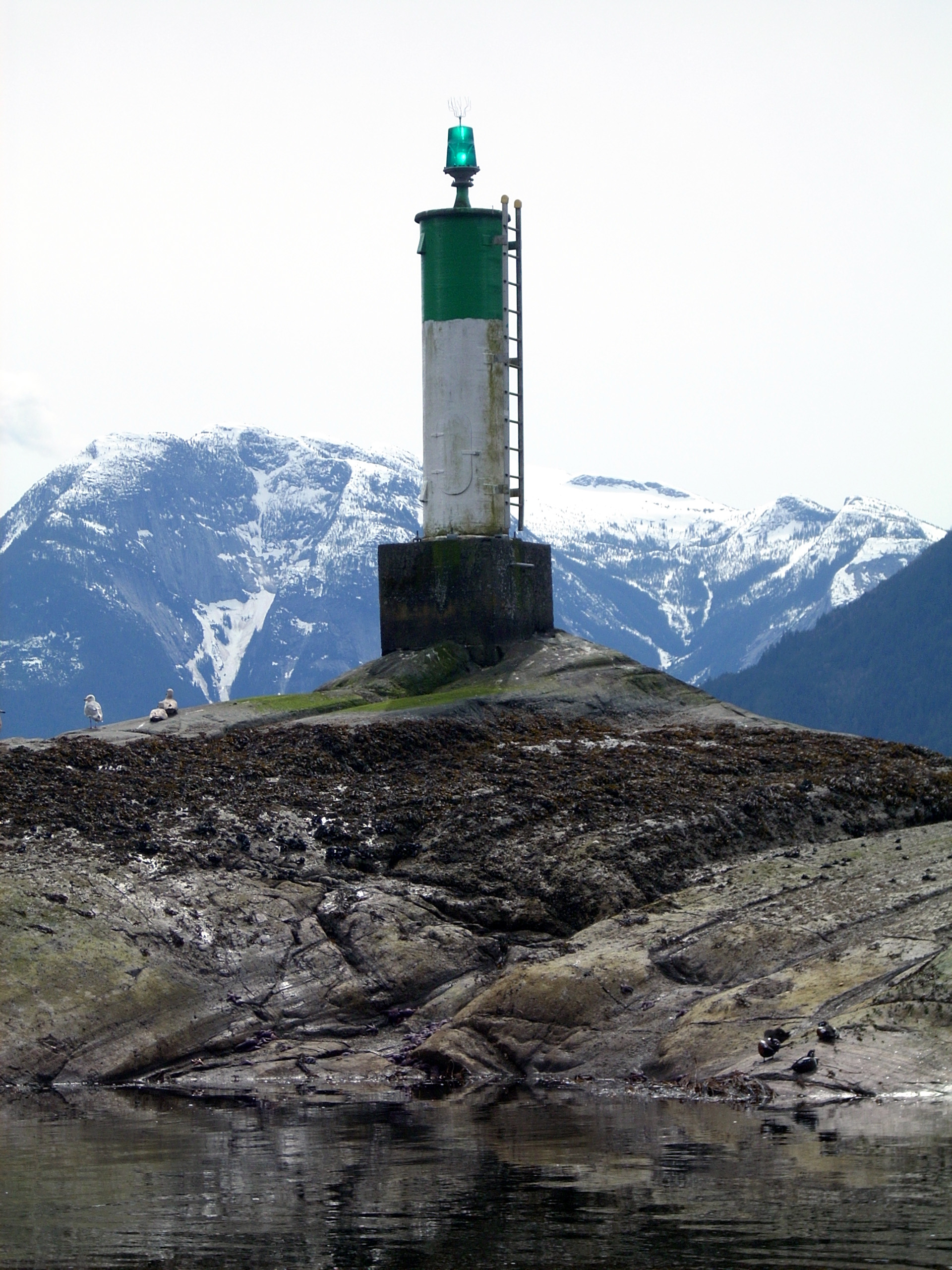
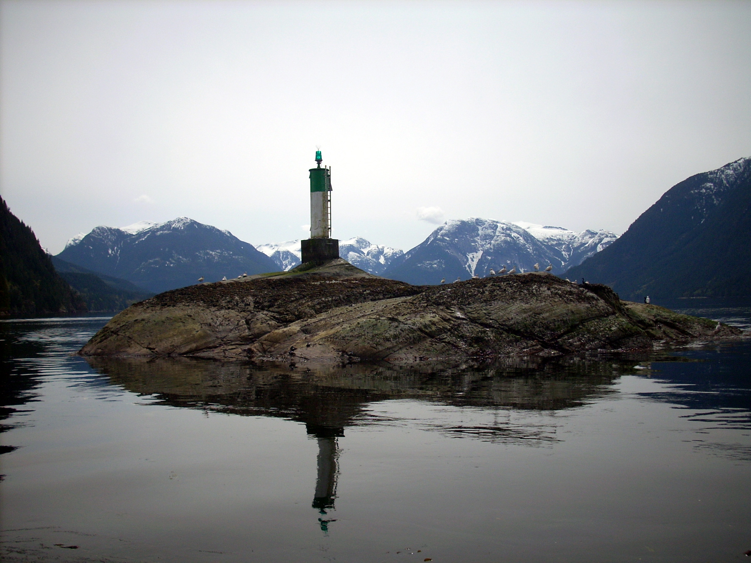
The entrance is large enough to allow marine traffic through. The narrow passage is defined by Malibu Isle and a System B type Lateral navigation buoy on the Jervis Inlet side and Malibu and the mainland on the Princess Louisa Inlet side.
External links
- "Malibu Rapids". BC Geographical Names. http://apps.gov.bc.ca/pub/bcgnws/names/4664.html.
- Malibu Club Web Site
- BCGNIS Georaphical Geographical Name Detail for the Malibu Rapids
- Tides at Malibu*
- Princess Louisa Inlet and Malibu Videos
References
- ^ Hitz, Charles W.(2003). Through the Rapids - The History of Princess Louisa Inlet, p.14-15. Sitka 2 Publishing., Kirkland, WA. ISBN 0-9720255-0-2.
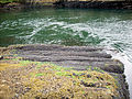
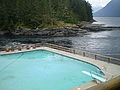
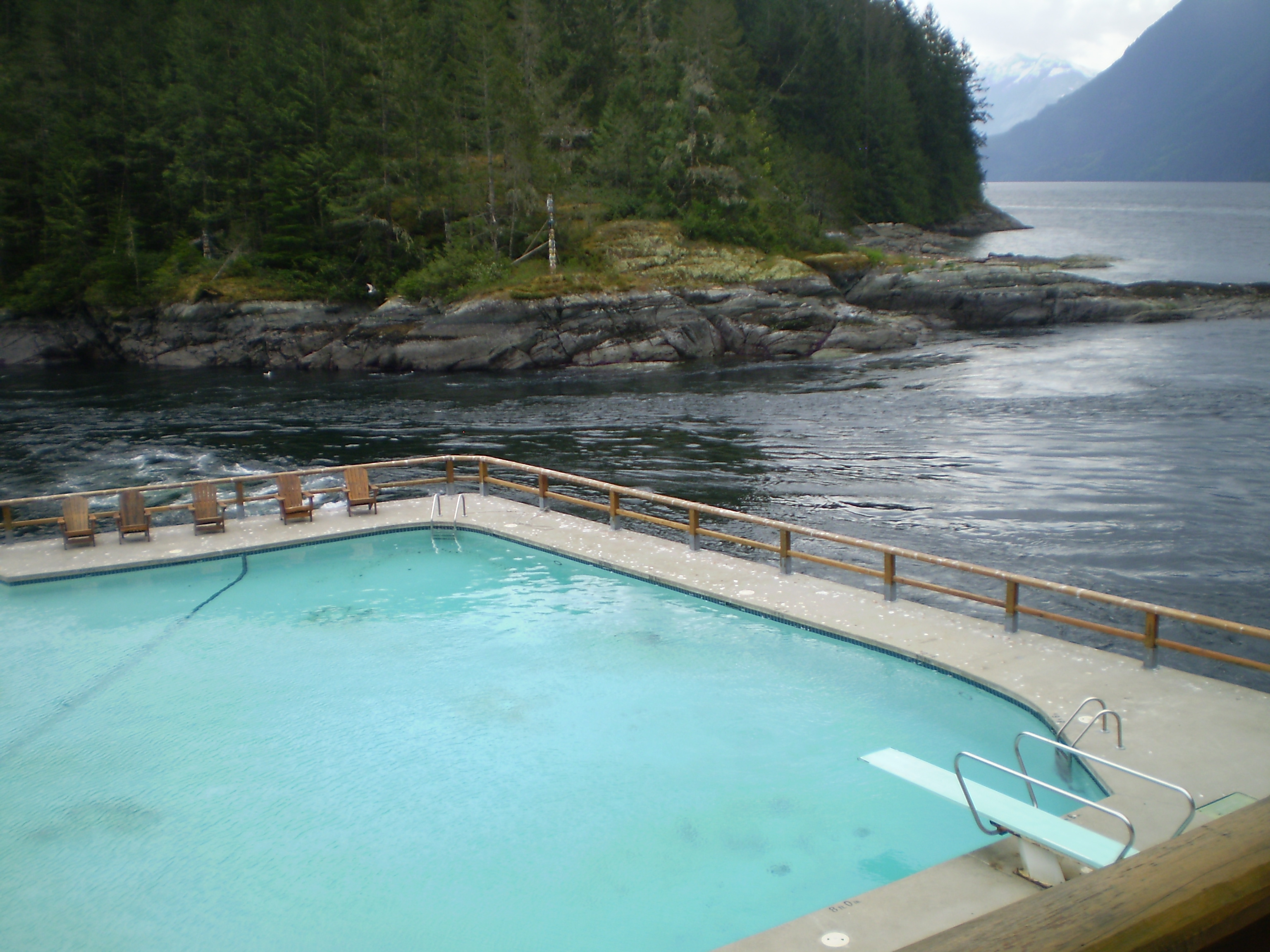
Gallery
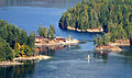
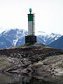
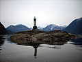
- Malibu Rapids Gallery
-
-

-
-
-
-
-
Categories:- Sunshine Coast Regional District
- Straits of British Columbia
- New Westminster Land District


Wikimedia Foundation. 2010.