- Fuorn Pass
-
Fuorn Pass 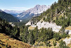
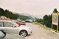
Fuorn PassElevation 2,149 m (7,051 ft) Traversed by Road Location Location of Fuorn Pass
 Fuorn Pass
Location  Switzerland
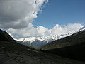
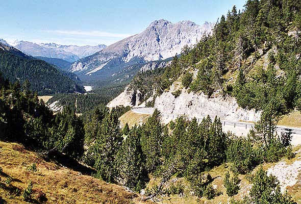
Range Alps Coordinates 46°38.472′N 10°17.598′E / 46.6412°N 10.2933°ECoordinates: 46°38.472′N 10°17.598′E / 46.6412°N 10.2933°E Fuorn Pass or Ofen Pass (Romansh: Pass dal Fuorn, German: Ofenpass, Italian: Passo del Forno) (el. 2149 m.) is a high alpine mountain pass in the canton of Graubünden in Switzerland. The name is based on the ovens that were used in ironworks in the area. The ruins of these ovens can still be seen from nearby trails.
It connects Zernez in the Engadin valley with Val Müstair, crossing the (only) Swiss National Park in Switzerland.
It was here that a brown bear (Ursus arctos) was seen and photographed in July 2005 - the first sighting of a wild bear in Switzerland since 1923[1]
In 2004, the biggest Honey fungus spotted in Europe was found near the Pass. The fungus is about 1,000 years old and its diameter is estimated at 500 to 800 meters.
Contents
See also
- List of highest paved roads in Europe
- List of mountain passes
- List of the highest Swiss passes
References
External links
- Profile on climbbybike.com
- Max Bundi: Fuorn Pass in Romansh, German, French and Italian in the online Historical Dictionary of Switzerland.
- Hike:Fuorn Hike Switzerland, Graubünden
Gallery
-
-
-
-

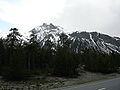
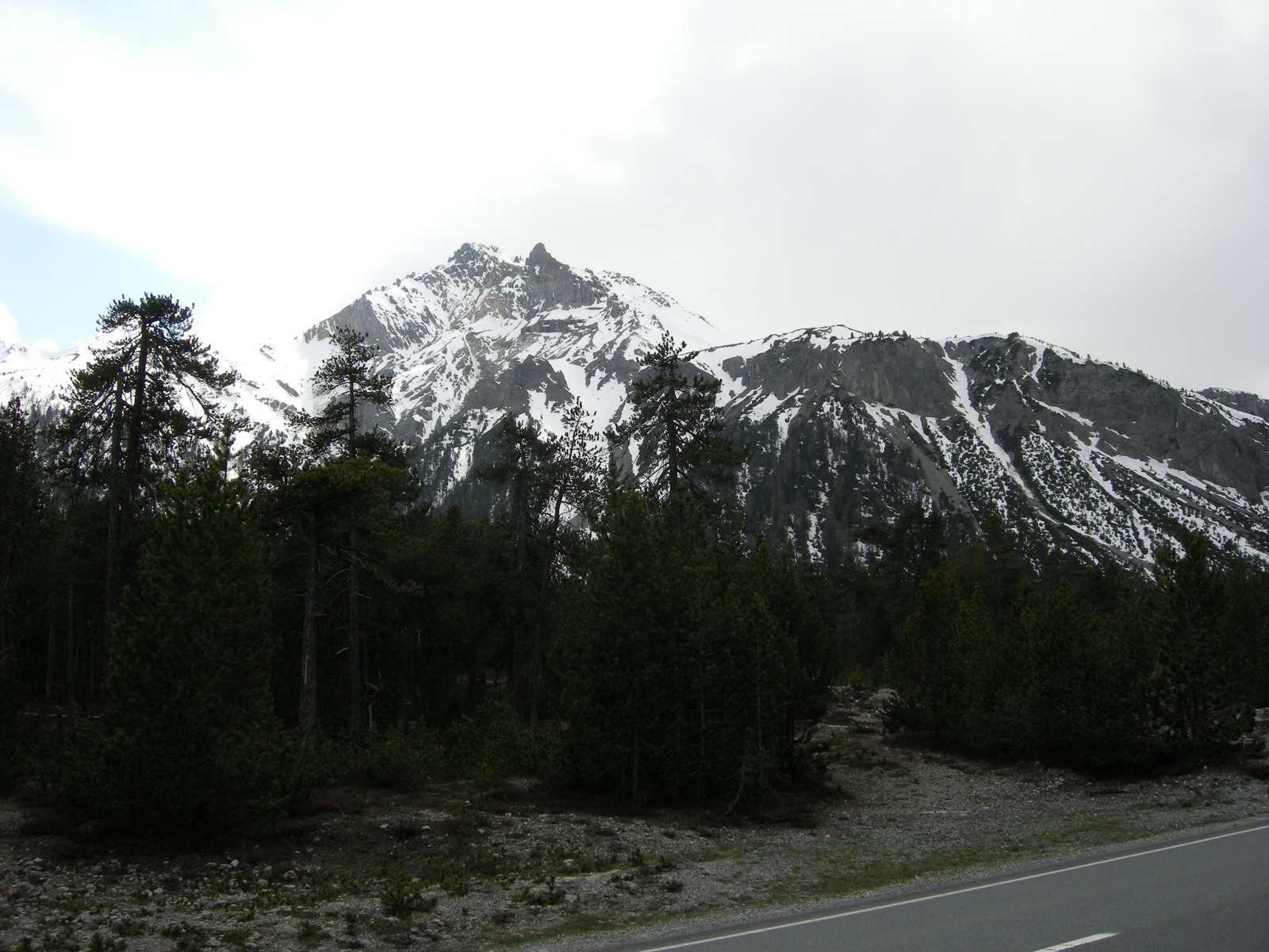
The Ortler, East of the Fuorn Pass
Categories:- Engadin
- Mountain passes of Graubünden
- Mountain passes of Switzerland
- Mountain passes of the Alps
- Graubünden geography stubs


Wikimedia Foundation. 2010.