- Edgehead
-
Coordinates: 55°52′26″N 3°00′07″W / 55.874°N 3.002°W
Edgehead 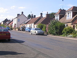
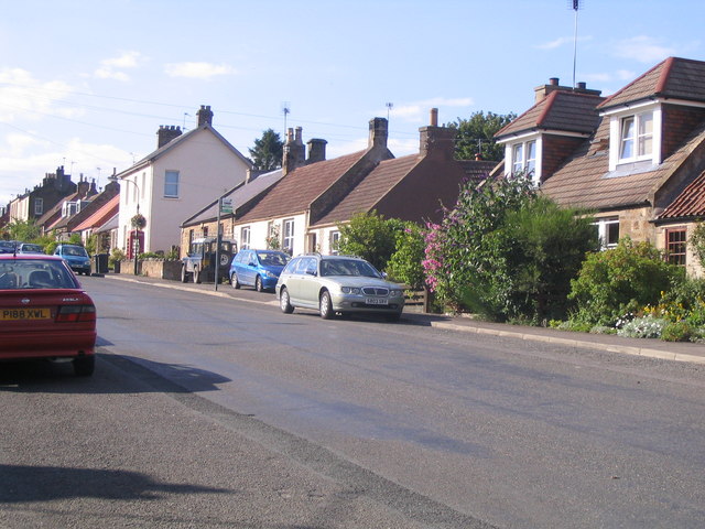
Village of Edgehead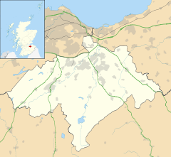
 Edgehead
Edgehead shown within MidlothianCouncil area Midlothian Shire county Scottish Borders Country Scotland Sovereign state United Kingdom Police Lothian and Borders Fire Lothian and Borders Ambulance Scottish EU Parliament Scotland List of places: UK • Scotland • Edgehead (also known as Chesterhill) is a village in Midlothian, Scotland.
Contents
Location
Edgehead is situated east of Dewartown and Mayfield, north-west of Pathhead and south-east of Dalkeith. Two areas of woodland, Windmill Wood and Chesterhill Wood, are located beside the northern end of the village.[1]
History
The village developed along the long straight Roman road Dere Street, and remains linear in nature. It expanded in the 19th century when a coal mine was opened in Windmill Woods. The village once contained four shops supplying both residents and local farms. It was designated a conservation area by Midlothian Council in 1982, and redesignated following a review in 1996. The population of Edgehead was 115 in August 2008.[1]
Edgehead Colliery
Edgehead Colliery was a coal mine located in Windmill Woods in the 19th and 20th century. It was initially owned by the Earl of Stair. Around 1930 ownership transferred to the Fordel Mains (Midlothian) Colliery Company, and it became part of the National Coal Board in 1949. The colliery was closed in 1959, and the site is now owned by the Royal Commission on the Ancient and Historical Monuments of Scotland.[2] In 1842 the mine employed 127 workers; by 1959 this had fallen to 40.[1]
Naming
Although the village is often called Edgehead, this name is in fact technically applied only to the farmhouse located at the top of the hill. The correct name for the remainder of the village is Chesterhill.[3] Chesterhill is descended from an ancient cattlefold which later became a Roman camp; Edgehead literally means "fold".[4]
Facilities
Edgehead has no local shops as of 2010. A small park and children's play area is located near the top of the village. A telephone box and letter box are found near the top of the village.[1]
Cranston Primary School was located at the south of the village. In 2004 it had 57 pupils.[5] However it has since been closed following the opening of a number of new primary schools in Midlothian and the site sold for redevelopment.[6]
Historic buildings
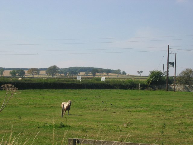
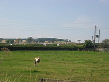 Nearby fields
Edgehead contains three listed buildings:[1]
- The Old Windmill, one of very few remaining 18th-century windmills in Scotland, was converted for residential use in the 19th century and has been category B listed since January 1971.[7]
- Edgehead Farmhouse is an early 19th-century two-storey building located to the north of the village. Although the farm is still in use, the house is no longer lived in. It has been category C(s) listed since February 2003.[3]
- Edgehead Lodge, a mid-19th-century sandstone construction initially part of the estate of nearby Oxenfoord Castle, was category C(s) listed at the same time as Edgehead Farmhouse.[8]
Transport
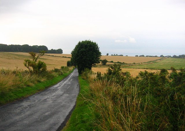
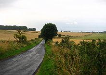 Lane
LaneEdgehead is located on a minor road which runs from Pathhead to join an unnumbered road north of Whitehill which leads to Dalkeith.[9] The road into Dalkeith previously formed part of the trunk A68 road, but was bypassed in September 2008 to relieve traffic congestion in Dalkeith town centre.[10] There is some evidence from 17th-century maps to suggest that the road through Edgehead was part of the main route between Edinburgh and Lauder now part of the A68.[11] It was originally part of the Roman road Dere Street, which ran from York to Cramond.[1]
The village is served by Munro's of Jedburgh bus routes 51 (Edinburgh-Jedburgh), 52 (Edinburgh-Kelso) and 53 (Dalkeith-Lauder), which combine to provide an hourly service in each direction Monday to Saturday daytimes.[12]
See also
References
- ^ a b c d e f Midlothian Council - Edgehead Conservation Area
- ^ ScotlandsPlaces - Edgehead Colliery
- ^ a b Edgehead Farmhouse - Cranston - Midlothian - Scotland | British Listed Buildings
- ^ Gaelic place names of the Lothians
- ^ Midlothian Rural Schools Action Group - The Schools
- ^ Midlothian Council: Cranston Primary School - Development Brief - Report by Director Strategic Services
- ^ Chesterhill, the Old Windmill - Cranston - Midlothian - Scotland | British Listed Buildings
- ^ Edgehead Lodge, Including Boundary Wall and Gatepiers - Cranston - Midlothian - Scotland | British Listed Buildings
- ^ Edgehead Village - Google Maps
- ^ A68 Dalkeith Northern Bypass | Transport Scotland
- ^ Old Roads of Scotland - Roads in the 1600's: The Maps of Timothy Pont
- ^ Munro's of Jedburgh - Routes
External links
Categories:- Midlothian
- Villages in Midlothian

Wikimedia Foundation. 2010.