- Tegher, Armenia
-
Tegher
Տեղեր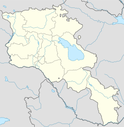
 Tegher
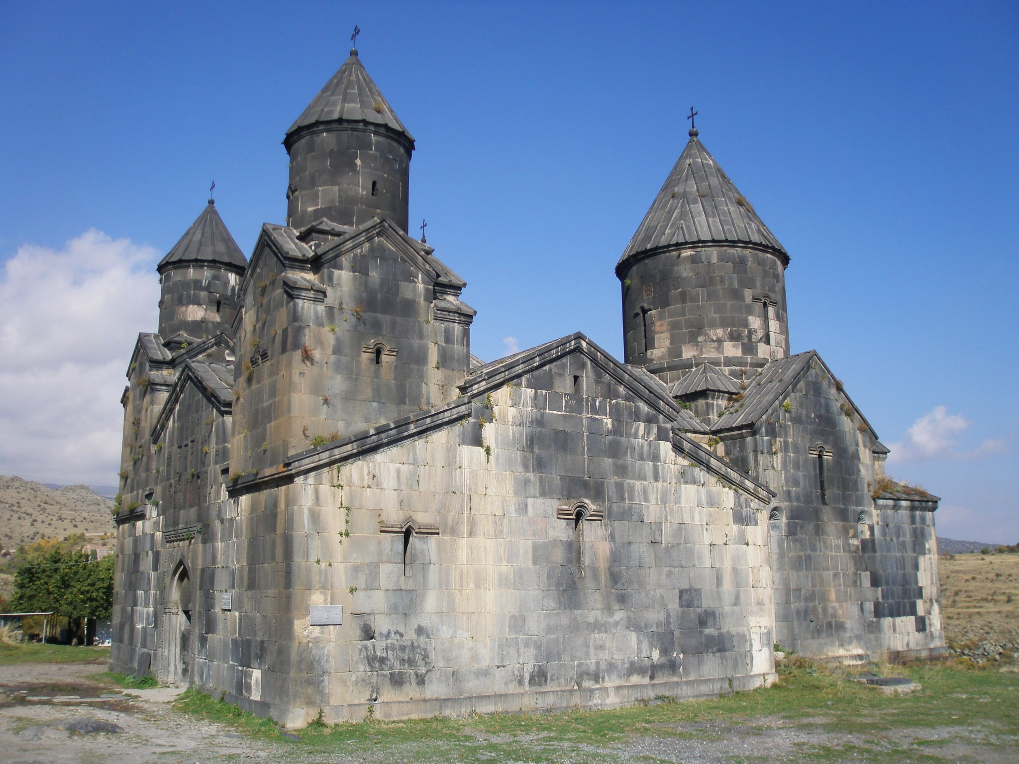
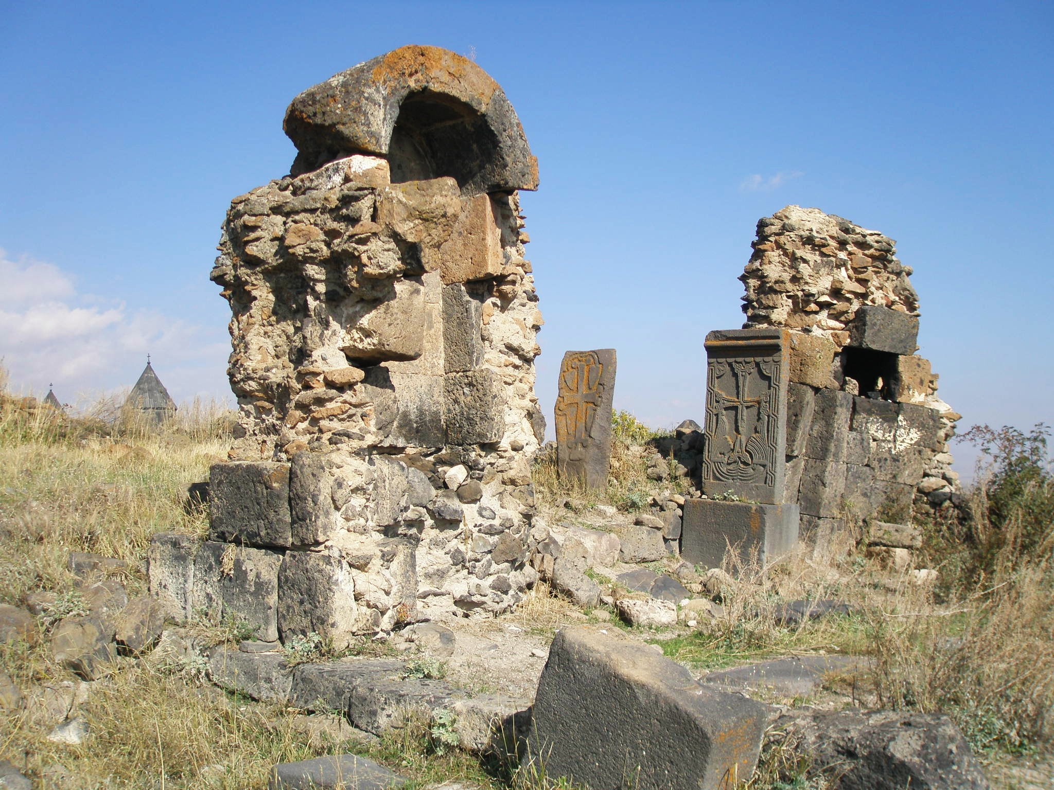
Coordinates: 40°20′43″N 44°14′11″E / 40.34528°N 44.23639°ECoordinates: 40°20′43″N 44°14′11″E / 40.34528°N 44.23639°E Country Armenia Marz (Province) Aragatsotn Elevation 1,710 m (5,610 ft) Population (2001) – Total 90 Time zone (UTC+4) – Summer (DST) (UTC+5) Tegher (Armenian: Տեղեր, also Romanized as Tekher and Dgyr) is a town in the Aragatsotn Province of Armenia on the southern slope of Mount Aragats. The town contains the Monastery of Tegher built in 1213. The ruins of the 9th century village of Tegher sits a short distance walk from the monastery. Numerous foundations may be seen, along with the remains of a Tukh Manuk funerary chapel of the 5th century. Nearby is also a medieval to 19th century cemetery with some mausoleums and khachkars.
Nearby is also a large radio telescope as well as an unfinished solar power plant, both from the Soviet era.
Contents
Gallery
-
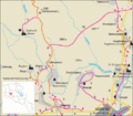
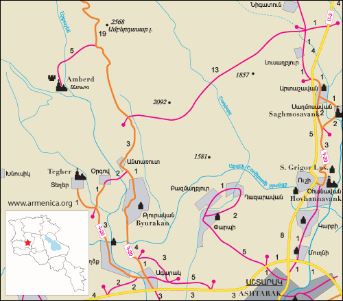
Road map of Tegher and the surrounding region.
-
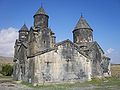
Tegher Monastery
-
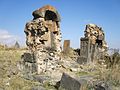
5th century Tukh Manuk Chapel ruins near the monastic complex.
-

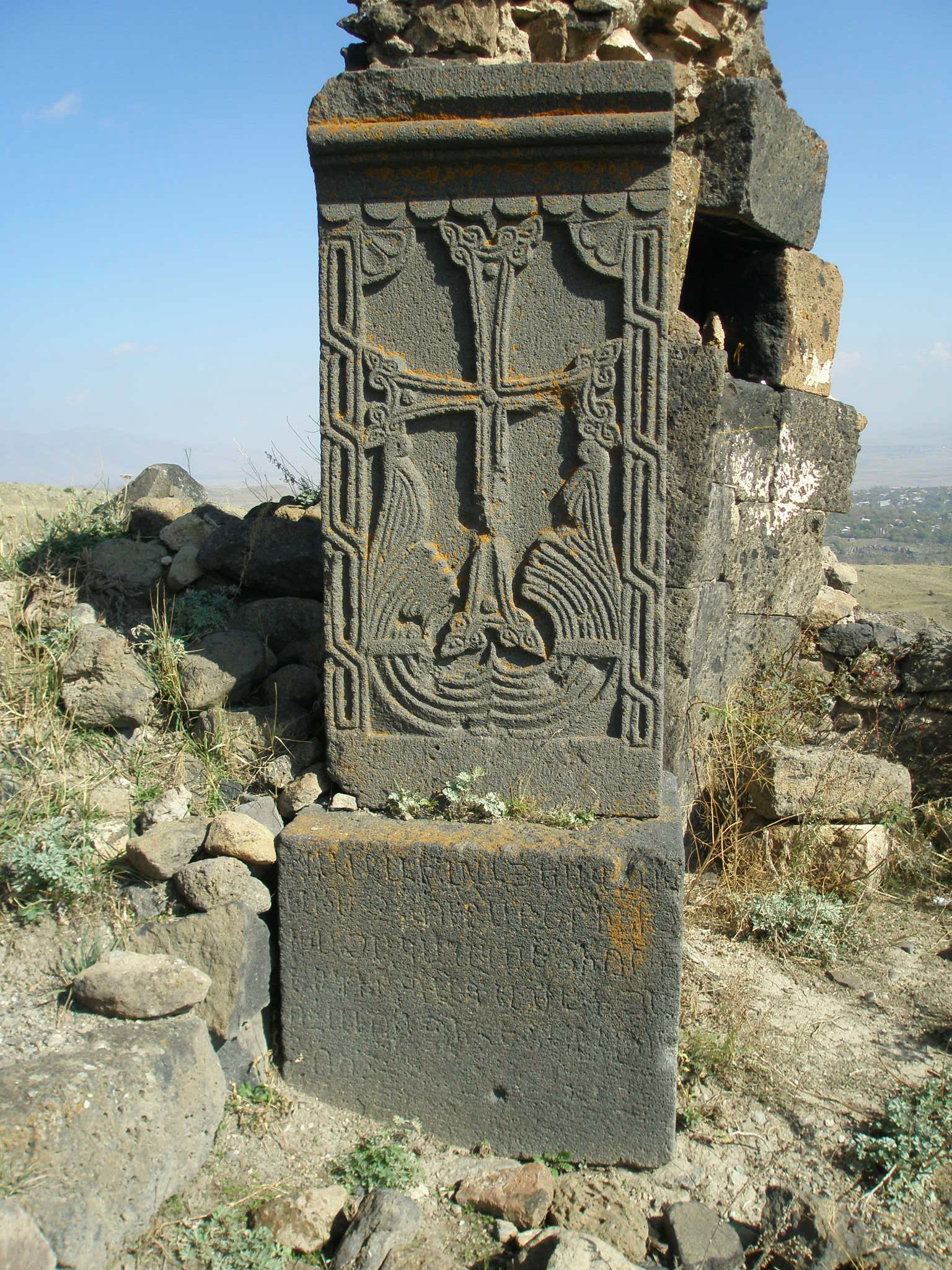
Khachkar at the chapel.
Nearby sites
Towns
Villages
Historical sites
- Amberd fortress
References
- Tegher, Armenia at GEOnet Names Server
- Report of the results of the 2001 Armenian Census
- Kiesling, Rediscoving Armenia, p. 17, available online at the US embassy to Armenia's website
External links
Capital: AshtarakAshtarak Agarak · Aghtsk · Antarut · Aragatsotn · Artashavan · Aruch · Ashtarak · Avan · Bazmaghbyur · Byurakan · Dprevank · Ghazaravan · Karbi · Kosh · Lernarot · Nor Amanos · Nor Yedesia · Ohanavan · Orgov · Oshakan · Parpi · Saghmosavan · Sasunik · Shamiram · Tegher · Ujan · Ushi · Verin Sasunik · Voskehat · Voskevaz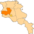
Aparan Aragats Talin Agarak · Akunk · Aragats · Areg · Arteni · Ashnak · Barozh · Baysz · Dashtadem · Davtashen · Dian · Garnahovit · Getap · Ghabaghtapa · Gyalto · Hakko · Hatsashen · Irind · Kakavadzor · Karmrashen · Katnaghbyur · Lusakn · Mastara · Metsadsor · Nerkin Bazmaberd · Nerkin Sasunashen · Nor Artik · Partizak · Shgharshik · Sorik · Suser · Talin · Tlik · Tsaghkasar · Tsamakasar · Verin Bazmaberd · Verin Sasunashen · Vosketas · Yeghnik · Zarinja · ZovasarCategories:- Populated places in Aragatsotn
- Aragatsotn geography stubs
-


Wikimedia Foundation. 2010.