- Netiv HaAsara
-
- For the settlement in the Sinai, see Netiv HaAsara, Sinai.
Netiv HaAsara 
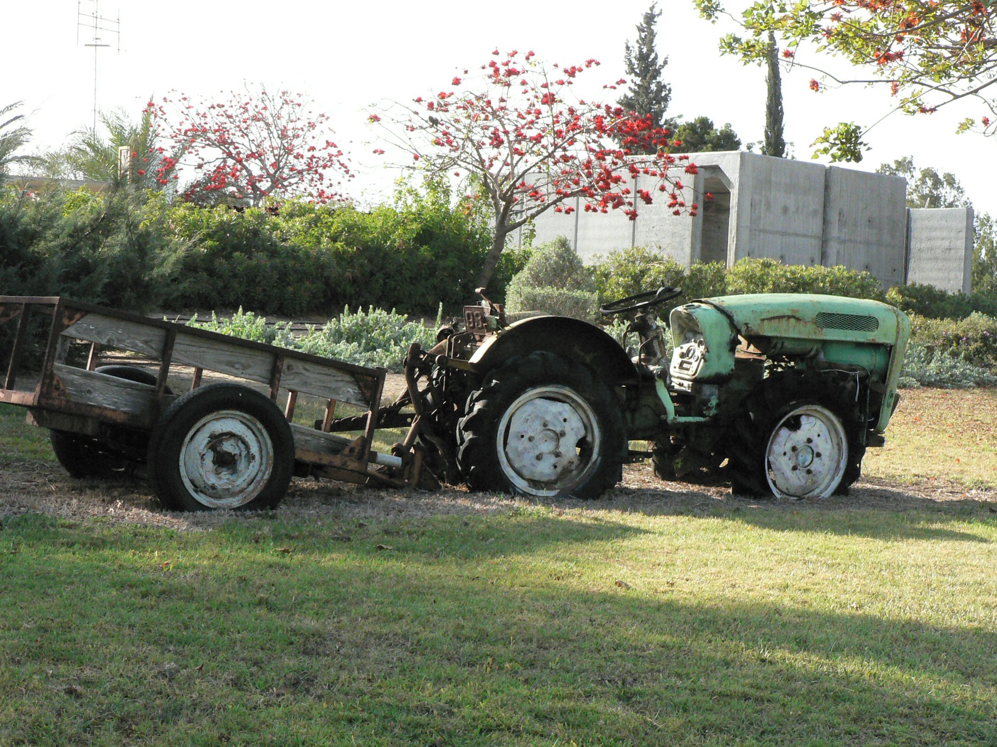
A tractor near Netiv HaAsara's concrete shelter.Hebrew נְתִיב הָעֲשָׂרָה Founded 1982 Founded by Former residents of Netiv HaAsara in Sinai Council Hof Ashkelon Region North-western Negev Affiliation Moshavim Movement Coordinates 31°34′15.24″N 34°32′21.84″E / 31.5709°N 34.5394°ECoordinates: 31°34′15.24″N 34°32′21.84″E / 31.5709°N 34.5394°E 
 Netiv HaAsara
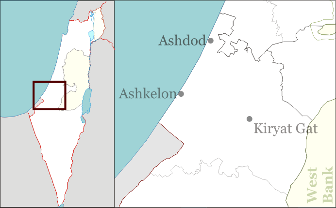
Website www.netiv-10.co.il Netiv HaAsara (Hebrew: נְתִיב הָעֲשָׂרָה, lit. Path of the Ten) is a moshav in southern Israel. Located in the north-west Negev, it falls under the jurisdiction of Hof Ashkelon Regional Council. In 2006 it had a population of 704.
The moshav was founded in 1982 by 70 families who were residents of the former Israeli settlement of Netiv HaAsara in the Sinai Peninsula, which was evacuated as a result of the Camp David Accords.[1] The original moshav had been named for ten soldiers that were killed in a helicopter accident south of Rafah in 1971, and was originally named "Minyan".[2]
After Israel's disengagement from Gaza in 2005, Netiv HaAsara became the closest community in Israel to the Gaza Strip, located 400 meters away from the edge of the Palestinian town of Beit Lahiya. At the southern edge of the village, a car park was converted into an Israel Defense Forces base and tanks were deployed. An electric fence was erected to stop infiltration attempts from Gaza, and three concrete walls were built against potential Palestinian snipers.[1]
The moshav was a target of Qassam rockets,[1] Katyusha rockets,[3] and mortar shellings,[4] In 2007, the Popular Resistance Committees sent two guerrillas to infiltrate the moshav, but they were killed by the IDF.[5]
Dana Galkowicz was killed on July 14, 2005 at Netiv HaAsara and on 20 on March 2010, a Thai worker was killed also , both with mortar shells . [6]
References
- ^ a b c Berg, Raffi (2005-11-18). "Israelis on the frontline with Gaza". BBC. http://news.bbc.co.uk/2/hi/middle_east/4446576.stm. Retrieved 2008-10-01.
- ^ Mapa's concise gazetteer of Israel. Yuval El'azari (ed.). Tel-Aviv: Mapa Publishing. 2005. pp. p. 381. ISBN 9657184347. (Hebrew)
- ^ Katz, Yaakov (2006-05-16). "Katyusha rocket fired at Netiv Ha'asara". Jerusalem Post. http://fr.jpost.com/servlet/Satellite?cid=1145961353353&pagename=JPost/JPArticle/ShowFull. Retrieved 2008-10-01.
- ^ Hadad, Shmulik (2008-01-13). "8 mortar shells hit community of Netiv HaAsara". Ynetnews. http://www.ynet.co.il/english/articles/0,7340,L-3493757,00.html. Retrieved 2008-10-01.
- ^ Greenberg, Hanan (2007-08-25). "IDF forces foil terror plot". Ynetnews. http://www.ynetnews.com/articles/0,7340,L-3441642,00.html. Retrieved 2008-10-01.
- ^ Galkowicz, Natan (2007-08-25). "Victims of Terror". Foreign Ministry of Israel. http://www.pmo.gov.il/PMOEng/Communication/IsraelUnderAttack/Moshav+Netiv+Haasara/victim140705.htm. Retrieved 2010-25-03.
External links
- Official website (Hebrew)
- Urquhart, Conal (2005-11-09). "Israelis living near Gaza seek aid to relocate after rocket fire". The Guardian. http://www.guardian.co.uk/world/2005/nov/09/israel. Retrieved 2008-10-01.
- Ben Simon, Daniel. "'This is really not what we hoped for'". Haaretz. http://www.haaretz.com/hasen/pages/ShArt.jhtml?itemNo=948028&contrassID=2&subContrassID=15. Retrieved 2008-10-01.
Kibbutzim Moshavim Beit Shikma · Berekhya · Ge'a · Heletz · Hodia · Kokhav Michael · Mash'en · Mavki'im · Nir Yisrael · Netiv HaAsara · Talmei YafehCommunal settlements Youth villages Categories:- Hof Ashkelon Regional Council
- Moshavim
- Populated places established in 1982
Wikimedia Foundation. 2010.