- Ocna de Fier
-
Ocna de Fier — Commune —  Location in Caraş-Severin County
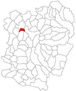 Location in Romania
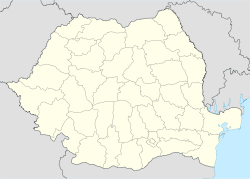
 Ocna de Fier
Coordinates: 45°20′N 21°47′E / 45.333°N 21.783°E Country  Romania
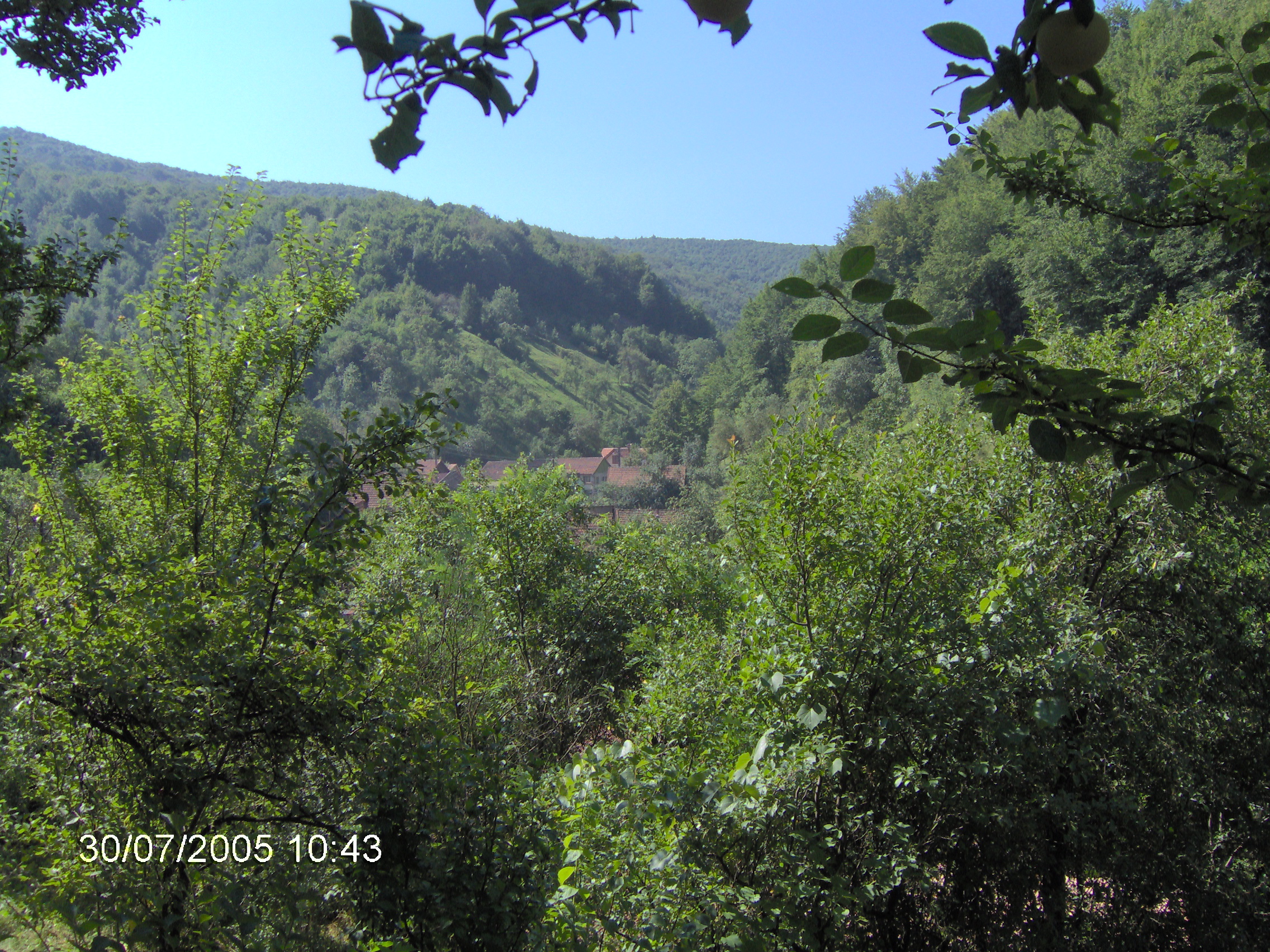
County Caraş-Severin County Population (2002)[1] - Total 792 Time zone EET (UTC+2) - Summer (DST) EEST (UTC+3) Ocna de Fier (Hungarian: Vaskő, German: Eisenstein) is a commune in Caraş-Severin County, in the Banat region of southwestern Romania. It is composed of a single village, Ocna de Fier.
History
Along with Dognecea area, Ocna de Fier is among the few settlements in the world that supported almost continuous mining for some 4000 years.[2]
Archaeological evidence shows that mining in the area dates back to the Bronze Age (1900 - 1700 BC). The main ore exploited in those times was native copper from the oxidation zone of the deposit. Later on, iron ores brought about a gradual switch from copper to iron mining.
Mining was an activity of the Dacians, the ancient inhabitants of present day Romania. After the Roman conquest in 106, mining was expanded in the Roman province of Dacia. At Berzovis (present day Berzovia, ten kilometres northwest of Ocna de Fier) a Roman metallurgy school, Schola fabrorum, was established, showing the keen interest the Romans had in metal extraction. At Cracul cu Aur (= "Golden Hill" in Romanian), north of Ocna de Fier, old Roman gold mining galleries can still be seen. They look like the much better preserved ones at Rosia Montana ("Verespatak"), in the Apuseni Mountains.
The "Constantin Gruescu" Iron Aesthetic Mineralogy Museum is located in Ocna de Fier.[3]
References
- ^ (Romanian) "Ocna de Fier", at the Erdélyi Magyar Adatbank's Recensământ 2002; Retrieved on August 22, 2009
- ^ "Age and tectonic setting of Bocşa and Ocna de Fier – Dognecea", Mineralium Deposita, 1999
- ^ [1] Museum Information
Caraş-Severin County, Romania Cities Reşiţa (county seat) · Caransebeş
Towns Anina · Băile Herculane · Bocşa · Moldova Nouă · Oraviţa · Oţelu Roşu
Communes Armeniş · Bănia · Băuţar · Berlişte · Berzasca · Berzovia · Bolvaşniţa · Bozovici · Brebu · Brebu Nou · Buchin · Bucoşniţa · Caraşova · Cărbunari · Ciclova Română · Ciuchici · Ciudanoviţa · Constantin Daicoviciu · Copăcele · Cornea · Cornereva · Coronini · Dalboşeţ · Doclin · Dognecea · Domaşnea · Eftimie Murgu · Ezeriş · Fârliug · Forotic · Gârnic · Glimboca · Goruia · Grădinari · Iablaniţa · Lăpuşnicel · Lăpuşnicu Mare · Luncaviţa · Lupac · Marga · Măureni · Mehadia · Mehadica · Naidăş · Obreja · Ocna de Fier · Păltiniş · Pojejena · Prigor · Răcăşdia · Ramna · Rusca Montană · Sacu · Sasca Montană · Sicheviţa · Slatina-Timiş · Socol · Şopotu Nou · Târnova · Teregova · Ticvaniu Mare · Topleţ · Turnu Ruieni · Văliug · Vărădia · Vermeş · Vrani · Zăvoi · Zorlenţu Mare
Categories:- Communes in Caraş-Severin County


Wikimedia Foundation. 2010.