- Georgia State Route 42
Infobox road
state=GA
type=
route=42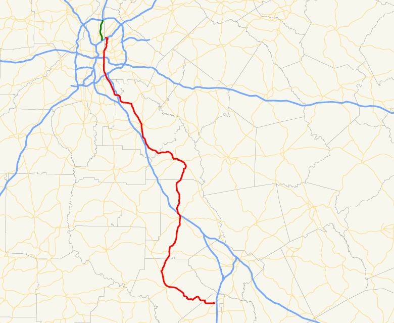
length_mi=
length_ref= [http://www.dot.state.ga.us/DOT/plan-prog/transportation_data/400reports/2002/dpp444_2002.pdf]
length_round=0
established=
direction_a=South
direction_b=North
starting_terminus=
junction=ending_terminus=
previous_route=41
next_route=43State Route 42 is a Georgia state highway that runs in a generally north-south orientation from a short distance northeast of Atlanta in DeKalb County to Byron in Peach County.
Routing
S.R. 42 spends a significant portion of its route concurrent with U.S. 23. The highway begins at an intersection with S.R. 13 (Buford Highway) northeast of Atlanta, following North Druid Hills Road past
Interstate 85 exit 89. The route then follows Briarcliff Road to an intersection with Ponce de Leon Avenue (U.S. 23/U.S. 29/U.S. 78/U.S. 278), where it continues south concurrent with U.S. 23 via Moreland Avenue. Moreland Avenue straddles the Fulton-DeKalb county line for about six miles before diverging to the southeast, leaving Atlanta, and crossing the Perimeter.S.R. 42 crosses I-675 before entering the city of Stockbridge in Henry County. After a brief additional concurrency with S.R. 138, the highway continues southward through McDonough and Locust Grove, both of which nearby
Interstate 75 skirts to the west. Although most concurrencies of U.S. and state routes in Georgia are referred to by their U.S. route number, S.R. 42 in Henry County is almost never referred to as U.S. 23 by local residents, who instead prefer the state designation.S.R. 42 continues into Butts County, passing through the city of Jackson before splitting off from U.S. 23. The route crosses I-75 at exit 188, serving the Monroe County city of Forsyth. Continuing south through Crawford County, it serves the towns of Roberta and Knoxville via brief concurrencies with U.S. 341 and U.S. 80. The route at last proceeds southeast to Byron, ending at S.R. 49 near I-75 exit 149.
S.R. 42 consists of two lanes for most of its route, notable exceptions being along part of Moreland Avenue and through the city of Stockbridge.
See also
* U.S. 23
Wikimedia Foundation. 2010.