- Auderghem
-
Auderghem Name transcription(s) – French Auderghem – Dutch Oudergem 
Flag
Coat of armsLocation in Belgium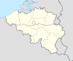
 Auderghem
Coordinates: 50°49′N 04°26′E / 50.817°N 4.433°E Country Belgium Region Brussels Community Flemish Community
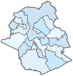
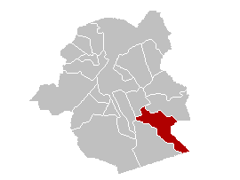
French CommunityArrondissement Brussels Government – Mayor Didier Gosuin (FDF) Area – Total 9.03 km2 (3.5 sq mi) Population (1 January 2010)[1] – Total 30,811 – Density 3,412.1/km2 (8,837.2/sq mi) Postal codes 1160 Area codes 02 Website www.auderghem.be Map of Auderghem
Auderghem (former Dutch spelling, now used in French; pronounced [odəʁˈɡem]) or Oudergem (Dutch: [ˈɔudərʝɛm] (
 listen)) is one of the nineteen municipalities located in the Brussels-Capital Region of Belgium.
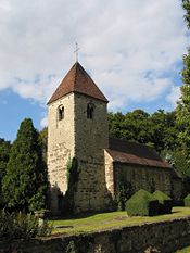 The Chapel of Saint Anne
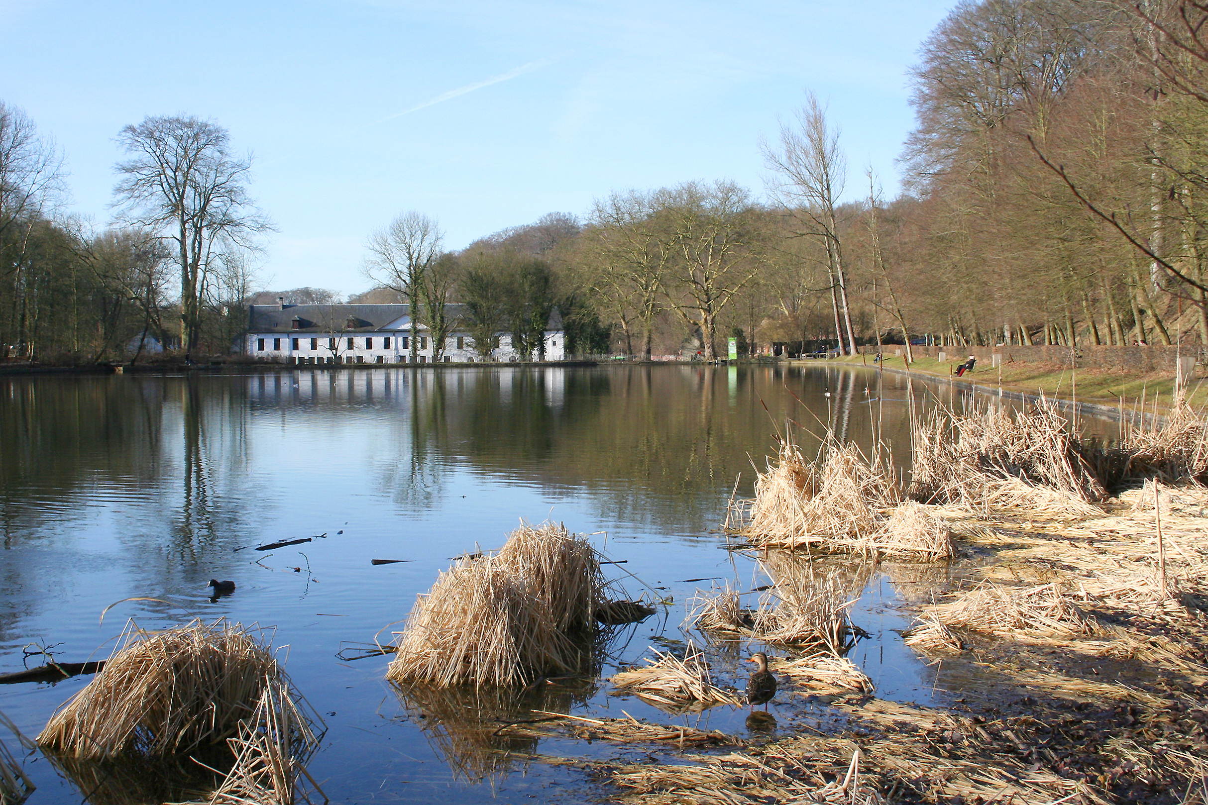
Located to the southeast of the capital, along the Woluwe valley and at the entrance to the Sonian Forest (Forêt de Soignes, Zoniënwoud), the municipality has an environmental advantage. Despite large roads slicing through and the increasing traffic, it has been able to preserve a relatively important part of its natural and historic legacy: the creeks, the Abbey of Rouge-Cloître or Rood Klooster (Red Cloister) and its art center, the Priory of Val Duchesse or Hertoginnedal (Duchess Dale), the Château of Trois Fontaines or Drie Fonteinen (Three Fountains), and the remarkable Chapel of Saint Anne.
Auderghem is adjacent to the municipalities of Etterbeek, Ixelles - Elsene, Woluwe-Saint-Pierre - Sint-Pieters-Woluwe, and Watermael-Boitsfort - Watermaal-Bosvoorde.
The municipality is governed by its 16th mayor, Didier Gosuin (FDF).
Contents
History
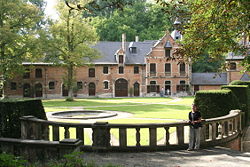 The Priory of Val Duchesse
Three forest villages (Auderghem, Watermael, and Boitsfort-Bosvoorde), were one for centuries. In 1794, the soldiers of the French Revolution decided to separate these into three distinct municipalities. In 1811, Napoleon decided to reunite the three villages, by imperial decree, into a single administrative entity. But Auderghem was withdrawn from this union by royal act, leaving Watermael-Boitsfort or Watermaal-Bosvoorde on its own. Thus, Auderghem became an independent municipality in 1863, with only 1,600 inhabitants.
With the construction of the rail line linking Brussels and Tervuren as well as, in 1910, the construction of the Boulevard du Souverain or Vorstlaan, modernization came to the municipality and the population grew quickly.
In 1956, Paul Henri Spaak lead the Intergovernmental Conference on the Common Market and Euratom at the Val Duchesse castle in Auderghem, which prepared the Treaties of Rome in 1957 and the foundation of the European Economic Community and Euratom in 1958.
Sights
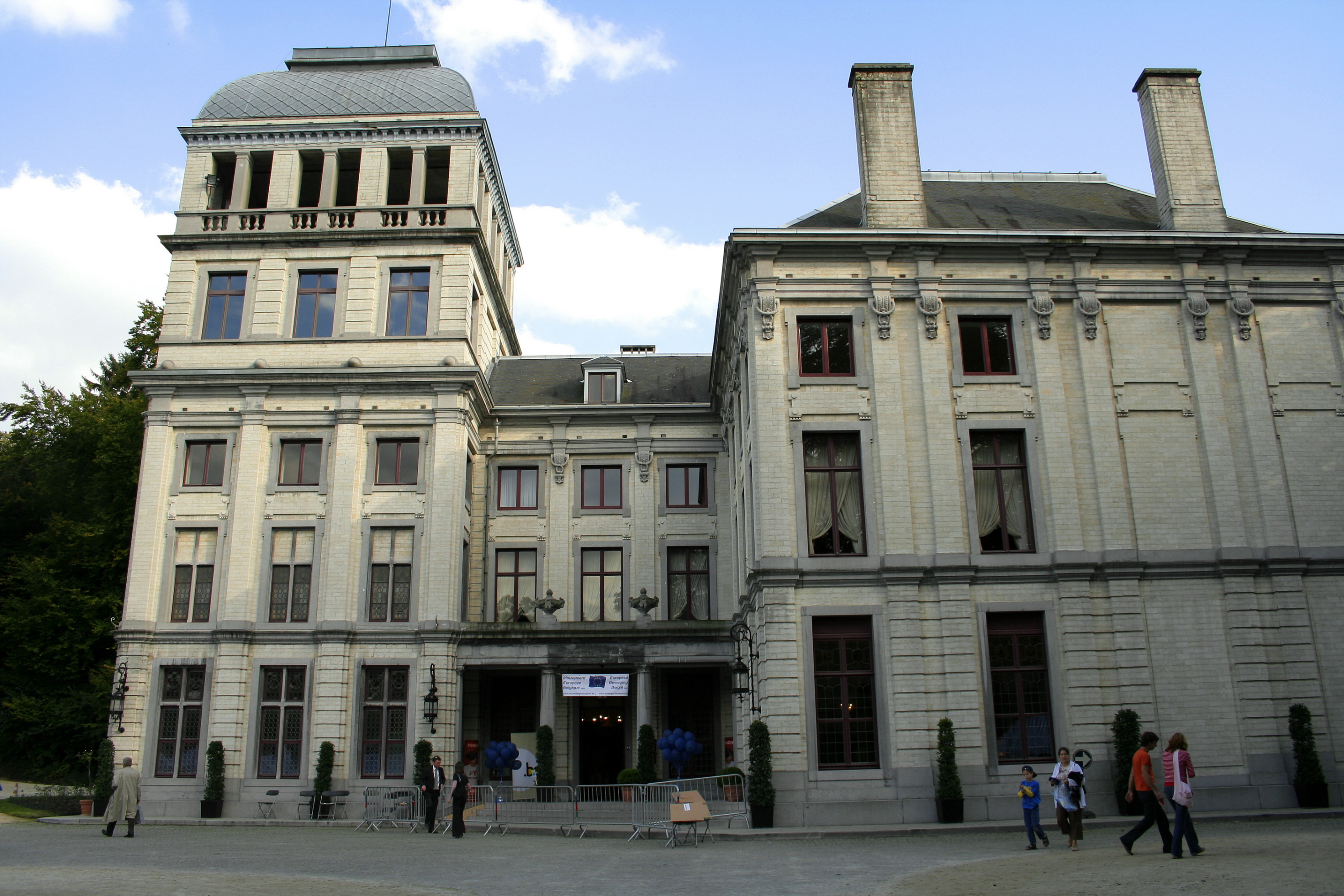
 The Castle of the Valley of the Duchess (Val Duchesse).
The Priory of Val Duchesse or Hertoginnedal, a gift of the king, is unfortunately rarely open to the public. In 1963, Belgium's cabinet ministers met here, planting the seeds of a federalization of the country though at conditions fiercely criticised especially in some extremist Flemish nationalist circles.
Similarly, the Chapel of Saint Anne, whose origins go back to the 12th century, is not open to the public. Decommissioned in 1843, it was sold several times. Its splendid sculptures from the Middle Ages and notable period furniture are still there to admire.
The municipality offers many green spaces.
See also
- Municipalities of the Brussels-Capital Region
References
- ^ Population per municipality on 1 January 2010 (XLS; 221 KB)
External links
- Official site of the Municipality of Auderghem (in French)
- Official site of the Municipality of Oudergem (in Dutch)
 Brussels topicsHistory
- Fortifications
- 1695 bombardment
- 1746 siege
- Duchess of Richmond's ball
- Covering of the Senne
- Frenchification
- Expo 1897
- Liège International (1905)
- Expo 1910
- Expo 1958
- L'Innovation Department Store fire
- Heysel Stadium disaster
 Administration
- Government (Minister-President)
- Parliament
- Governor
Transport- Metro
- Brussels Airport
- Charleroi Airport
- North-South connection
- Trams
- Brussels Ring
- Small Ring
Other topicsLists- Buildings
- Notable persons
- Museums
- Railway stations
- Underground stations
Categories:- Municipalities of the Brussels-Capital Region


Wikimedia Foundation. 2010.