- Koekelberg
Infobox Belgium Municipality
name=Koekelberg
picture=BasKoek.jpg
picture-width= 260px
picture-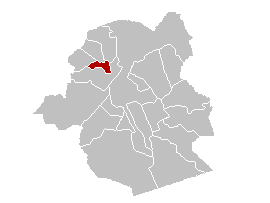
map-
arms=Koekelberg arms.gif
flag_link=Symbols of Brussels#Municipalities
arms_link=Symbols of Brussels#Municipalities
region=BE-REG-BRU
community=BE-FR
BE-NL
province=
arrondissement=Brussels
nis=21011
pyramid-date=
0-19=
20-64=
65=
foreigners=
foreigners-date=
mayor=
majority=
postal-codes=1081
telephone-area=02
web= [http://www.koekelberg.be/ www.koekelberg.be]
lat_deg=50
lat_min=52
lon_deg=04
lon_min=20Koekelberg is one of the nineteen municipalities located in the
Brussels-Capital Region ofBelgium . OnJanuary 1 2006 the municipality had a total population of 18,157. The total area is 1.17 km² which gives apopulation density of 15,486 inhabitants per km².See also
*Basilica of the Sacred Heart or Koekelberg Basilica
External links
* [http://www.koekelberg.irisnet.be/ Official site] (in French and Dutch)


Wikimedia Foundation. 2010.