- North Bay (San Francisco Bay Area)
-
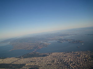
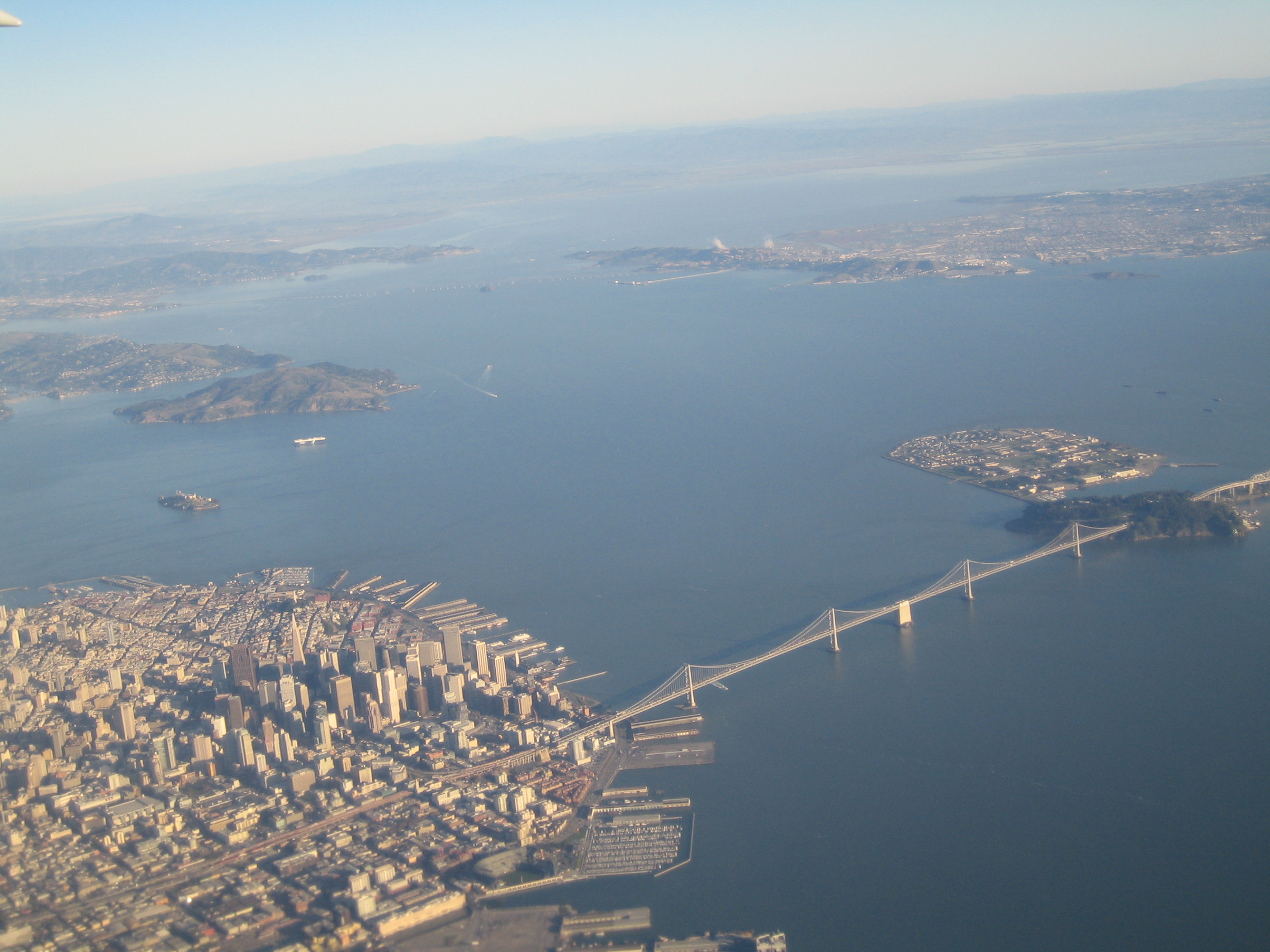
 San Francisco is in the foreground in this picture looking north. San Pablo Bay continues north surrounded by parts of (left to right) Marin, Sonoma, Napa and Solano Counties.
The North Bay is a subregion of the San Francisco Bay Area, in California, United States. The largest city is Santa Rosa. It is by far the least populous and least urbanized part of the Bay Area. It consists of Marin, Sonoma, and Napa counties.
Contents
Transportation
The North Bay is connected to San Francisco by the Golden Gate Bridge and to the East Bay by the Richmond-San Rafael Bridge (usually called either the Richmond Bridge or San Rafael Bridge), and the Carquinez Bridge, which crosses the San Pablo Bay between Benicia and Martinez. Several ferry routes operate between the North Bay and San Francisco, from terminals located in Sausalito, Tiburon, Larkspur, and Angel Island. Commuter rail service from Fairfield to Sacramento and Oakland is provided by Amtrak on its Capitol Corridor (Amtrak) line.
Plans for the development of the Sonoma Marin Area Rail Transit, a fourteen station commuter rail line from Larkspur to Cloverdale were approved by voters in November 2008.[1]
History
The area is said to have been covered by Pomo Native Americans before European intervention. The Russians first settled the area at Fort Ross as a fur-trading post, but the area was later settled by the Spanish-Mexican Alta California. The Bear Flag Revolt took place in the town of Sonoma, which is also the location of the last of the California Missions. General Mariano Vallejo, the last secretary to the Governor of California before its annexation to the United States, kept his home in Sonoma; his ranch, now a National Historic Location, was located in nearby Petaluma.
The North Bay remained isolated and rural well into the 20th Century. The opening of the Golden Gate Bridge in the 1930s transformed Marin County from a dairy farming region into an upscale suburban area. Until the 1990s, the region's growth was at a gradual pace, with significant restrictions on development being imposed in Marin and Napa Counties in the 1970s. (Future Senator Barbara Boxer was an important figure in the North Bay's open space preservation movement.)
Major cities
The largest city in the North Bay is Santa Rosa. Other major cities include:
References
- ^ "North bay voters back commuter rail — finally". San Francisco business Times. Wednesday, November 5, 2008. http://sanfrancisco.bizjournals.com/sanfrancisco/stories/2008/11/03/daily74.html. Retrieved 2009-01-10.
Categories:- Subregions of the San Francisco Bay Area
- Proposed public transportation in the San Francisco Bay Area

Wikimedia Foundation. 2010.