- Diefenbaker Management Area
Infobox Settlement
official_name = Diefenbaker Management Area
other_name =
native_name =
nickname =
settlement_type = Neighborhood
motto =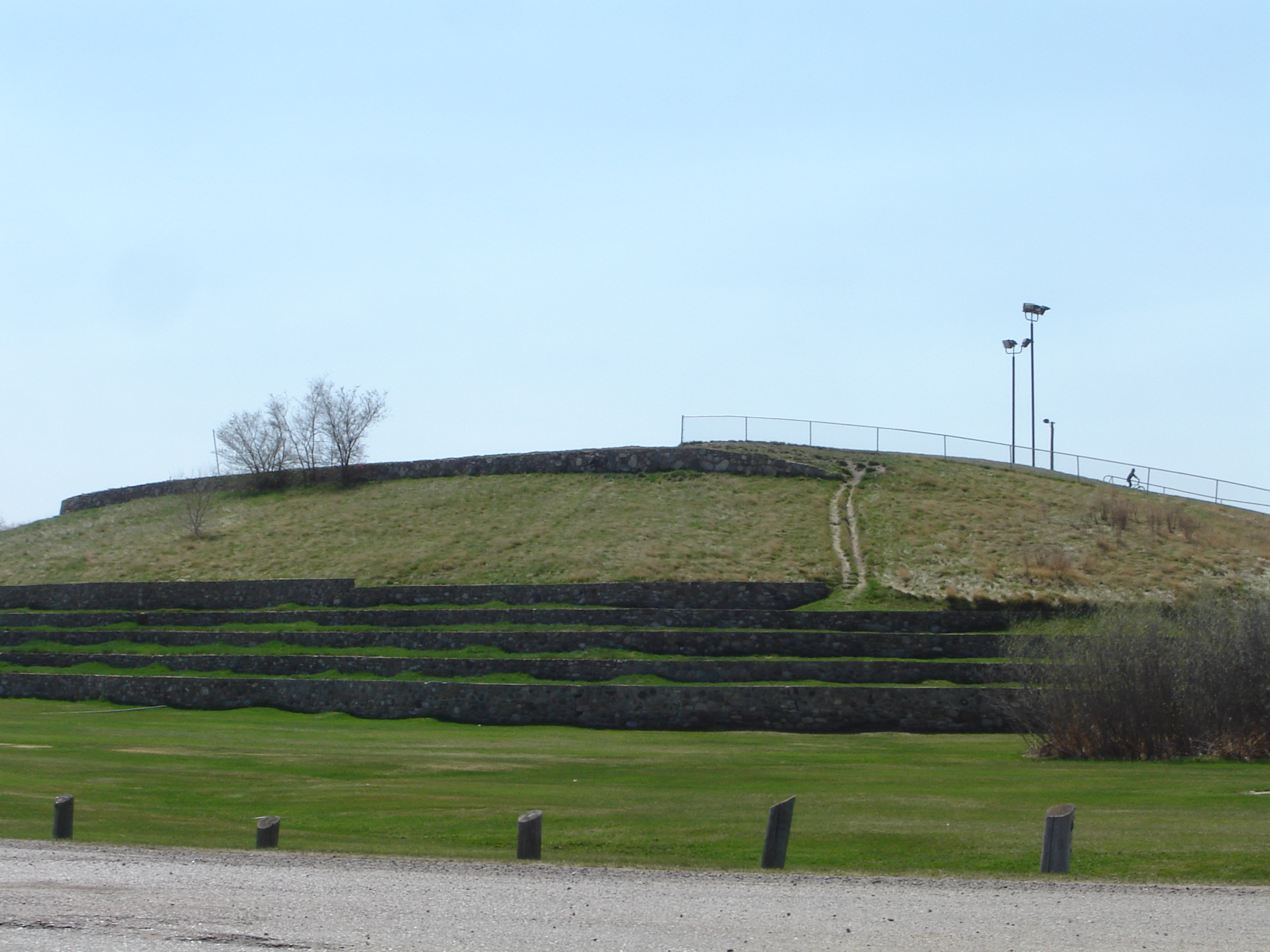
imagesize =
image_caption = Diefenbaker Hill in Diefenbaker Park
flag_size =
image_
seal_size =
image_shield =
shield_size =
city_logo =
citylogo_size =
mapsize =
map_caption =
mapsize1 =
map_caption1 =
image_dot_
dot_mapsize =
dot_map_caption =
dot_x = |dot_y =
pushpin_
pushpin_label_position =
pushpin_map_caption =
pushpin_mapsize =
subdivision_type = Country
subdivision_name = CAN
subdivision_type1 = Province
subdivision_name1 = SK
subdivision_type2 = City
subdivision_name2 = Saskatoon
subdivision_type3 = Suburban Development Area
subdivision_name3 = Nutana
subdivision_type4 = Management Area
subdivision_name4 = Diefenbaker Management Area
government_footnotes =
government_type = Municipal (Ward 7)
leader_title = Administrative body
leader_name =Saskatoon City Council
leader_title1 = Councillor
leader_name1 = Bob Pringle
leader_title2 =
leader_name2 =
leader_title3 =
leader_name3 =
leader_title4 =
leader_name4 =
established_title = Annexed
established_date =
established_title2 = Construction
established_date2 =
established_title3 =
established_date3 =
area_magnitude =
unit_pref =
area_footnotes =
area_total_km2 =
area_land_km2 =
area_water_km2 =
area_total_sq_mi =
area_land_sq_mi =
area_water_sq_mi =
area_water_percent =
area_urban_km2 =
area_urban_sq_mi =
area_metro_km2 =
area_metro_sq_mi =
population_as_of = 2006
population_footnotes =
population_note =
population_total =
population_density_km2 =
population_density_sq_mi =
population_metro =
population_density_metro_km2 =
population_density_metro_sq_mi =
population_urban =
population_density_urban_km2 =
population_density_urban_sq_mi =
population_blank1_title = Average Income
population_blank1 = $
population_density_blank1_km2 =
population_density_blank1_sq_mi =
timezone = UTC
utc_offset = -6
timezone_DST =
utc_offset_DST =
latd=52 |latm= 5|lats=48 |latNS=N
longd= 106|longm= 41|longs= 18|longEW=W
elevation_footnotes =
elevation_m =
elevation_ft =
postal_code_type =
postal_code =
area_code =
blank_name =
blank_info =
blank1_name =
blank1_info =
website = [http://www.city.saskatoon.sk.ca/org/leisure/community_associations/your_association.asp?ca=14 Exhibition Community Association]
footnotes = City of Saskatoon NeighborhoodsTo the east of the Exhibition subdivision is the
Diefenbaker Management Area which boasts the Diefenbaker park and Pioneer Cemetery. The park includes a medium-sized hill which is used for tobogganing and snowboarding, and the park itself is a frequently-used venue for picnics and public events and performances. A Management Area (MA)is a term used to classify areas that are generally not covered by residential, industrial or future development characteristics.History
The Pioneer Cemetery received its first internment in 1884. On June 20, 1905 the Nutana Cemetery Co was awarded a special grant at SW Section 20 Township 36 Range 5 W of the 3rd Meridian. The Pioneer Cemetery was also called the Nutana Cemetery, and was the first municipal cemetery for the City of Saskatoon until 1910 when Woodlawn Cemetery became the city cemetery. The Pioneer Cemetery has been declared a heritage site as of 1982. [ [http://www.sfn.saskatoon.sk.ca/arts/heritage/desig/nutana.cemetery.html Saskatoon Heritage Society - PIONEER CEMETERY] URL accessed March 3, 2007] Exhibition, Saskatoon, Saskatchewan is at coordinates coord|52.103611|-106.673333|type:landmark_region:CA|display=inline,title [ [http://data2.collectionscanada.ca/e/e121/e003016638.jpgSW 20 36 5 W3] URL accessed March 3, 2007] [ [http://data2.collectionscanada.ca/e/e121/e003016639.jpgNutana Cemetery Co The ] URL accessed March 3, 2007]
Location
[ [http://www.city.saskatoon.sk.ca/org/city_planning/resources/publications/Future_Growth_and_Development_of_Saskatoon.pdf Selling an Idea or a Product] URL accessed January 27, 2007]North South Saskatchewan River West: South Saskatchewan River Diefenbaker Management Area East: Exhibition | South: Saskatoon Golf and Country Club, Corman Park No. 344 References
External links
* [http://www.city.saskatoon.sk.ca/org/city_planning/resources/neighbourhood_demographics/buena_vista.pdf Saskatoon Neighborhoods Word Search Puzzle]
* [http://www.city.saskatoon.sk.ca/org/leisure/community_associations/your_association.asp?ca=37 City of Saskatoon · Departments · Community Services · Community ... ]
* [http://www.saskatoon.ca/org/city_planning/zam_maps/index.asp City of Saskatoon City of Saskatoon · Departments · Community Services · City Planning · ZAM Maps]
* [http://www.saskatoon.ca/org/city_planning/resources/populace_newsletter/Populace_Spring_2006.pdf Populace Spring 2006]
Wikimedia Foundation. 2010.