- Manandroy
-
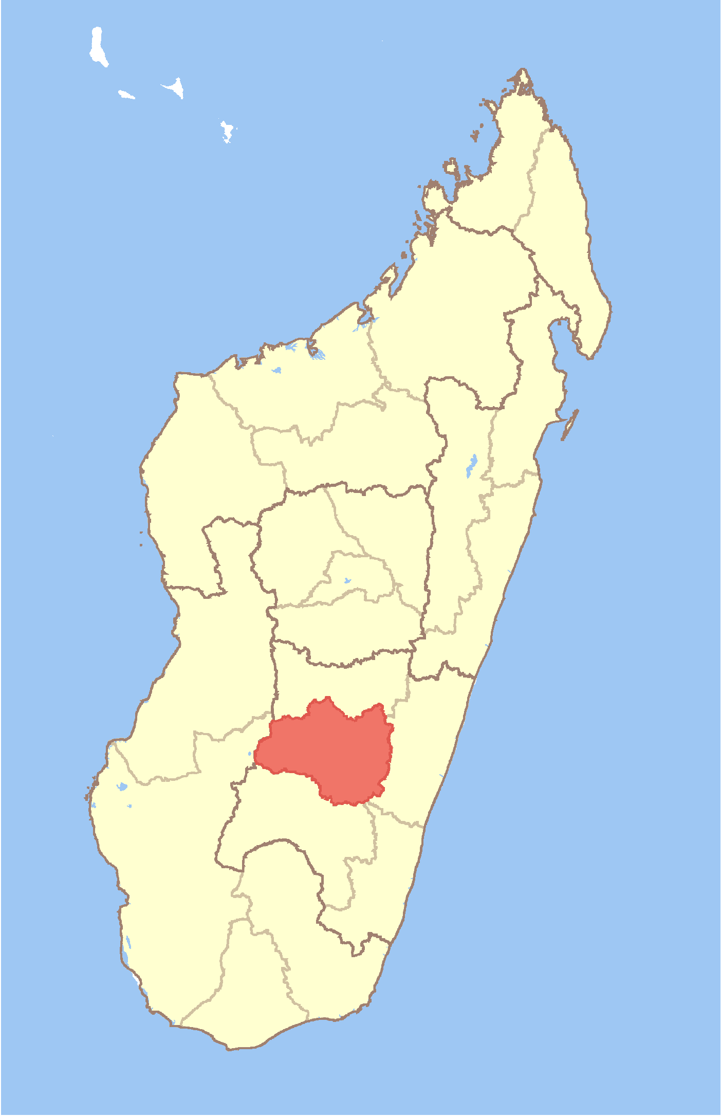
Manandroy Location in Madagascar
 Manandroy
Coordinates: 21°8′S 47°16′E / 21.133°S 47.267°E Country  Madagascar
Region Haute Matsiatra District Ambohimahasoa Elevation[1] 1,218 m (3,996 ft) Population (2001)[2] – Total 11,000 Time zone EAT (UTC3) Manandroy is a town and commune in Madagascar. It belongs to the district of Ambohimahasoa, which is a part of Haute Matsiatra Region. The population of the commune was estimated to be approximately 11,000 in 2001 commune census.[2]
Primary and junior level secondary education are available in town. The majority 97% of the population of the commune are farmers. The most important crops are rice and beans, while other important agricultural products are peanuts, cassava, sweet potatos and bambara groundnut. Services provide employment for 3% of the population.[2]
References and notes
- ^ Estimated based on DEM data from Shuttle Radar Topography Mission
- ^ a b c "ILO census data". Cornell University. 2002. http://www.ilo.cornell.edu/ilo/data.html. Retrieved 2008-05-01.

This Haute Matsiatra location article is a stub. You can help Wikipedia by expanding it. Categories:- Haute Matsiatra geography stubs
- Populated places in Haute Matsiatra
Wikimedia Foundation. 2010.
Look at other dictionaries:
Manandroy — 21° 08′ 08″ S 47° 16′ 00″ E / 21.1355, 47.266667 … Wikipédia en Français
Mahazony — Mahazony … Wikipedia
Manamisoa — Manamisoa … Wikipedia
Miarinarivo, Ambalavao — Miarinarivo … Wikipedia
Morafeno, Ambohimahasoa — Morafeno … Wikipedia
Mahaditra — Mahaditra … Wikipedia
Mahasoabe, Fianarantsoa II — Mahasoabe … Wikipedia
Mahatsinjony — Mahatsinjony … Wikipedia
Mahazoarivo, Fianarantsoa II — Mahazoarivo … Wikipedia
Maneva — Maneva … Wikipedia
 18+© Academic, 2000-2025
- Contact us: Technical Support, Advertising
Dictionaries export, created on PHP, Joomla, Drupal, WordPress, MODx.