- Sesvenna Range
Geobox|Range
name=Sesvenna Range
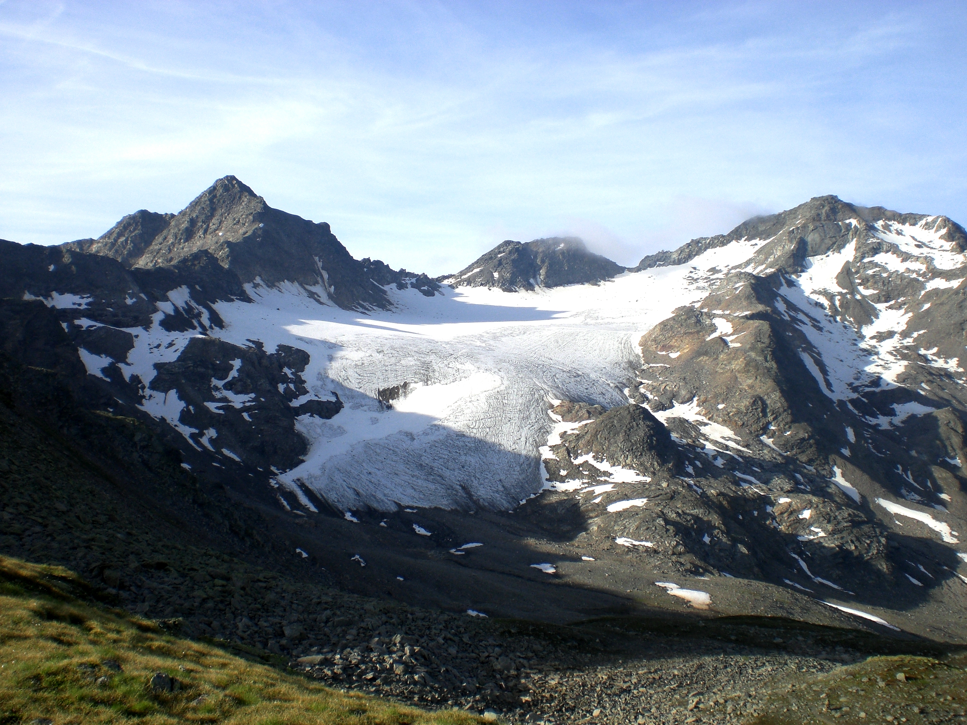
image_caption=Piz Sesvenna (right)
country=Switzerland |country1=Italy |country2=Austria
state=Graubünden | state1=Trentino-Alto Adige/Südtirol |state2=Tyrol (state)
parent=Central Eastern Alps
border=| border1=|border2=
area= | length= | length_orientation=
width= | width_orientation=
highest=Piz Sesvenna
highest_elevation=3221
highest_lat_d=46|highest_lat_m=42|highest_lat_s=21|highest_lat_NS=N
highest_long_d=10|highest_long_m=24|highest_long_s=10|highest_long_EW=E

map_caption=Location of the Sesvenna RangeThe Sesvenna Range is amountain range in theAlps of easternSwitzerland , northernItaly and westernAustria . It is considered to be part of theCentral Eastern Alps .The Sesvenna Range is separated from the
Silvretta Group in the north and theAlbula Range in the west by the LowerEngadin valley; from theLivigno Range in the south-west by theOfen Pass andVal Müstair ; from theÖtztal Alps in the east by the upperAdige valley and theReschen Pass .The Sesvenna Range is drained by the rivers Inn and
Adige .Peaks
The main peaks of the Sesvenna Range are:
Passes
The main passes of the Sesvenna Range are:
Mountain pass location type Elevation (m/ft) Cruschetta Pass Scuol toTaufers im Münstertal-Tubre bridle path 2316 7599 Passo di Slingia Ramosch toMals-Malles Venosta foot path 2298 7540 Scarl Pass S-charl toVal Müstair bridle path 2251 7386 Ofen Pass Zernez to Val Müstairroad 2155 7071 Gallery
ee also
*
Swiss Alps
Wikimedia Foundation. 2010.