Livigno Range

Livigno Range

Geobox|Range
name=Livigno Range


image_caption=View from the "Munt la Schera" mountain to the "Lago di Livigno" reservoir
country=Switzerland |country1=Italy
state=Graubünden | state1=Lombardy
parent=Central Eastern Alps
border=| border1=|border2=
area= | length= | length_orientation=
width= | width_orientation=
highest=Cima de' Piazzi
highest_elevation=3439
highest_lat_d=46|highest_lat_m=31|highest_lat_s=4|highest_lat_NS=N
highest_long_d=10|highest_long_m=5|highest_long_s=43|highest_long_EW=E


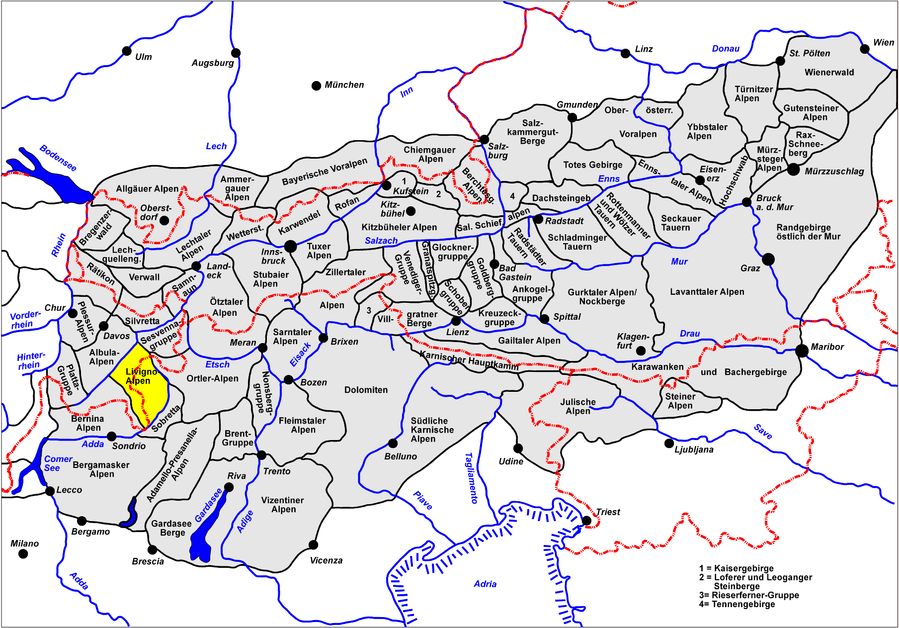
map_caption=Location of the Livigno RangeThe Livigno Range is a mountain range in the Alps of eastern Switzerland and northern Italy, around the Italian village Livigno. It is considered to be part of the Central Eastern Alps.

The Livigno Range is separated from the Bernina Range in the south-west by the Bernina Pass; from the Albula Range in the north-west by the Upper Engadin valley; from the Sesvenna Range in the north-east by the Ofen Pass and Val Müstair; from the Ortler Alps in the east by the upper Adda River valley (Valtellina) and the Stelvio Pass.

The Livigno Range is drained by the rivers Adda River, Inn and
Rom (tributary of the Adige).

Peaks

The main peaks of the Livigno Range are:

Passes

The main passes of the Livigno Range are:

Mountain pass locationtype Elevation (m / ft)
Passo di Dosde Val Grosina to Val Viola Bormina foot path 2850 9351
Passo di Sacco Bernina road to Grosio foot path 2751 9026
Chaschauna Pass S-chanf to Livigno bridle path 2692 8832
Umbrail Pass (Giogo di Santa Maria) Val Müstair to the Stelvio Pass road road 2512 8242
Passo di Val Viola Bernina road to Bormio bridle path 2431 7976
Giufplan Pass Ofen road to Val Fraele bridle path 2354 7723
Bernina PassPontresina to Tirano road 2330 7645
Forcola di Livigno Bernina Pass to Livigno road 2328 7638
Passo di Verva Bormio to Grosio foot path 2314 7592
Foscagno Pass Bormio to Trepalle road 2291 7517
Alpisella Pass Livigno to Val Fraele bridle path 2285 7497
Dossradond Pass Val Müstair to Val Fraele bridle path 2240 7349
Passo d'Eira Livigno to Trepalleroad 2209 7248
Ofen Pass Zernez to Val Müstair road 2155 7071
Fraele Pass Val Fraele to the Ofen Pass road bridle path 1950 6398
Scale di Fraele Bormio to Val Fraele dirt road 1942 6372

ee also

*Swiss Alps


Wikimedia Foundation. 2010.

Игры ⚽ Поможем решить контрольную работу

Look at other dictionaries:

  • Livigno Pass — Infobox Mountain Pass Name = Livigno Pass Photo = Forcola di Livigno CH.jpg Caption = Livigno Pass Elevation = 2315 m. Location = SUI / ITA Range = Alps Coordinates = coord|46.4425|N|10.057|E|region:CH/IT type:pass|display=inline,title… …   Wikipedia

  • Bernina Range — Geobox|Range name=Bernina Range image caption=The main summits of the Bernina range above the Morteratsch Glacier country=Switzerland |country1=Italy state= | state1= parent=Central Eastern Alps border=| border1=|border2= area= | length= | length …   Wikipedia

  • Sesvenna Range — Geobox|Range name=Sesvenna Range image caption=Piz Sesvenna (right) country=Switzerland |country1=Italy |country2=Austria state=Graubünden | state1=Trentino Alto Adige/Südtirol |state2=Tyrol (state) parent=Central Eastern Alps border=|… …   Wikipedia

  • Oberhalbstein Range — Range Piz Platta Countries …   Wikipedia

  • Ortler Alps — German: Ortler Alpen Italian: Gruppo dell Ortles Cevedale Range …   Wikipedia

  • Central Eastern Alps — Range Venediger group of the Hohe Tauern …   Wikipedia

  • Piz Albris — Infobox Mountain Name = Piz Albris Photo = Elevation = convert|3166|m|ft|0 Location = Switzerland Range = Livigno Range Prominence= Coordinates = coord|46|27|50|N|9|57|49|E|region:CH type:mountain|display=inline,title Topographic Type = | Age =… …   Wikipedia

  • Piz Trevisina — Infobox Mountain Name = Piz Trevisina Photo = Caption = Elevation = convert|2823|m|ft|0|lk=on Location = SUI, ITA Range = Livigno Range Prominence= Coordinates = coord|46|18|4.2|N|10|8|17|E|type:mountain region:CH|display=inline,title First… …   Wikipedia

  • Piz Sena — Infobox Mountain Name = Piz Sena Photo = Caption = Elevation = convert|3075|m|ft|0|lk=on Location = SUI, ITA Range = Livigno Range Prominence= Coordinates = coord|46|21|11.5|N|10|6|35|E|type:mountain region:CH|display=inline,title First ascent =… …   Wikipedia

  • Piz dal Teo — Infobox Mountain Name = Piz dal Teo Photo = Caption = Elevation = convert|3049|m|ft|0|lk=on Location = SUI, ITA Range = Livigno Range Prominence= Coordinates = coord|46|22|11.2|N|10|7|34.2|E|type:mountain region:CH|display=inline,title First… …   Wikipedia

Share the article and excerpts

Direct link
Do a right-click on the link above
and select “Copy Link”