- Dickens, Nebraska
-
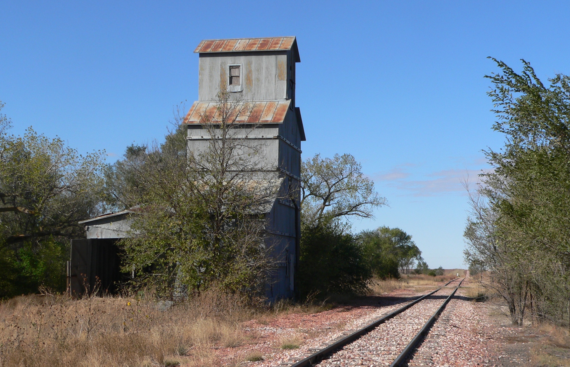
Dickens, Nebraska — Unincorporated community — Abandoned grain elevator in Dickens Location within the state of Nebraska
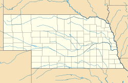
 Dickens, Nebraska
Coordinates: 40°49′34″N 100°59′35″W / 40.82611°N 100.99306°WCoordinates: 40°49′34″N 100°59′35″W / 40.82611°N 100.99306°W Country United States State Nebraska County Lincoln Elevation 3,136 ft (956 m) Time zone Central (CST) (UTC-6) – Summer (DST) CDT (UTC-5) ZIP codes 69132 FIPS code GNIS feature ID 835287 Dickens is an unincorporated community in southwestern Lincoln County, Nebraska, United States. It lies along Nebraska Highway 23 southwest of the city of North Platte, the county seat of Lincoln County.[1] Its elevation is 3,136 feet (956 m). The community is named for Charles Dickens.[2] Although Dickens is unincorporated, it has a post office, with the ZIP code of 69132.[3]
References
- ^ Rand McNally. The Road Atlas '08. Chicago: Rand McNally, 2008, p. 62.
- ^ U.S. Geological Survey Geographic Names Information System: Dickens, Nebraska, Geographic Names Information System, 1979-03-09. Accessed 2008-04-26.
- ^ http://zip4.usps.com/zip4/citytown.jsp USPS Zip Code Lookup
Municipalities and communities of Lincoln County, Nebraska City 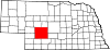
Villages Unincorporated
communityDickens
Categories:- Nebraska geography stubs
- Charles Dickens
- Populated places in Lincoln County, Nebraska
- Unincorporated communities in Nebraska

Wikimedia Foundation. 2010.