- RAF Trimingham
Geobox|Military Installation
name = RAF Trimingham
category = Radar Station

image_caption = RAF Trimingham Early warning station

symbol =
country =England
state =Norfolk
region =East of England
district =North Norfolk
municipality =Trimingham
location = Cliff top,
on the coast road
elevation =
prominence =
lat_d =
lat_m =
lat_s =
lat_NS =
long_d =
long_m =
long_s =
long_EW =
length =
length_orientation =
width =
width_orientation =
height =
depth =
volume =
area =
author =
style =
material = Type 93
Kevlon dome
established =1941
date =
owner =
public =
visitation =
visitation_date =
free = | free_type =
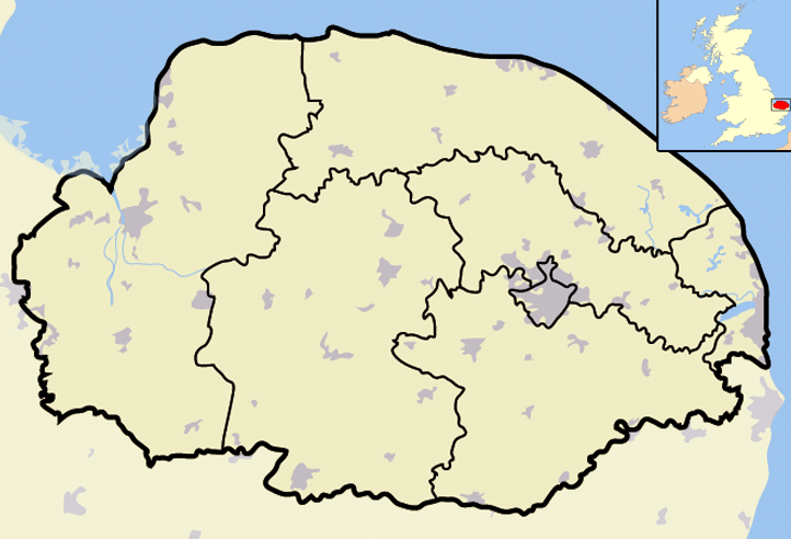
map_caption =RAF Trimingham withinNorfolk
map_background =
map_locator =
map_locator_x =75
map_locator_y =10
website =
footnotes = Map Ref: TG289382RAF Trimingham is a type 93 Radar station situated on the coast in the english county of
Norfolk [ "OS Explorer map 25” (Edition A 1997) – “Norfolk Coast East". ISBN 0-319-21727-2.] . The base is on the coast road betweenCromer andMundesley , 1000 meters east of the village ofTrimingham . The Radar base is a satellite station ofRAF Neatishead .This Radar station is controlled and maintained by a section of Radar Technicians and Operators and supported by a team of Ground Engineers. Trimingham provides extensive coverage of the East coast of the United Kingdom and helps contribute to the recognized air picture and defense of the country. The type 93 became operational on the site in April 1997.History
The Radar station was established on the cliff top at Trimingham by the British Army in the latter part of 1941 [ [http://www.subbrit.org.uk/rsg/sites/t/trimingham/index.html] RAF Trimingham Timeline] . It was used to detect German E-Boats and low flying aircraft and was then equipped with a CD Mk.4 radar. The station also operated as an Oboe Navigation Station. Oboe worked using two stations at different and well-separated locations in
England to transmit a signal to a Mosquito Pathfinderbomber carrying a radio transponder. The transponder reflected the signals, which were then received by the two stations. The round-trip time of each signal gave the distance to the bombers and guided them to there target.In April 1942 [ [http://www.subbrit.org.uk/rsg/sites/t/trimingham/index.html] RAF Trimingham Timeline] Trimingham was transferred from the authority of the
War Office over to theAir Ministry . The base had now been installed with a Type 54 radar on a 200 foot tower. The operating system was known as a Chain Home Extra Low (CHEL)/CD station. By 1945 the 'Oboe' equipment had been removed and In 1947 Trimingham was placed in the Northern Signals Area under 90 Group. Between 1948 and 1949 the base was placed in care and maintenance. In January 1949 the base was once again activated and in 1950 was renamed 432 Signals Unit. In June 1950 RAF Trimingham was selected to be a Centimetric Early Warning Station (CEW). Between this event and 1961 the radar station had various systems installed at the site and operated constantly as the eyes and ears of the UK’s early warning systems until February 1964 when the base was mothballed. By 1965 the station had been largely dismantled and all the radar arrays had been removed apart from the Type 54 behind Beacon Hill Cottage but that had been removed by 1972.1981 to date
In 1981 [ [http://www.subbrit.org.uk/rsg/sites/t/trimingham/index.html] RAF Trimingham Timeline] the RAF Trmingham was closed and the site had been sold and the guardhouse converted into a private house, but by the latter part of the 1980’s the now Ministry of Defence decided to repurchase the site. The RAF installed a Marconi Type 91 'Martello' radar operated by 432 Signals Unit acting as a Ready Platform (along with RAF Hopton and RAF Weybourne) for the UKADGE Series II (United Kingdom Air Defence Ground Environment) Radar System controlled from the R3 underground control centre at RAF Neatishead. The guardhouse was converted into staff accommodation and offices and basic mess facilities. In May 1987 the
Marconi Type 91 'Martello' radar at Trimingham was sold to the Turkish Ministry of Defence and it was replaced by a Type 93 (Plessey type ADGE-305, NATO designation TGRI 50011) that had been moved fromHopton when that base was closed. The Type 93 was originally a mobile installation, but at Trimingham it was fixed to a permanent mounting with a Kevlon dome composed of irregular polygons erected around it and became known locally as the Trimingham golf ball Todaythe Type 93 is still operational and feeds constant data back to the Control and Reporting Centres (CRC's) at RAF Boulmer in Northumberland andRAF Scampton in Lincolnshire.RAF Neatishead has now been downgraded to a remote radar head which is actually at Trimingham. Neatishead only being retained as the circuits from Trimingham pass through Neatishead [ [http://www.raf.mod.uk/rafneatishead/aboutus/history.cfm] Neatishead History including Trimingham]Controversy
In November 2006 the station became involved in controversy when local motorist on the coast road blamed the station for causing car engines and lights to cut out [ [http://www.telegraph.co.uk/news/main.jhtml?xml=/news/2006/02/21/nfused21.xml&sSheet=/news/2006/02/21/ixhome.html] Telegraph report ] .
Speedometer dials swung up to 150mph as motorists drove past, and a local garage owner who runs the nearest garage atMundesley , said he had dealt with 30 calls over a couple of months. Eventually the Ministry of Defence admitted that the Type 93 radar spinning inside the dome had been out of alignment between November 2005 and February 2006, Having previously denied problems, the MoD said it would consider claims for compensation after an inquiry found the radar was "out of alignment".References

Wikimedia Foundation. 2010.