- Coplow Dale
-
Coordinates: 53°18′N 1°46′W / 53.30°N 1.76°W
Coplow Dale 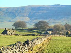
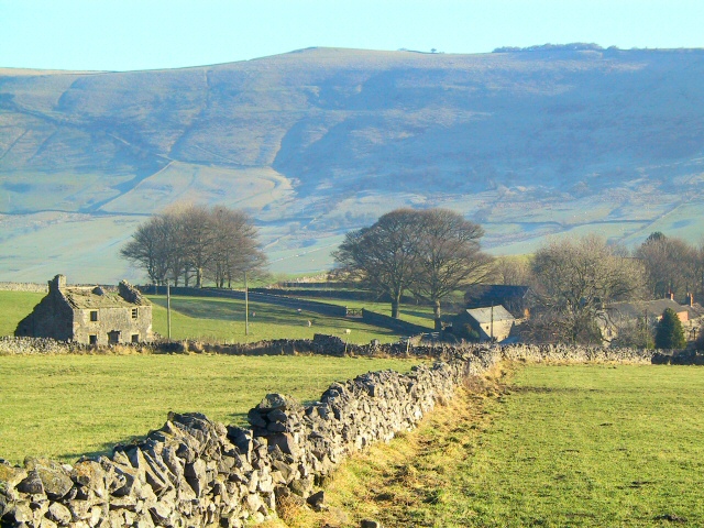
Coplow Dale.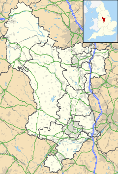
 Coplow Dale
Coplow Dale shown within DerbyshireOS grid reference SK1679 Shire county Derbyshire Region East Midlands Country England Sovereign state United Kingdom Police Derbyshire Fire Derbyshire Ambulance East Midlands EU Parliament East Midlands List of places: UK • England • Derbyshire Coplow Dale (or Coplowdale) is a small settlement in the civil parish of Little Hucklow, Derbyshire, England.
External links
Categories:- Derbyshire geography stubs
- Hamlets in Derbyshire

Wikimedia Foundation. 2010.