- Sophia, West Virginia
Infobox Settlement
official_name = Sophia, West Virginia
settlement_type =Town
nickname =
motto =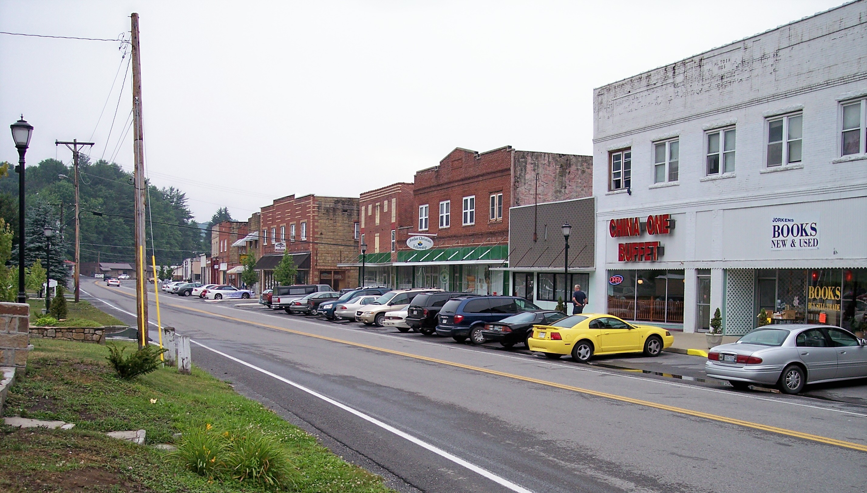
imagesize =
image_caption = Main Street (West Virginia Route 16 ) in Sophia in 2007
image_
mapsize = 250x200px
map_caption = Location of Sophia, West Virginia
mapsize1 =
map_caption1 =subdivision_type = Country
subdivision_name =United States
subdivision_type1 = State
subdivision_name1 =West Virginia
subdivision_type2 = County
subdivision_name2 = Raleighgovernment_footnotes =
government_type =
leader_title =
leader_name =
leader_title1 =
leader_name1 =
established_title =
established_date =area_footnotes =
area_magnitude =
area_total_km2 = 1.8
area_land_km2 = 1.8
area_water_km2 = 0.0
area_total_sq_mi = 0.7
area_land_sq_mi = 0.7
area_water_sq_mi = 0.0population_as_of = 2000
population_footnotes =
population_total = 1301
population_density_km2 = 734.6
population_density_sq_mi = 1902.5timezone = Eastern (EST)
utc_offset = -5
timezone_DST = EDT
utc_offset_DST = -4
elevation_footnotes =
elevation_m = 707
elevation_ft = 2320
latd = 37 |latm = 42 |lats = 51 |latNS = N
longd = 81 |longm = 15 |longs = 2 |longEW = Wpostal_code_type =
ZIP code
postal_code = 25921
area_code = 304
blank_name = FIPS code
blank_info = 54-75172GR|2
blank1_name = GNIS feature ID
blank1_info = 1555660GR|3
website =
footnotes =Sophia is an incorporated town in Raleigh County,
West Virginia ,United States . It was incorporated in 1912. The population was 1,301 at the 2000 census. Sophia is the hometown of U.S. SenatorRobert C. Byrd .As of 2007 , the mayor of Sophia is Harry Taylor. [cite news |first= Kate |last= Krivanek |title= People in Sophia Push for More of a Voice |url= http://wowktv.com/story.cfm?func=viewstory&storyid=13833&catid=113& |publisher=WOWK-TV |date= 2006-09-06 |accessdate= 2007-07-16]In Winter of 2006, Taylor allowed Independence High School senior Brett Hatfield to become "Mayor for the day" for his senior project. In this event, Hatfield became a fifth generation mayor of the town, as a great-great-great-great grandfather of his was the very first mayor of the town. The event was covered twice in local newspaper, The Register-Herald. [cite news |first= Kathy |last= Zirckel |title= Indy Senior Becomes Mayor For A Day|url= http://a739.ac-images.myspacecdn.com/images01/23/l_cc2fcc22f9036ff3840b0dc0a7e0cfaa.jpg|publisher=
The Register-Herald |date= 2006-12-26 |accessdate= 2007-08-06] In his brief time in office, Hatfield created a brand new logo for the town.The town is also home to the week long Community Gospel Nights festival, which was started in 2005. The festival is a 5 night event full of music, preaching, and prayer. The festival has been a hit since its first year.
Geography
Sophia is located at coor dms|37|42|51|N|81|15|2|W|city (37.714197, -81.250659)GR|1.
According to the
United States Census Bureau , the town has a total area of 1.8km² (0.7 mi²), all land.Demographics
As of the
census GR|2 of 2000, there were 1,301 people, 588 households, and 386 families residing in the town. Thepopulation density was 738.7/km² (1,902.5/mi²). There were 643 housing units at an average density of 365.1/km² (940.3/mi²). The racial makeup of the town was 96.62% White, 1.15% African American, 0.31% Native American, 0.54% Asian, 0.15% from other races, and 1.23% from two or more races. Hispanic or Latino of any race were 0.61% of the population.There were 588 households out of which 26.2% had children under the age of 18 living with them, 45.1% were married couples living together, 17.2% had a female householder with no husband present, and 34.2% were non-families. 31.3% of all households were made up of individuals and 15.1% had someone living alone who was 65 years of age or older. The average household size was 2.21 and the average family size was 2.75.
In the town the population was spread out with 21.5% under the age of 18, 7.8% from 18 to 24, 27.8% from 25 to 44, 26.6% from 45 to 64, and 16.2% who were 65 years of age or older. The median age was 41 years. For every 100 females there were 82.7 males. For every 100 females age 18 and over, there were 76.3 males.
The median income for a household in the town was $26,008, and the median income for a family was $31,200. Males had a median income of $30,875 versus $17,273 for females. The
per capita income for the town was $15,296. About 22.1% of families and 23.6% of the population were below thepoverty line , including 41.9% of those under age 18 and 15.1% of those age 65 or over.References
External links
Wikimedia Foundation. 2010.