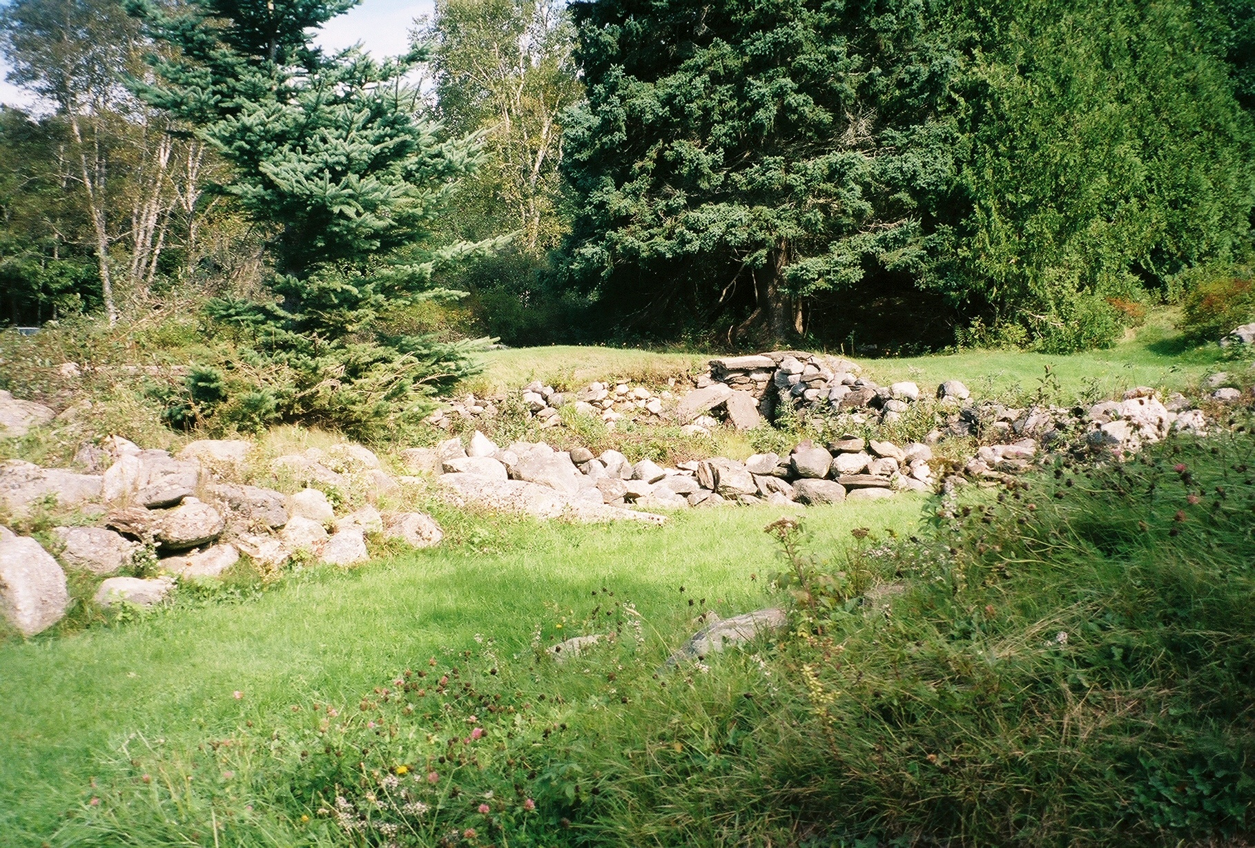
- Fort Pownall Memorial
Infobox_nrhp | name =Fort Pownall Memorial
nrhp_type =

caption = Ruins of Fort Pownall
nearest_city=Stockton Springs, Maine
lat_degrees = 44
lat_minutes = 28
lat_seconds = 5
lat_direction = N
long_degrees = 68
long_minutes = 48
long_seconds = 46
long_direction = W
locmapin = Maine
area =
built =1759
architect=
architecture= No Style Listed
added =October 28 ,1969
governing_body = State
refnum=69000028cite web|url=http://www.nr.nps.gov/|title=National Register Information System|date=2007-01-23|work=National Register of Historic Places|publisher=National Park Service] The Fort Pownall Memorial is located inMaine 's 120 acre Fort Point State Park. The park is located on Fort Point, a small peninsula running eastward fromCape Jellison .cite web | title = Fort Point State Historic Site | publisher = State of Maine, Department of Conservation, Bureau of Parks & Land | url =http://www.maine.gov/cgi-bin/doc/parks/find_one_name.pl?park_id=33 | accessdate = 2008-04-07 ]Indians. No battles took place at the fort. In 1775, British forces seized the cannons and powder. Later, a regiment of continental soldiers burnt the blockhouse and filled in most of the ditches to prevent use by the British. [cite web | title = Fort Pownall | publisher = State of Maine, Department of Conservation, Bureau of Parks & Land | date = 2004-12-02 | url = http://www.maine.gov/doc/parks/programs/history/fortpownall/pownall.htm | accessdate = 2007-11-04 ]
References
Located in Maine
Wikimedia Foundation. 2010.
