Cerro Cedral

Cerro Cedral
Cerro Cedral
Cerro Cedral is located in Costa Rica
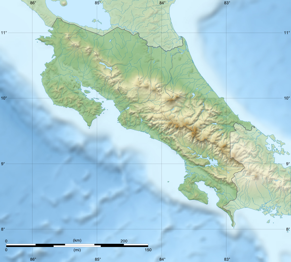
Cerro Cedral
San José Province, Costa Rica
Elevation 2,420 m (7,940 ft) [1]
Location
Range Cerros de Escazú
Coordinates 09°53′N 84°11′W / 9.883°N 84.183°W / 9.883; -84.183Coordinates: 09°53′N 84°11′W / 9.883°N 84.183°W / 9.883; -84.183

The Cerro Cedral is the second highest mountain of the Cerros de Escazú, Costa Rica with 2,420 m (7,940 ft)[1]. Cedral means 'cedar forest' referring to an endangered tree species locally known as Cedro Dulce, which occurs there[2].

This mountain marks the southern limit of Escazú as a canton and of San José as a province.

The Agres river rises from the Cerro Cedral.

On January 15, 1990 a Sansa Airlines flight crashed into the Cerro Cedral killing all 23 crew and passengers on board. The pilot, flying a CASA C-212 Aviocar, was later determined to be under excessive fatigue at the moment[3].

See also

References


Wikimedia Foundation. 2010.

Игры ⚽ Нужно сделать НИР?

Look at other dictionaries:

  • Cerro Rabo de Mico — Elevation 2,428 m (7,966 ft) [1] Location …   Wikipedia

  • Cerro Pico Alto — The Cerro Pico Alto is the third highest mountain of the Cerros de Escazú, Costa Rica with 2,428 m (7,966 ft)[1]. Pico Alto means high peak. See also Cerro Rabo de Mico Cerro Cedral Cerro Pico Blanco Cerro San Miguel References ^ …   Wikipedia

  • Cerro San Miguel — The Cerro San Miguel is the fourth highest mountain of the Cerros de Escazú, Costa Rica 2,035 m (6,677 ft)[1]. San Miguel makes reference to Saint Michael. In 1933 a 26 meter tall iron cross was installed on the top of the mountain, and …   Wikipedia

  • Cerro de San Pedro — is a town and municipality in the Mexican state of San Luis Potosí. The town started as a mining town for gold and silver. It was the founding town of the state, and its figure is prominent in the state s coat of arms. As of 2005[update], the… …   Wikipedia

  • Cerros de Escazú — País(es)  Costa Rica Cumbres Cerro Rabo de Mico 2.428m Cerro Cedral 2.420m Cerro Pico Alto 2.353m Cerro Pico Blanco 2271 m Cerro de San Miguel 2.035m Los Cerros de Escazú son una cadena montaño …   Wikipedia Español

  • Geography of Costa Rica — Political map of Costa Rica. Shaded relief map of Costa Ric …   Wikipedia

  • Río Orinoco — Puente de Angostura sobre el río Orinoco …   Wikipedia Español

  • Cerros de Escazú — The Cerros de Escazú is a mountain range in central Costa Rica. It borders the Central Valley to the south and is considered the northernmost portion of the Cordillera de Talamanca. The highest peak is Cerro Rabo de Mico with 2,428 m… …   Wikipedia

  • Escazú Canton — Escazú is the name of the second canton in the province of San José in Costa Rica. The canton covers an area of 34.49 km² [Instituto Geográfico Nacional (IGN), 2001.] , and has a population of 56,001 [Estimates of Instituto Nacional de… …   Wikipedia

  • Delta del Orinoco — Saltar a navegación, búsqueda Delta del Orinoco El Delta del Orinoco es el delta formado por la desembocadura del río Orinoco, uno de los más grandes del mundo. Su extensión hizo pensar a los primeros exploradores españoles que se trataba de un… …   Wikipedia Español

Share the article and excerpts

Direct link
Do a right-click on the link above
and select “Copy Link”