- Gornja Težka Voda
-
Gornja Težka Voda Location in Slovenia
 Gornja Težka Voda
Coordinates: 45°45′50.3″N 15°12′21.86″E / 45.763972°N 15.2060722°ECoordinates: 45°45′50.3″N 15°12′21.86″E / 45.763972°N 15.2060722°E Country  Slovenia
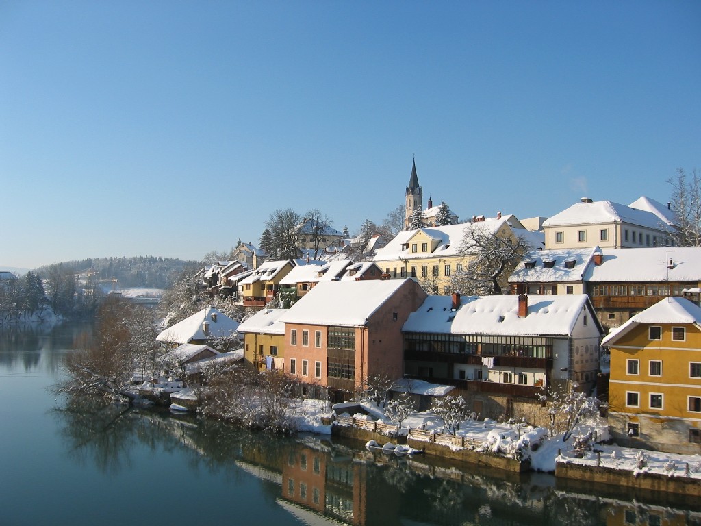
Traditional region Lower Carniola Statistical region Jugovzhodna Slovenija Municipality Novo Mesto Area – Total 1.98 km2 (0.8 sq mi) Elevation 285.8 m (938 ft) Population (2002) – Total 91 [1] Gornja Težka Voda is a settlement at the foothills of the Gorjanci range in the Novo Mesto municipality in southeastern Slovenia. The area is part of the traditional region of Lower Carniola and is now included in the Jugovzhodna Slovenija statistical region.[2]
The local church, built on the northern outskirts of the village, is dedicated to the Saint Urban and belongs to the Stopiče parish. It was built in the late 16th century and restyled in 1833.[3]
References
External links
Categories:- Populated places in the Municipality of Novo Mesto
- Novo Mesto
- Novo Mesto geography stubs

Wikimedia Foundation. 2010.