- Mount Ragoona
-
Mount Rogoona 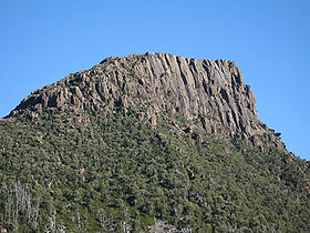
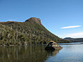
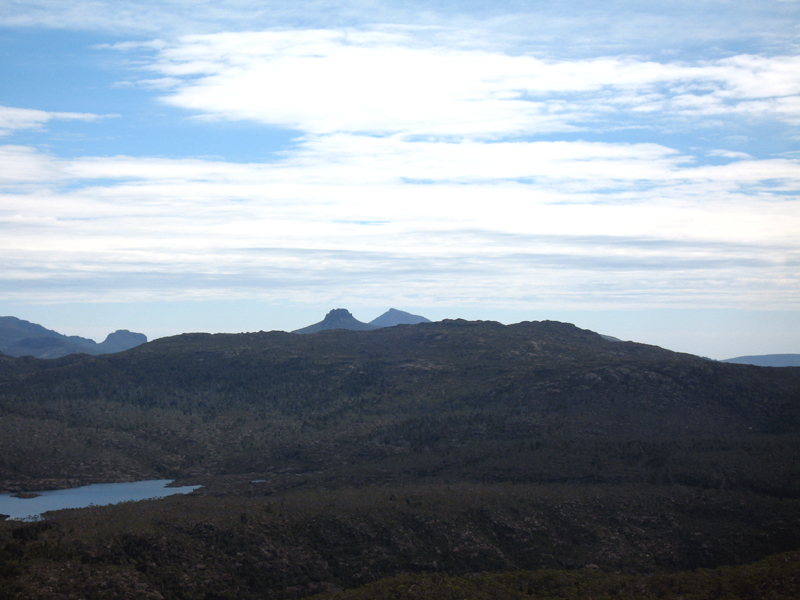
Mount RagoonaElevation 1,350 m (4,429 ft) Location Location Tasmania, Australia Range Stand alone Topo map Cathedral TasMap Mount Ragoona, at 1350 metres altitude is a relatively high mountain in the southern region of the Walls of Jerusalem National Park in Tasmania, Australia. It is virtually surrounded by four large lakes; Myrtle, Meston, Louisa and Adelaide. It is not that well known, however it is a prominent mountain rising from the shores of Lake Myrtle.
Contents
Mountain Facts
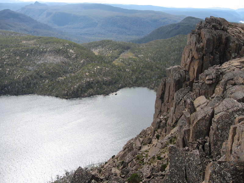
The mountain summit is at grid reference 334619 UTM Zone 55S and high resolution topographical information is available on Tasmap Cathedral (4236) 1:25000. Directly below its sheer cliff face to the immediate west is Lake Myrtle and further west lies Chalice Lake and then Cathedral Mountain, due north is Lake Bill, somewhat distant to the northeast but dominant are the Walls of Jerusalem and due south are The Mountains of Jupiter.
Ascending
On the track from Lake Myrtle to Lake Meston shown on the Cathedral Tasmap and at the approximate gridpoint 355624 UTM 55S, a poorly cairned pad follows an eastern ridge towards the summit of Mount Rogoona.
Gallery
-
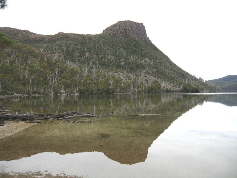
Mount Ragoona and Lake Myrtle
-

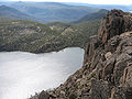
Mount Ragoona reflections
-
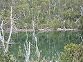
Lake Myrtle reflections
-

The Acropolis and Mount Geryon
-
Pelion West, East and Paddys Nut
-
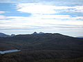
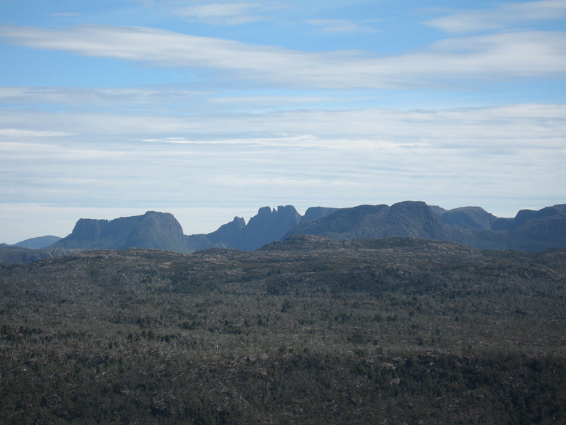
Spectacular mountain views to the south-west
-
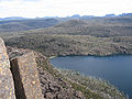
Looking down on Lake Myrtle from near the summit
Nearby visible mountains
- Cathedral Mountain
- Mount Pelion East
- Walls of Jerusalem
- The Acropolis
- Mount Geryon
See also
References
Categories:- Mountains of Tasmania
- Tasmania geography stubs
-


Wikimedia Foundation. 2010.