- Grand Isle, Vermont
Infobox Settlement
official_name = Grand Isle, Vermont
settlement_type = Town
nickname =
motto =
imagesize =
image_caption =
image_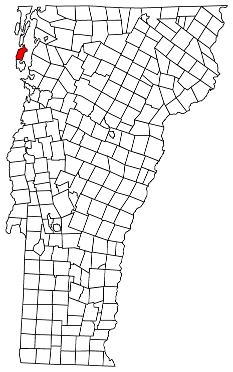
mapsize = 250px
map_caption = Grand Isle, Vermont
mapsize1 =
map_caption1 =subdivision_type = Country
subdivision_name =United States
subdivision_type1 = State
subdivision_name1 =Vermont
subdivision_type2 = County
subdivision_name2 = Grand Islegovernment_footnotes =
government_type =
leader_title =
leader_name =
leader_title1 =
leader_name1 =
established_title =
established_date =unit_pref = Imperial
area_footnotes =area_magnitude =
area_total_km2 = 91.0
area_land_km2 = 42.8
area_water_km2 = 48.2
area_total_sq_mi = 35.1
area_land_sq_mi = 16.5
area_water_sq_mi = 18.6population_as_of = 2000
population_footnotes =
population_total = 1955
population_density_km2 = 45.7
population_density_sq_mi = 118.4timezone = Eastern (EST)
utc_offset = -5
timezone_DST = EDT
utc_offset_DST = -4
elevation_footnotes =
elevation_m = 52
elevation_ft = 171
latd = 44 |latm = 42 |lats = 45 |latNS = N
longd = 73 |longm = 18 |longs = 19 |longEW = Wpostal_code_type =
ZIP code
postal_code = 05458
area_code = 802
blank_name = FIPS code
blank_info = 50-29275GR|2
blank1_name = GNIS feature ID
blank1_info = 1462107GR|3
website =
footnotes =Grand Isle is a town in Grand Isle County,
Vermont ,United States . The population was 1,955 at the 2000 census.A landing for the
Lake Champlain Transportation Company 's ferry to Plattsburgh, New York atCumberland Head is located on the western shore of Grand Isle at Gordon's Landing.Geography
According to the
United States Census Bureau , the town has a total area of 35.1square mile s (91.0km² ), of which, 16.5 square miles (42.8 km²) of it is land and 18.6 square miles (48.2 km²) of it (53.00%) is water.Demographics
As of the
census GR|2 of 2000, there were 1,955 people, 772 households, and 572 families residing in the town. Thepopulation density was 118.4 people per square mile (45.7/km²). There were 1,047 housing units at an average density of 63.4/sq mi (24.5/km²). The racial makeup of the town was 97.54% White, 0.20% African American, 0.31% Native American, 0.36% Asian, and 1.59% from two or more races. Hispanic or Latino of any race were 0.56% of the population.There were 772 households out of which 32.8% had children under the age of 18 living with them, 63.2% were married couples living together, 7.1% had a female householder with no husband present, and 25.9% were non-families. 20.2% of all households were made up of individuals and 6.9% had someone living alone who was 65 years of age or older. The average household size was 2.53 and the average family size was 2.91.
In the town the population was spread out with 25.3% under the age of 18, 4.9% from 18 to 24, 30.1% from 25 to 44, 29.4% from 45 to 64, and 10.4% who were 65 years of age or older. The median age was 40 years. For every 100 females there were 101.3 males. For every 100 females age 18 and over, there were 98.6 males.
The median income for a household in the town was $48,594, and the median income for a family was $52,143. Males had a median income of $39,191 versus $25,900 for females. The
per capita income for the town was $22,955. About 2.7% of families and 4.2% of the population were below thepoverty line , including 2.5% of those under age 18 and 6.4% of those age 65 or over.ee also
*Cumberland Head,
New York References
External links
* [http://www.gisu.org/Grand_Isle/index.html Grand Isle School]
* [http://www.vtstateparks.com/htm/grandisle.cfm Grand Isle State Park]
*
Wikimedia Foundation. 2010.