- West Haven, Utah
Infobox Settlement
official_name = West Haven, Utah
other_name =
native_name =
nickname =
settlement_type =City
motto =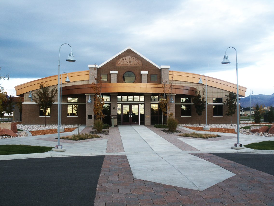
imagesize =
image_caption = West Haven city hall
flag_size =
image_
seal_size =
image_shield =
shield_size =
image_blank_emblem =
blank_emblem_size =
mapsize = 250px
map_caption = Location of West Haven, Utah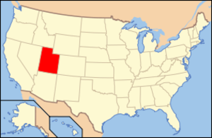
mapsize1 =
map_caption1 = Location of Utah in the United States
image_dot_
dot_mapsize =
dot_map_caption =
dot_x =
dot_y =
pushpin_
pushpin_label_position =
pushpin_map_caption =
pushpin_mapsize =
subdivision_type = Country
subdivision_name =United States
subdivision_type1 = State
subdivision_name1 =Utah
subdivision_type2 = County
subdivision_name2 = Weber
subdivision_type3 =
subdivision_name3 =
subdivision_type4 =
subdivision_name4 =
government_footnotes =
government_type =
leader_title =
leader_name =
leader_title1 =
leader_name1 =
leader_title2 =
leader_name2 =
leader_title3 =
leader_name3 =
leader_title4 =
leader_name4 =
established_title =
established_date =
established_title2 =
established_date2 =
established_title3 =
established_date3 =
area_magnitude =
unit_pref = Imperial
area_footnotes =
area_total_km2 = 26.3
area_land_km2 = 26.3
area_water_km2 = 0.0
area_total_sq_mi = 10.2
area_land_sq_mi = 10.2
area_water_sq_mi = 0.0
area_water_percent =
area_urban_km2 =
area_urban_sq_mi =
area_metro_km2 =
area_metro_sq_mi =
population_as_of = 2000
population_footnotes =
population_note =
population_total = 3,976
population_density_km2 = 150.9
population_density_sq_mi = 391.0
population_metro =
population_density_metro_km2 =
population_density_metro_sq_mi =
population_urban =
population_density_urban_km2 =
population_density_urban_sq_mi =
population_blank1_title =
population_blank1 =
population_density_blank1_km2 =
population_density_blank1_sq_mi =
timezone = MST
utc_offset = -7
timezone_DST = MDT
utc_offset_DST = -6
latd = 41 |latm = 12 |lats = 10 |latNS = N
longd = 112 |longm = 3 |longs = 31 |longEW = W
elevation_footnotes =
elevation_m = 1302
elevation_ft = 4272
postal_code_type = ZIP code
postal_code = 84401
area_code = 801
blank_name = FIPS code
blank_info = 49-82930GR|2
blank1_name = GNIS feature ID
blank1_info = 1455859GR|3
website = [http://www.WestHavenCity.com/ City of West Haven]
footnotes = West Haven is a city in Weber County,Utah ,United States . The population was 3,976 at the 2000 census.West Haven City is located approximately thirty-five miles north of
Salt Lake City , west of theWasatch Mountains in Northern Utah. The confluence of the Weber andOgden River s is located inside the north-eastern portion of the city. The city is bordered on the east by Ogden, on the south by Roy, on the west by Hooper, and on the north by Slaterville. It is part of the Ogden–Clearfield, Utah Metropolitan Statistical Area.West Haven bosts a City Park which includes an Historical Monument. Future plans provide for a River Parkway Trail that would include a fishing bridge, a pedestrian tunnel under 21st Street, picnic tables, places to rest and points of historical interest. Plans have this trail connect with the Weber County Centennial Trail.
Geography
West Haven is located at coor dms|41|12|10|N|112|3|31|W|city (41.202745, -112.058507)GR|1.
According to the
United States Census Bureau , the city has a total area of 10.2square mile s (26.3km² ), all of it land.Demographics
As of the
census GR|2 of 2000, there were 3,976 people, 1,131 households, and 995 families residing in the city. Thepopulation density was 391.0 people per square mile (150.9/km²). There were 1,220 housing units at an average density of 120.0/sq mi (46.3/km²). The racial makeup of the city was 94.06% White, 0.48% African American, 0.48% Native American, 0.83% Asian, 0.08% Pacific Islander, 2.29% from other races, and 1.79% from two or more races. Hispanic or Latino of any race were 4.85% of the population.There were 1,131 households out of which 52.3% had children under the age of 18 living with them, 79.1% were married couples living together, 6.1% had a female householder with no husband present, and 12.0% were non-families. 9.5% of all households were made up of individuals and 3.9% had someone living alone who was 65 years of age or older. The average household size was 3.52 and the average family size was 3.77.
In the city the population was spread out with 36.9% under the age of 18, 10.0% from 18 to 24, 28.6% from 25 to 44, 18.6% from 45 to 64, and 5.8% who were 65 years of age or older. The median age was 28 years. For every 100 females there were 103.7 males. For every 100 females age 18 and over, there were 99.8 males.
The median income for a household in the city was $57,120, and the median income for a family was $62,188. Males had a median income of $40,264 versus $30,428 for females. The
per capita income for the city was $18,089. About 1.3% of families and 1.8% of the population were below thepoverty line , including 1.8% of those under age 18 and 2.0% of those age 65 or over.References
External links
* [http://www.westhavencity.com/ Official Site]

Wikimedia Foundation. 2010.