- La Verkin, Utah
Infobox Settlement
official_name = La Verkin, Utah
settlement_type =City
nickname =
motto =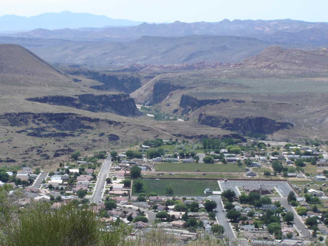
imagesize =
image_caption =
image_
mapsize = 250px
map_caption = Location of La Verkin, Utah
mapsize1 =
map_caption1 =subdivision_type = Country
subdivision_name =United States
subdivision_type1 = State
subdivision_name1 =Utah
subdivision_type2 = County
subdivision_name2 = Washingtongovernment_footnotes =
government_type =
leader_title =
leader_name =
leader_title1 =
leader_name1 =
established_title =
established_date =unit_pref = Imperial
area_footnotes =
area_magnitude =
area_total_km2 = 41.8
area_land_km2 = 41.8
area_water_km2 = 0.0
area_total_sq_mi = 16.1
area_land_sq_mi = 16.1
area_water_sq_mi = 0.0population_as_of = 2000
population_footnotes =
population_total = 3392
population_density_km2 = 81.2
population_density_sq_mi = 210.3timezone = Mountain (MST)
utc_offset = -7
timezone_DST = MDT
utc_offset_DST = -6
elevation_footnotes =
elevation_m = 973
elevation_ft = 3192
latd = 37 |latm = 12 |lats = 49 |latNS = N
longd = 113 |longm = 16 |longs = 0 |longEW = Wpostal_code_type =
ZIP code
postal_code = 84745
area_code = 435
blank_name = FIPS code
blank_info = 49-43440GR|2
blank1_name = GNIS feature ID
blank1_info = 1429398GR|3
website =
footnotes =La Verkin is a city in Washington County,
Utah ,United States . The population was 3,392 at the 2000 census. It is thoughtWho|date=September 2008 that the name 'La Verkin' is a corruption of the Spanish pronunciation of 'La Virgen.' The town of La Verkin is situated on the Virgin River, which was named by Spanish missionaries in the 1700s. When the Mormon settlers established their village on the river in the late 1800s, they matched their town's name, more or less homophonically, to the Spanish name of the river.The city also made national headlines as it declared itself a "United Nations-free zone".Fact|date=September 2008
Geography
La Verkin is located at coor dms|37|12|49|N|113|16|0|W|city (37.213615, -113.266802)GR|1.
According to the
United States Census Bureau , the city has a total area of 16.1square mile s (41.8km² ), all of it land.Demographics
As of the
census GR|2 of 2000, there were 3,392 people, 1,053 households, and 840 families residing in the city. Thepopulation density was 210.3 people per square mile (81.2/km²). There were 1,158 housing units at an average density of 71.8/sq mi (27.7/km²). The racial makeup of the city was 93.81% White, 0.12% African American, 1.27% Native American, 0.21% Asian, 0.12% Pacific Islander, 1.92% from other races, and 2.56% from two or more races. Hispanic or Latino of any race were 4.60% of the population.There were 1,053 households out of which 44.6% had children under the age of 18 living with them, 66.3% were married couples living together, 9.6% had a female householder with no husband present, and 20.2% were non-families. 17.0% of all households were made up of individuals and 7.5% had someone living alone who was 65 years of age or older. The average household size was 3.20 and the average family size was 3.61.
In the city the population was spread out with 35.8% under the age of 18, 9.1% from 18 to 24, 24.5% from 25 to 44, 17.5% from 45 to 64, and 13.1% who were 65 years of age or older. The median age was 29 years. For every 100 females there were 98.9 males. For every 100 females age 18 and over, there were 94.0 males.
The median income for a household in the city was $35,949, and the median income for a family was $39,432. Males had a median income of $30,051 versus $19,602 for females. The
per capita income for the city was $12,113. About 10.1% of families and 12.1% of the population were below thepoverty line , including 15.7% of those under age 18 and 6.4% of those age 65 or over.References
External links
* [http://www.laverkin.org La Verkin City Official Website]
* [http://www.media.utah.edu/UHE/l/LAVERKIN.html History of La Verkin from the Utah History Encyclopedia]
Wikimedia Foundation. 2010.