- Herriman, Utah
Infobox Settlement
official_name = Herriman, Utah
settlement_type =City
nickname =
imagesize =
image_caption =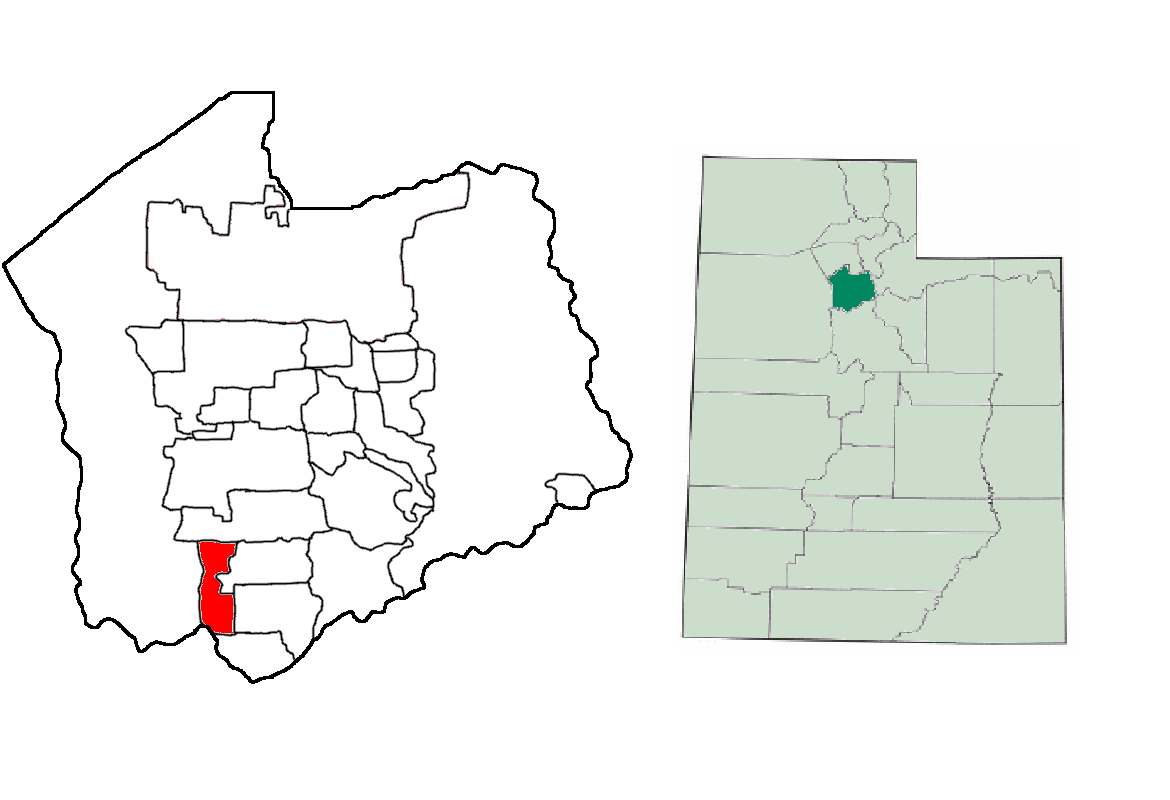
mapsize = 250px
map_caption = Location of Herriman in Salt Lake County, Utah
mapsize1 =
map_caption1 =
subdivision_type = Country
subdivision_type1 = State
subdivision_type2 = County
subdivision_name =United States
subdivision_name1 =Utah
subdivision_name2 = Salt Lake
government_type =
leader_title =Mayor
leader_name =J. Lynn Crane
established_date =
area_magnitude =
area_total_km2 = 23.6
area_land_km2 = 23.6
area_water_km2 = 0.0
population_as_of = 2000
population_total = 1523
population_metro = 1018826
population_density_km2 = 64.5
postal_code_type =ZIP code
postal_code = 84096
area_code = 801
timezone = Mountain
utc_offset = -7
timezone_DST = Mountain
utc_offset_DST = -6
latd = 40 |latm = 30 |lats = 24 |latNS = N
longd = 112 |longm = 1 |longs = 51 |longEW = W
area_total_sq_mi = 9.1
area_land_sq_mi = 9.1
area_water_sq_mi = 0.0
elevation_m = 1524
elevation_ft = 5000
website = http://www.herriman.org
blank_name = FIPS code
blank_info = 49-34970GR|2
blank1_name = GNIS feature ID
blank1_info = 1428675GR|3
footnotes =Herriman is a city in southwestern Salt Lake County,
Utah ,United States . The population was 1,523 at the 2000 census. Although Herriman was a town in 2000,GR|2 it has since been classified as a fifth-class city by state law. [ [http://www.livepublish.le.state.ut.us/lpBin22/lpext.dll/InfobaseUtahCode/title01306.htm/chapter01347.htm/section01373.htm?fn=document-frame.htm&f=templates §10-2-301] of theUtah Code , last amended in 2003. Accessed2008-06-14 .]Geography
Herriman is located at coor dms|40|30|24|N|112|1|51|W|city (40.506588, -112.030872)GR|1 at an altitude of about 5000 ft.
According to the
United States Census Bureau , the city has a total area of 9.1square mile s (23.6km² ), all of it land.Herriman shares borders with Riverton to the east, South Jordan to the north, and Bluffdale to the southeast.
Demographics
As of the
census GR|2 of 2000, there were 1,523 people, 437 households, and 388 families residing in the town. Thepopulation density was 167.1 people per square mile (64.5/km²). There were 459 housing units at an average density of 50.4/sq mi (19.4/km²). The racial makeup of the town was 95.99% White, 1.18% Native American, 0.26% Asian, 0.33% Pacific Islander, 1.25% from other races, and 0.98% from two or more races. Hispanic or Latino of any race were 2.76% of the population.There were 437 households out of which 55.1% had children under the age of 18 living with them, 82.2% were married couples living together, 4.3% had a female householder with no husband present, and 11.0% were non-families. 8.9% of all households were made up of individuals and 3.0% had someone living alone who was 65 years of age or older. The average household size was 3.49 and the average family size was 3.73.
In the town the population was spread out with 36.6% under the age of 18, 12.9% from 18 to 24, 34.4% from 25 to 44, 12.5% from 45 to 64, and 3.6% who were 65 years of age or older. The median age was 25 years. For every 100 females there were 111.2 males. For every 100 females age 18 and over, there were 103.6 males.
The median income for a household in the town was $56,361, and the median income for a family was $57,404. Males had a median income of $44,135 versus $30,893 for females. The
per capita income for the town was $18,991. About 2.9% of families and 3.9% of the population were below thepoverty line , including 5.7% of those under age 18 and none of those age 65 or over.Founders
The founders of Herriman were
Robert Dansie , Henry Harriman, andThomas Jefferson Butterfield .outhwest LDS Temple
The LDS church has [http://www.ksl.com/index.php?nid=148&sid=114158 announced] a southwest (Salt Lake valley) temple, not to be mistaken for the currently under construction Oquirrh Mountain Temple. Many believe the Southwest Temple will be the Herriman Utah temple (Herriman temple). While the LDS church has not further reported the city the southwest temple will be located in, some also believe it may be in neighboring
Bluffdale city.Rosecrest
History
[http://rosecrestutah.com Rosecrest] is a large continuing development in South-SouthEastern Herriman, Utah. Approximately [http://deseretnews.com/dn/view/0,1249,635174673,00.html 2000] homes exist in Rosecrest currently with between [http://deseretnews.com/dn/view/0,1249,635174673,00.html 200-400] added each yearcite web
url=http://deseretnews.com/dn/view/0,1249,635174673,00.html
format=htm
publisher=deseretnews.com
title=Buyers are finding home sweet home in Rosecrest area
accessdate=2006-01-13] .Land Battles
Rosecrest recently won a lawsuit with partner land owners/developers that likely will allow [http://deseretnews.com/dn/view/0,1249,635174673,00.html 4000] acres to be annexed out of neighbor city Bluffdale into Herriman to further expand the Rosecrest/Herriman housing projects. The [http://www.geocities.com/govincheck/bluffdaledispute.htm lawsuit] stemmed from [http://www.deseretnews.com/dn/view/0,1249,695193841,00.html years] of struggle between Bluffdale city officials, strict city building requirements, and Rosecrest.
Management
Rosecrest is owned by parent company [http://www.sorensoncompanies.com Sorenson Companies] founded by the late James LeVoy Sorenson and currently assisted by his son the younger
References
External links
* [http://www.herrimanpost.com Herriman News, Restaurants, Shopping and Services]
* [http://www.herriman.org/ Herriman official website]
* [http://www.herriman360.com/ Herriman Community website]
* [http://www.geocities.com/govincheck/herrimannews.htm Herriman Happenings news site]
Wikimedia Foundation. 2010.