- Lashkar Gah
Infobox Settlement
official_name =Lashkar Gah
other_name =
native_name =لښگرگاه
nickname =
settlement_type =
motto =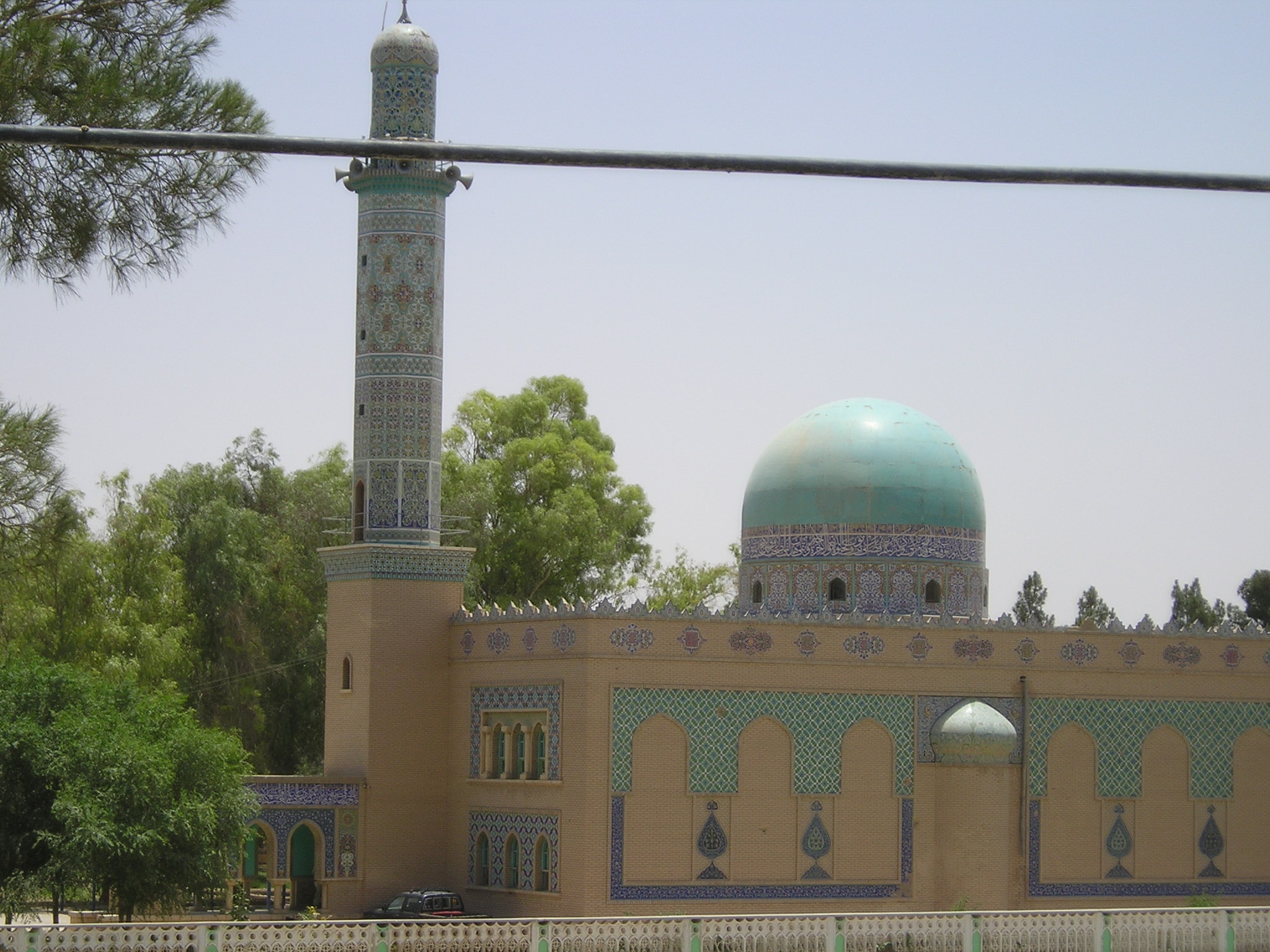
imagesize = 300px
image_caption =
flag_size =
image_
seal_size =
image_shield =
shield_size =
image_blank_emblem =
blank_emblem_type =
blank_emblem_size =
mapsize =
map_caption =
mapsize1 =
map_caption1 =
image_dot_
dot_mapsize =
dot_map_caption =
dot_x = |dot_y =
pushpin_
pushpin_label_position =bottom
pushpin_map_caption =Location in Afghanistan
pushpin_mapsize =300
subdivision_type = Country
subdivision_name = flag|Afghanistan
subdivision_type1 = Province
subdivision_name1 =Helmand Province
subdivision_type2 = District
subdivision_name2 =
subdivision_type3 =
subdivision_name3 =
subdivision_type4 =
subdivision_name4 =
government_footnotes =
government_type =
leader_title =
leader_name =
leader_title1 =
leader_name1 =
leader_title2 =
leader_name2 =
leader_title3 =
leader_name3 =
leader_title4 =
leader_name4 =
established_title =
established_date =
established_title2 =
established_date2 =
established_title3 =
established_date3 =
area_magnitude =
unit_pref =Imperial
area_footnotes =
area_total_km2 =
area_land_km2 =
area_water_km2 =
area_total_sq_mi =
area_land_sq_mi =
area_water_sq_mi =
area_water_percent =
area_urban_km2 =
area_urban_sq_mi =
area_metro_km2 =
area_metro_sq_mi =
area_blank1_title =
area_blank1_km2 =
area_blank1_sq_mi =
population_as_of =2006
population_footnotes =
population_note =
population_total =45,846
population_density_km2 =
population_density_sq_mi =
population_metro =
population_density_metro_km2 =
population_density_metro_sq_mi =
population_urban =
population_density_urban_km2 =
population_density_urban_sq_mi =
population_blank1_title =Ethnicities
population_blank1 =
population_blank2_title =Religions
population_blank2 =
population_density_blank1_km2 =
population_density_blank1_sq_mi =
timezone =
utc_offset =
timezone_DST =
utc_offset_DST =
latd=31|latm=34|lats=59|latNS=N
longd=64|longm=22|longs=9|longEW=E
elevation_footnotes =
elevation_m = 773
elevation_ft =
postal_code_type =
postal_code =
area_code =
blank_name =
blank_info =
blank1_name =
blank1_info =
website =
footnotes =Lashkar Gah (alternative name: Bost) is a city in southern
Afghanistan , thecapital ofHelmand province . It is situated between the Helmand and Arghandab rivers. Lashkar Gah is linked by highways withKandahar to the east,Zaranj to the west andHerat to the north-west. It is mostly very arid and desolate. However, farming does exist around the Helmand and Arghandab rivers. There is an airfield (Bost Airport ), located on east bank of Helmand river 5 miles north of the junction of the Helmand and Argahandab rivers with gravel sufaced runway.History
Lashkar Gah means "army barracks" in
Persian . It grew up a thousand years ago as a riverside barracks town for soldiers accompanying theGhaznavid nobility to their grand winter capital of Bost. The ruins of the Ghaznavid mansions still stand along the Helmand River; the city of Bost and its outlying communities were sacked in successive centuries by theGhorids ,Genghis Khan , andTimur Leng .The great fortress of Bost, Qala-e-Bost, remains an impressive ruin at the convergence of the Helmand and
Arghandab River s, a half hour's drive south of Lashkar Gah. Qala-e-Bost is famous for its decorative arch, which appears on the 100 Afghani note (Afghan currency). As of April 2008, it was possible to descend into an ancient shaft about 20 feet across and 200 feet deep, with a series of dark side rooms and a spiral staircase leading to the bottom. In 2006 construction began on a cobblestone road to lead from the south of Lashkar Gah to the Qala-e-Bost Arch.The modern city of Lashkar Gah was built as a headquarters for American engineers working on the Helmand valley irrigation project in the 1950s. Lashkar Gah was built in American style, with broad tree-lined streets and brick houses with no walls separating them from the street. In the wake of the Soviet invasion and the long
Afghan civil war , the trees mostly came down and walls went up.The massive Helmand irrigation project in the 1940s-1970s created one of the most extensive farming zones in southern Afghanistan, opening up many thousands of hectares of desert to human cultivation and habitation. The project focused on three large canals: the Boghra, Shamalan, and Darweshan. The new communities of Nad-i-Ali and Marja located to the West and North of Lashkar Gah respectively [http://www.aims.org.af/maps/national/physical/south_west.pdf Map of Southwestern Afghanistan] and now two of the largest districts in Helmand province were settled in addition to the native
Parsiwan population, by mostlyPashtun migration from all corners of the country. Responsibility for maintaining the canals was given to the Helmand Arghandab Valley Authority (HAVA), a semi-independent government agency whose authority (in its heyday) rivaled that of the provincial governors.Ethnography
Lashkar Gah is one of the most ethnically and tribally diverse locations in Helmand Province and by Afghan standards is relatively cosmopolitan.
Property Boom
As a result of conflict in surrounding areas in Helmand driving people in towards the capital and thriving opium production Lashkar Gah is experiencing a massive property boom where house prices are reaching $400,000.
ISAF Operations
Following the deployment of British forces to Helmand Province, Lashkar Gah has served as the Headquarters location for British forces serving on Op HERRICK.
See also
*
Afghanistan
*International Security Assistance Force
*Provincial Reconstruction Team
*NATO References and footnotes
External links
* [http://www.zharov.com/dupree/chapter17.html Historical Guide to Afghanistan - Lashkar Gah and Bost]
* [http://www.timesonline.co.uk/tol/news/world/asia/article1632857.ece]
* [http://www.mellbin.com/K6-web/index.htm Pictures from Helmand Province]

Wikimedia Foundation. 2010.