- Dingman Township, Pennsylvania
Geobox Township
name = Dingman Township
native_name =
other_name =
other_name1 =
category = Township
image_size =
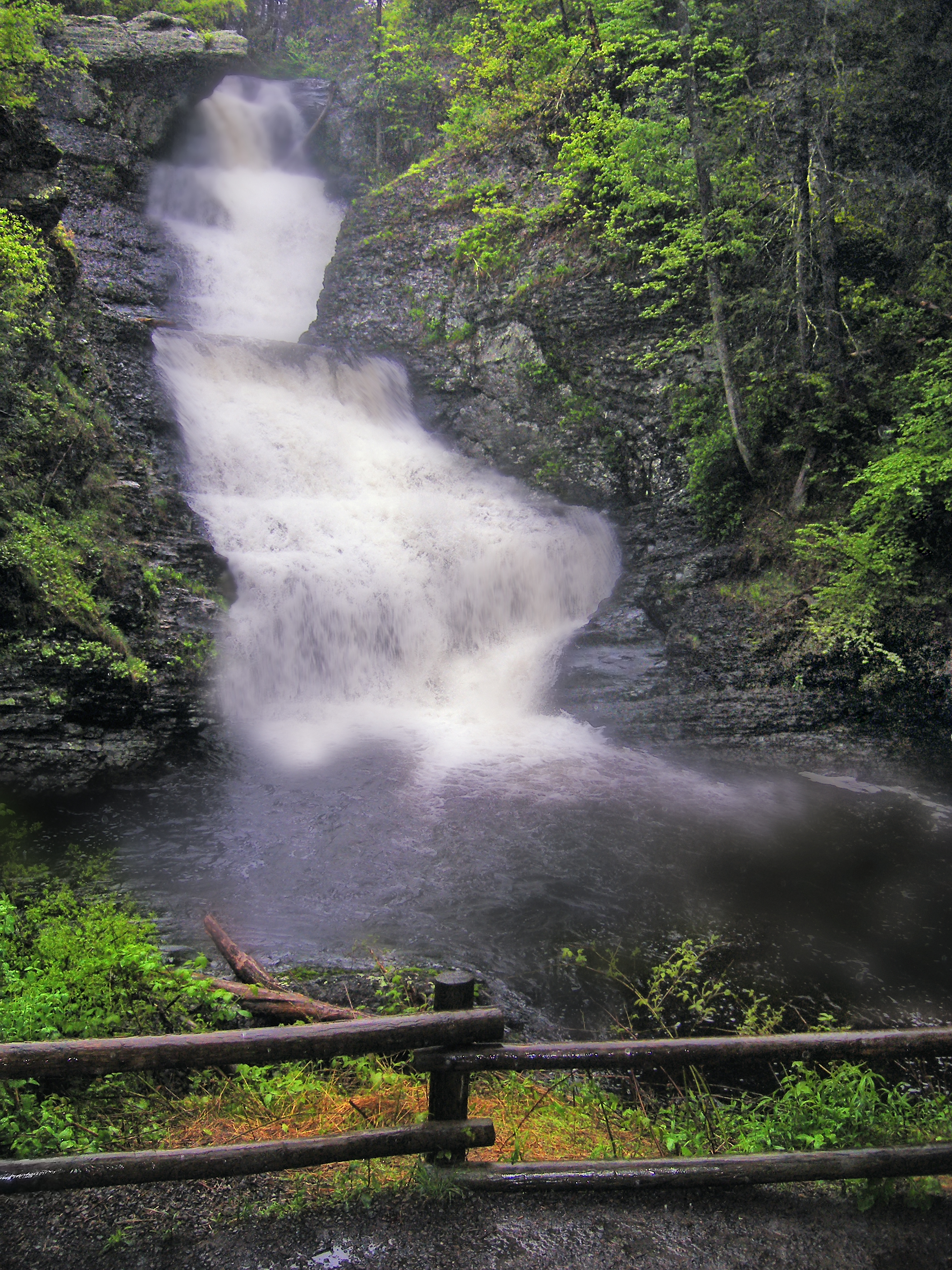
image_caption = Raymondskill Falls, Dingman Township, Pike County, within theDelaware Water Gap National Recreation Area .
flag_size =
symbol =
symbol_size =
nickname =
motto =
country = United States
state = Pennsylvania
region = Pike
region_type = County
district =
area_imperial = 59.9
area_land_imperial = 58.2
area_water_imperial = 1.8
area_water_percentage = auto
area_percentage_round = 2
area_round = 1
location =
lat_d = 41
lat_m = 22
lat_s = 36
lat_NS = N
long_d = 74
long_m = 57
long_s = 59
long_EW = W
elevation_imperial = 1342
elevation_round = 1
population_as_of = 2000
population = 8788
population_density_imperial = 151.1
population_density_round = 1
established =
mayor =
timezone = EST
utc_offset = -5
timezone_DST = EDT
utc_offset_DST = -4
postal_code =
postal_code_type =
area_code = 570
area_code_type =
code2_type =
code2 =
free_type =
free =
free1_type =
free1 =

map_size =
map_caption = Location of Dingman Township in Pennsylvania
map_locator = Pennsylvania
map1 = Map of USA PA.svg
map1_caption = Location of Pennsylvania in the United States
website =Dingman Township is a township in Pike County,
Pennsylvania ,United States . The population was 8,788 at the 2000 census. The Township was created in 1832 and named in honor of Judge Daniel Westbrook Dingman.Geography
According to the
United States Census Bureau , the township has a total area of 59.9square mile s (155.2km² ), of which, 58.2 square miles (150.7 km²) of it is land and 1. square miles (4.5 km²) of it (2.92%) is water.Demographics
As of the
census GR|2 of 2000, there were 8,788 people, 2,980 households, and 2,425 families residing in the township. Thepopulation density was 151.1 people per square mile (58.3/km²). There were 5,689 housing units at an average density of 97.8/sq mi (37.8/km²). The racial makeup of the township was 94.14% White, 2.28% African American, 0.47% Native American, 0.51% Asian, 1.05% from other races, and 1.56% from two or more races. Hispanic or Latino of any race were 5.12% of the population.There were 2,980 households out of which 44.3% had children under the age of 18 living with them, 71.4% were married couples living together, 6.4% had a female householder with no husband present, and 18.6% were non-families. 14.2% of all households were made up of individuals and 5.3% had someone living alone who was 65 years of age or older. The average household size was 2.95 and the average family size was 3.29.
In the township the population was spread out with 31.1% under the age of 18, 5.4% from 18 to 24, 30.6% from 25 to 44, 22.8% from 45 to 64, and 10.1% who were 65 years of age or older. The median age was 37 years. For every 100 females there were 100.0 males. For every 100 females age 18 and over, there were 97.3 males.
The median income for a household in the township was $54,866, and the median income for a family was $56,458. Males had a median income of $41,589 versus $26,643 for females. The
per capita income for the township was $21,519. About 4.1% of families and 4.2% of the population were below thepoverty line , including 5.5% of those under age 18 and 5.9% of those age 65 or over.References
Wikimedia Foundation. 2010.