- Wheatland, Pennsylvania
Geobox|Borough
name = Wheatland
official_name =
category =Borough
image_size =
image_caption =
flag_size =
symbol =
symbol_size =
etymology_type =
etymology =
nickname =
motto =
country = United States
country_
state = Pennsylvania
state_
region_type = County
region = Mercer
district =
part_type =
part_count =
part =
part1 =
area_imperial = 0.9
area_land_imperial =
area_water_imperial =
area_urban_imperial =
area_metro_imperial =
location =
lat_d = 41
lat_m = 12
lat_s = 1
lat_NS = N
long_d = 80
long_m = 29
long_s = 45
long_EW = W
coordinates_type = region:US_type:city
population_as_of = 2000
population = 748
population_urban =
population_metro =
population_density_imperial = 847.8
population_density_urban_imperial =
population_density_metro_imperial =
government =
established_type = Established
established =1865
established1_type =
established1 =
government_type =
mayor = Thomas R. Stanton
leader_type =
leader1_name =
leader1_type =
timezone = EST
utc_offset = -4
timezone_DST = EDT
utc_offset_DST = -5
postal_code = 16161
postal_code_type = Zip code
area_code = 724
area_code_type =
free_type =
free =
free1_type =
free1 =
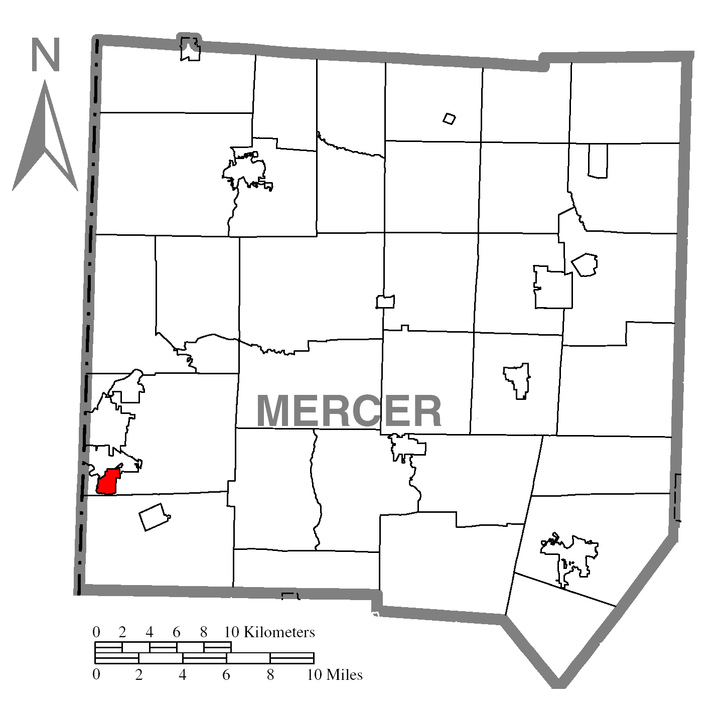
map_caption = Location of Wheatland in Mercer County
map1 = Pennsylvania Locator Map.png
map1_locator = Pennsylvania
map2 = Map of USA PA.svg
map2_caption = Location of Pennsylvania in the United States
website =
footnotes =Wheatland is a borough in Mercer County,
Pennsylvania , along theShenango River . The population was 748 at the 2000 census.Wheatland suffered extensive damage on
May 31 ,1985 , when a severetornado struck the area. The tornado killed 18 (seven of whom were Wheatland residents), injured over 300, and was easily the most powerful and damaging inPennsylvania 's history (see1985 United States-Canadian tornado outbreak ).Geography
Wheatland is located at coor dms|41|12|1|N|80|29|45|W|city (41.200389, -80.495709)GR|1.
According to the
United States Census Bureau , the borough has a total area of 0.9square mile s (2.3km² ), all of it land.Demographics
As of the
census GR|2 of 2000, there were 748 people, 349 households, and 202 families residing in the borough. Thepopulation density was 847.8 people per square mile (328.2/km²). There were 379 housing units at an average density of 429.6/sq mi (166.3/km²). The racial makeup of the borough was 85.96% White, 12.03% African American, 0.13% Asian, 0.13% from other races, and 1.74% from two or more races. Hispanic or Latino of any race were 1.07% of the population.There were 349 households out of which 17.8% had children under the age of 18 living with them, 41.5% were married couples living together, 11.2% had a female householder with no husband present, and 42.1% were non-families. 38.1% of all households were made up of individuals and 20.9% had someone living alone who was 65 years of age or older. The average household size was 2.14 and the average family size was 2.85.
In the borough the population was spread out with 18.3% under the age of 18, 5.5% from 18 to 24, 25.8% from 25 to 44, 22.7% from 45 to 64, and 27.7% who were 65 years of age or older. The median age was 46 years. For every 100 females there were 85.1 males. For every 100 females age 18 and over, there were 82.9 males.
The median income for a household in the borough was $27,596, and the median income for a family was $34,250. Males had a median income of $30,521 versus $18,409 for females. The
per capita income for the borough was $15,365. About 8.3% of families and 14.4% of the population were below thepoverty line , including 21.4% of those under age 18 and 12.7% of those age 65 or over.References

Wikimedia Foundation. 2010.