- Chemiré-en-Charnie
-
Chemiré-en-Charnie

 Chemiré-en-CharnieLocation within Pays de la Loire region
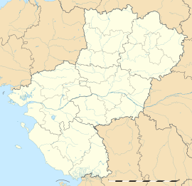 Chemiré-en-Charnie
Administration Country France Region Pays de la Loire Department Sarthe Arrondissement La Flèche Canton Loué Intercommunality Communauté de communes des Pays de Loué Mayor Michel Coutelle
(2008–2014)Statistics Elevation 135 m (443 ft) avg. Land area1 11.47 km2 (4.43 sq mi) Population2 200 (2006 [1]) - Density 17 /km2 (44 /sq mi) INSEE/Postal code 72074/ 72540 1 French Land Register data, which excludes lakes, ponds, glaciers > 1 km² (0.386 sq mi or 247 acres) and river estuaries. 2 Population without double counting: residents of multiple communes (e.g., students and military personnel) only counted once. Coordinates: 48°03′16″N 0°12′05″W / 48.0544°N 0.2014°W
Chemiré-en-Charnie is a commune in the Sarthe department in the Pays de la Loire region in north-western France.
See also
References
- ^ http://www.insee.fr/fr/ppp/bases-de-donnees/recensement/populations-legales/departement.asp?dep=72#dep_B Populations légales 2006 publiées par l’INSEE le 1er janvier 2009
Categories:- Communes of Sarthe
- Sarthe geography stubs


Wikimedia Foundation. 2010.