- Loue
Infobox River | river_name = Loue

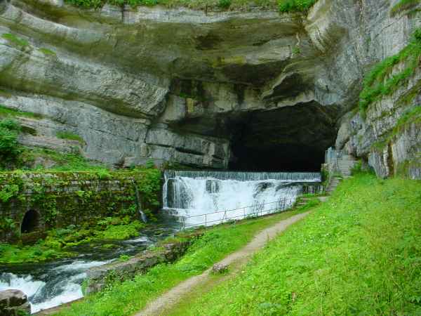
caption = The source of the Loue, showingkarst formations.
origin =Jura mountains
coord|47|0|39|N|6|17|57|E|name=source Loue
mouth = Doubs
coord|47|0|47|N|5|26|55|E|name=Doubs-Loue|display=inline,title
basin_countries =France
length = 122 km
elevation = 528 m
discharge = 59 m³/s
watershed = 1,760 km²The Loue is ariver of easternFrance , a left tributary of the Doubs, which it joins downstream of Dole. Its source is akarst ic spring in theJura mountains nearOuhans , which at least partly receives its water from the Doubs. This connection with the Doubs was only discovered in 1901 when a spillage from thePernod factory into the Doubs was transmitted into the Loue [cite book |author=April McMahon |title=Understanding language change |publisher=Cambridge University Press |pages=p. 133 |year=1994 |id=ISBN 0-521-44665-1] .The Loue flows through the following départements and towns:
*
Doubs :Ornans ,Quingey
*Jura:Montbarrey References
*http://www.geoportail.fr
* [http://sandre.eaufrance.fr/app/chainage/courdo/htm/U26-0400.php?cg=U26-0400 The Loue at the Sandre database]
Wikimedia Foundation. 2010.
