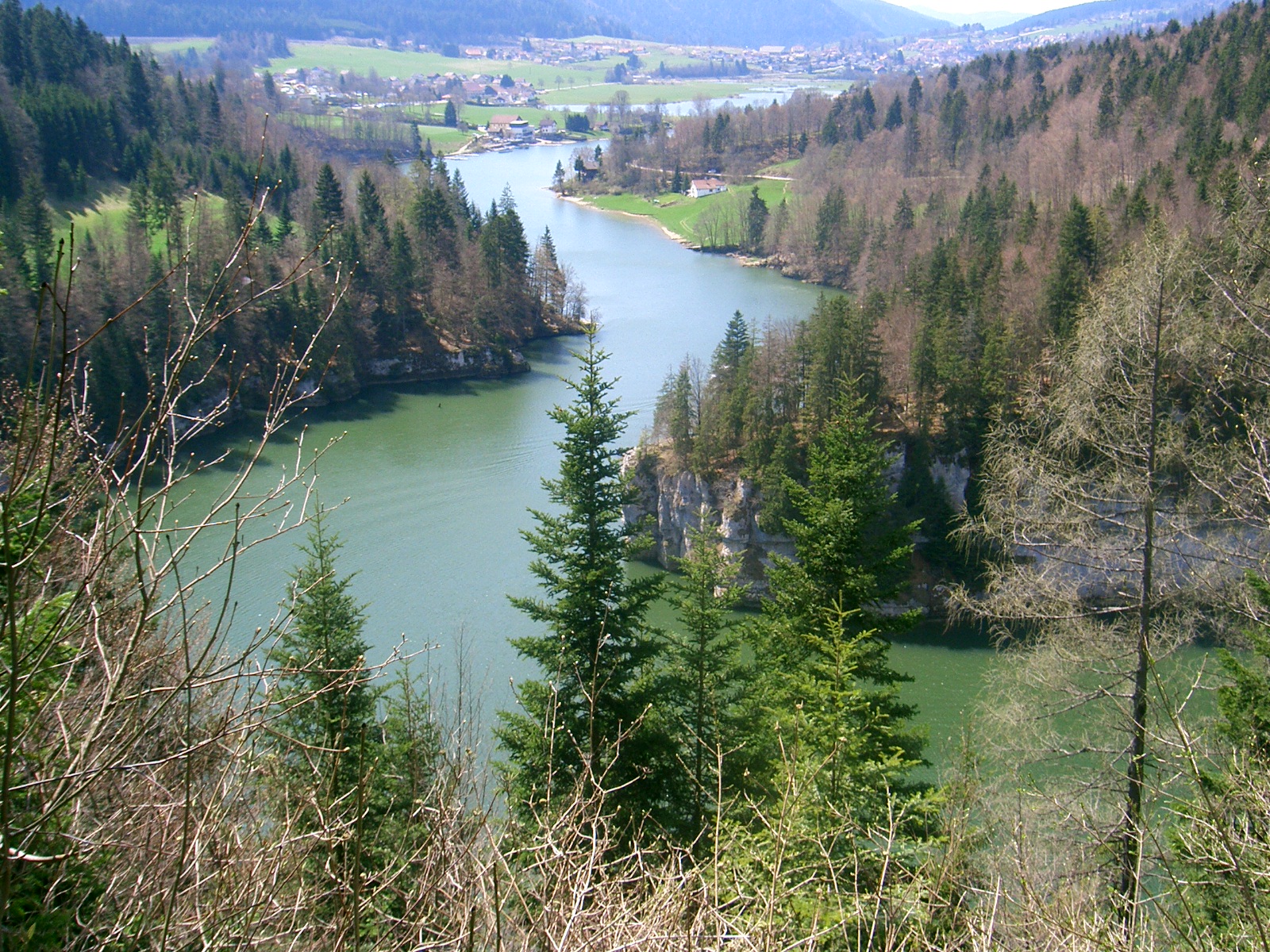
- Doubs River
Infobox River | river_name = Doubs

caption = The Doubs in France.
origin =Jura mountains
coord|46|42|17|N|6|12|34|E|name=source Doubs
mouth =Saône
coord|46|54|3|N|5|1|27|E|name=Saône-Doubs|display=inline,title
basin_countries =France ,Switzerland
length = 453 km
elevation = 937 m
discharge = 176 m³/s
watershed = 7,500 km²The Doubs is a 453 km longriver in easternFrance and westernSwitzerland , left tributary of theSaône . Its source is nearMouthe in the westernJura mountains . First it flows north-east, more or less along the French-Swiss border (forming the border for approx. 40 km). NearMontbéliard it turns south-west, until it flows into the riverSaône inVerdun-sur-le-Doubs , approx. 20 km north-east ofChalon-sur-Saône .The Doubs flows through the following "départements", cantons and cities:
* Doubs (F, named after the river):
Pontarlier .
*Canton of Neuchâtel (CH).
*Canton of Jura (CH):Saint-Ursanne .
* Doubs (F):Montbéliard ,Besançon .
* Jura (F): Dole.
*Saône-et-Loire (F):Verdun-sur-le-Doubs .Trbutaries include:
*Loue
*Dessoubre The river forms several lakes:
*Lac des Brenets (elevation 750 m)
*Lac de Moron (elevation 716 m)
*Lac de Biaufond (elevation 610 m)References
*http://www.geoportail.fr
* [http://sandre.eaufrance.fr/app/chainage/courdo/htm/U2--0200.php?cg=U2--0200 The Doubs at the Sandre database]
Wikimedia Foundation. 2010.
