- Coignières
-
Coignières

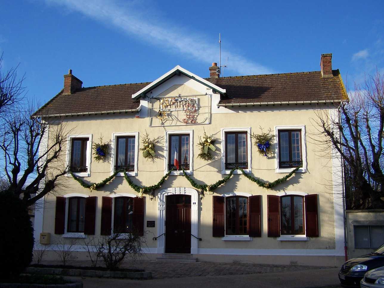
Town hall 
 CoignièresLocation within Île-de-France region
 Coignières
Administration Country France Region Île-de-France Department Yvelines Arrondissement Rambouillet Canton Maurepas Mayor Henri Pailleux
(2008–2014)Statistics Elevation 99–178 m (325–584 ft)
(avg. 169 m/554 ft)Land area1 8.27 km2 (3.19 sq mi) Population2 4,444 (2006) - Density 537 /km2 (1,390 /sq mi) INSEE/Postal code 78168/ 78310 1 French Land Register data, which excludes lakes, ponds, glaciers > 1 km² (0.386 sq mi or 247 acres) and river estuaries. 2 Population without double counting: residents of multiple communes (e.g., students and military personnel) only counted once. Coordinates: 48°44′53″N 1°55′16″E / 48.74806°N 1.921111°E
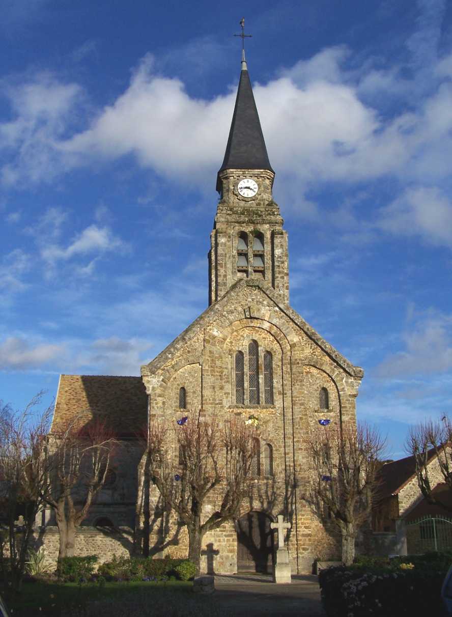
 Saint-Germain-d'Auxerre
Coignières is a commune in the Yvelines department in the Île-de-France region in north-central France.
Geography
Coignières is situated 18 km (11 mi) southwest of Versailles. Its neighbours include Maurepas to the north, Mesnil-Saint-Denis and Lévis-Saint-Nom to the east, Essarts-le-Roi to the south and Saint-Rémy-l'Honoré to the west.
The village is roughly 170 m above sea level, fairly flat except to the west where there is a valley with the Mauldre river which runs from the area called la Maison Blanche to the north.
Coignières is connected by the RN10 route nationale 10 which traverses the commune from the northeast to the southwest, and given the amount of traffic it effectly divides the commune in two. Coignières train station is located on the Paris-Chartres train line and runs parallel to the RN10.
The commune is quite well developed with new housing and commercial zones near Maurepas and beyond the Saint-Quentin-en-Yvelines region. There is also a large industrial zone (le Marais) between the RN10 and the railway line.
Part of the commune to the west is still a partly wooded rural area (Bois des Hautes Bruyères).
Finally, the GR 11 footpath also cuts across the commune from east to west.
See also
References
Categories:- Communes of Yvelines
- Yvelines geography stubs


Wikimedia Foundation. 2010.