- West Lampeter Township, Pennsylvania
Infobox Settlement
official_name = Pagename
settlement_type = Township
nickname =
motto =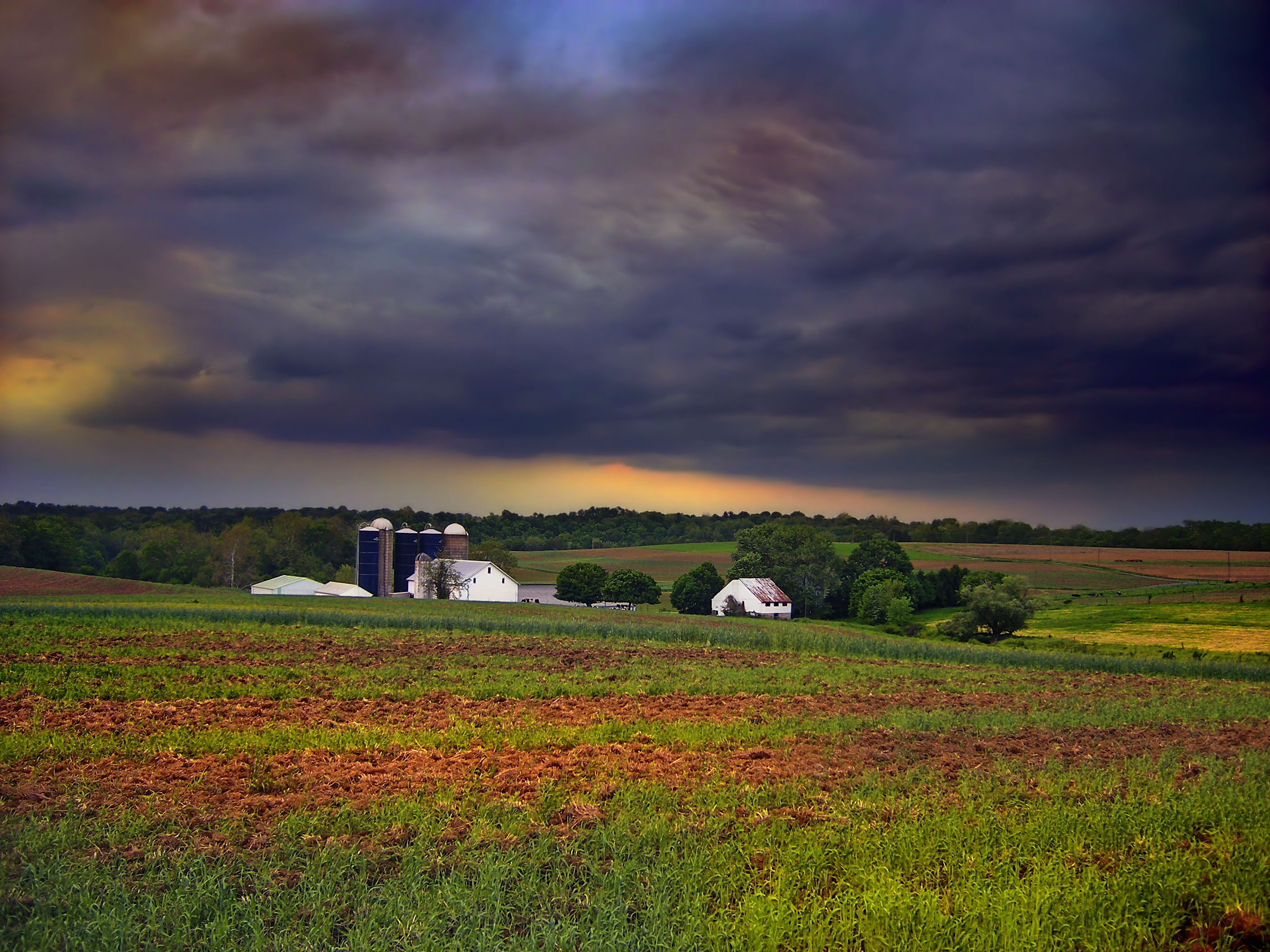
imagesize =
image_caption = A farm in West Lampeter Township
image_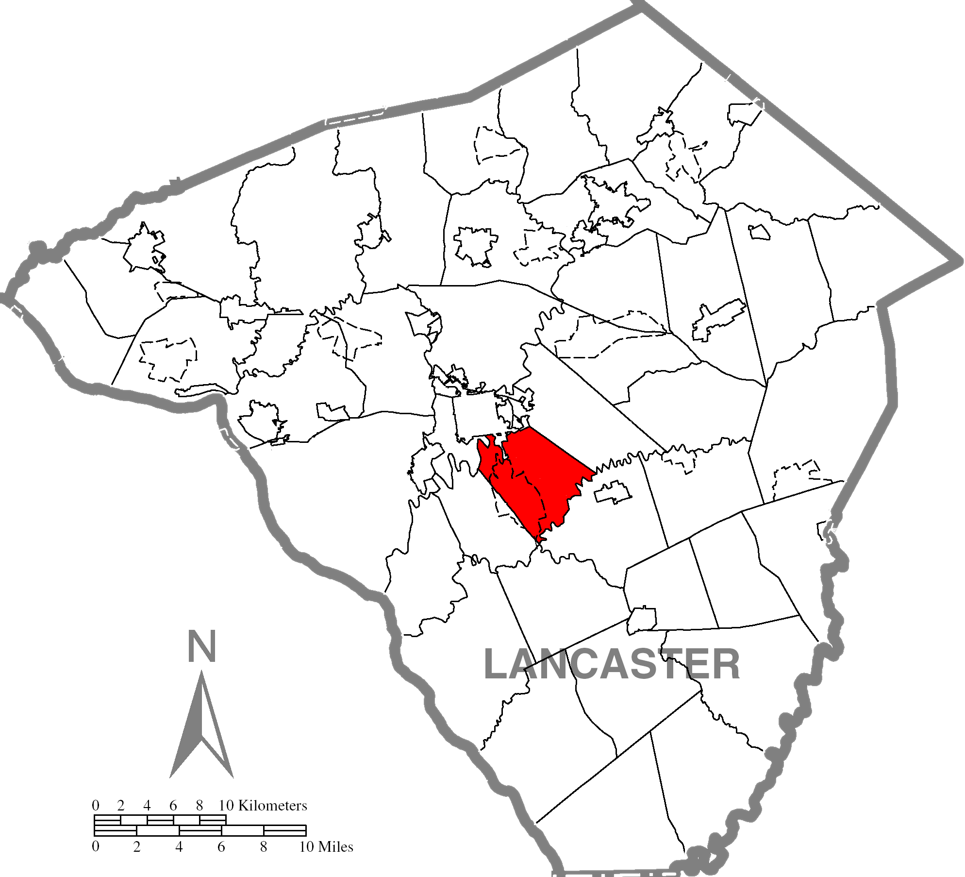
mapsize = 250x200px
map_caption = Map of Lancaster County, Pennsylvania highlighting West Lampeter Township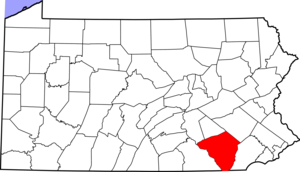
mapsize1 = 250x200px
map_caption1 = Map of Lancaster County, Pennsylvania
subdivision_type = Country
subdivision_name =United States
subdivision_type1 = State
subdivision_name1 =Pennsylvania
subdivision_type2 = County
subdivision_name2 = Lancaster
government_footnotes =
government_type = Board of Supervisors
leader_title =
leader_name =
leader_title1 =
leader_name1 =
leader_title2 =
leader_name2 =
established_title = Settled
established_date =
established_title1 = Incorporated
established_date1 = 1841
unit_pref = Imperial
area_footnotes =
area_magnitude =
area_total_km2 =
area_land_km2 =
area_water_km2 =
area_total_sq_mi = 16.4
area_land_sq_mi =
area_water_sq_mi =
population_as_of = 2000
population_footnotes =
population_total = 13145
population_density_km2 =
population_density_sq_mi = 800.0
timezone = Eastern (EST)
utc_offset = -5
timezone_DST = EDT
utc_offset_DST = -4
postal_code_type =
postal_code =
area_code = 717
website = [http://www.westlampeter.com/westlampeter/site/default.asp West Lampeter Township]
footnotes =West Lampeter Township is a township in central Lancaster County,
Pennsylvania ,United States . The population was 13,145 at the 2000 census.West Lampeter Township is one of the six immediate
suburb s of the city of Lancaster, all sharing the same official designation as Lancaster, Pennsylvania by theUnited States Postal Service . [cite web | title=Lancaster's suburbs | work=Google | url= http://books.google.com/books?id=f891HxR6y9MC&pg=PA225&lpg=PA225&dq=east+hempfield+township+suburb+of+lancaster&source=web&ots=9d7xV6ASFc&sig=radVQZ8hHgzU3qf4xbuzZOTkIog&hl=en | accessmonthday=March 18 | accessyear=2008]Geography
According to the
United States Census Bureau , the township has a total area of 16.4square mile s (42.6km² ), all of it land.Demographics
As of the
census GR|2 of 2000, there were 13,145 people, 5,284 households, and 3,762 families residing in the township. Thepopulation density was 800.0 people per square mile (308.9/km²). There were 5,467 housing units at an average density of 332.7/sq mi (128.5/km²). The racial makeup of the township was 97.35% White, 0.79% African American, 0.05% Native American, 0.60% Asian, 0.01% Pacific Islander, 0.70% from other races, and 0.50% from two or more races. Hispanic or Latino of any race were 1.72% of the population.There were 5,284 households out of which 27.6% had children under the age of 18 living with them, 63.4% were married couples living together, 5.3% had a female householder with no husband present, and 28.8% were non-families. 26.1% of all households were made up of individuals and 17.8% had someone living alone who was 65 years of age or older. The average household size was 2.42 and the average family size was 2.91.
In the township the population was spread out with 22.5% under the age of 18, 5.1% from 18 to 24, 24.3% from 25 to 44, 19.7% from 45 to 64, and 28.3% who were 65 years of age or older. The median age was 44 years. For every 100 females there were 87.5 males. For every 100 females age 18 and over, there were 83.6 males.
The median income for a household in the township was $51,043, and the median income for a family was $61,053. Males had a median income of $41,944 versus $26,848 for females. The
per capita income for the township was $24,713. About 2.2% of families and 3.1% of the population were below thepoverty line , including 3.4% of those under age 18 and 4.2% of those age 65 or over.References

Wikimedia Foundation. 2010.