- Mowata, Louisiana
-
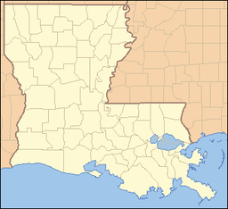
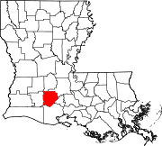
Mowata Unincorporated community Country United States State Louisiana Parish Acadia Elevation 46 ft (14 m) Coordinates 30°23′31″N 92°24′43″W / 30.39194°N 92.41194°W Timezone CST (UTC-6) - summer (DST) CDT (UTC-5) Area code 337 Mowata [1] is a small farming unincorporated community in Acadia Parish, Louisiana (USA) located between Crowley and Eunice along LA Hwy 13
 . The community is part of the Crowley Micropolitan Statistical Area.[2] The community includes the St. Lawrence Catholic church with a baseball park on the grounds. A small grocery store near the church is called "The Mowata Store" and is a popular place to buy boudin.
References
Municipalities and communities of Acadia Parish, Louisiana Cities Towns Basile‡ | Church Point | Duson‡ | Iota
Villages Estherwood | Mermentau | Morse
Unincorporated
communitiesArceneaux | Bates | Branch | Castille | Deshotel | Ebenezer | Egan | Ellis | Evangeline | Frey | Hundley | Judd | Keystone | Lyons Point | Maxie | Midland | Millerville | Mire | Mowata | Nezpique | Peach Bloom | Pitreville | Prudhomme | Richard | Roberts Cove | Rork | Tepetate | Tortue | Whitehouse | Williams
Footnotes ‡This populated place also has portions in an adjacent parish or parishes
Categories:- Populated places in Acadia Parish, Louisiana
- Acadiana
- Unincorporated communities in Louisiana
- Louisiana geography stubs
Wikimedia Foundation. 2010.


