- Palizada (municipality)
Infobox Settlement
name = Palizada
image_
settlement_type = Municipality
subdivision_type = Country
subdivision_name = flag|Mexico
subdivision_type1 = State
subdivision_name1 =Campeche
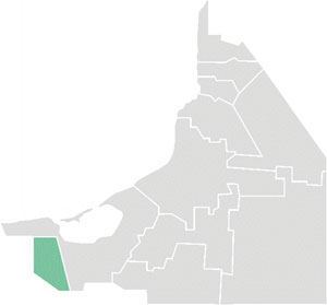
map_caption = Location of Palizada
mapsize= 150px
pushpin_
pushpin_label_position =
pushpin_map_caption =
pushpin_mapsize =
population_as_of=2005
population_total=8290
population_note=
population_density_km2=auto
area_total_km2= 2071.70
leader_title =Municipal president
leader_name = (2006-09)
leader_party =
subdivision_type2 = Municipal seat
subdivision_name2 =Palizada
subdivision_type3 =
subdivision_name3 =
blank_name = Created
blank_info =1 January 1916
blank1_name =
blank1_info =
blank2_name =
blank2_info =
timezone = CST
utc_offset = -6
timezone_DST = CDT
utc_offset_DST = -5
latd =18.63 | latm =0 | lats = | latNS =N
longd = 91.83 | longm=0 | longs= | longEW =W
website= [http://www.palizada.gob.mx/ www.palizada.gob.mx/]
footnotes=Palizada is one of the 11 municipalities that make up the Mexican state of
Campeche . It is situated in the far south-west corner of the state. The municipal seat, and largest settlement, is the city of Palizada.History and geography
The municipality of Carmen borders to the west with the state of
Tabasco and to the east with the neighbouring Campeche municipality of Carmen. It covers a total surface area of 2,071.70km².Demographics
The 2005 census reported a population of 8,290 persons.
Population centres in the municipality include:
*Palizada , the municipal seat Others: San Juan, Santa Isabel,Alamilla ,El Cuyo ,La Viuda , Santa Cruz, Paraíso,Borbotón ,La Poza and Marichi.References
* [http://www.inegi.gob.mx/est/contenidos/espanol/sistemas/conteo2005/localidad/iter/ Link to tables of population data from Census of 2005] INEGI: Instituto Nacional de Estadística, Geografía e Informática
* [http://www.e-local.gob.mx/work/templates/enciclo/campeche/Mpios/04007a.htm Palizada] Enciclopedia de los Municipios de MéxicoExternal links
* [http://www.palizada.gob.mx/ Ayuntamiento de Palizada] Official website es icon
* [http://www.campeche.gob.mx/Campeche/Municipios/Palizada.php Municipio de Palizada] from official Campeche state government website es icon

Wikimedia Foundation. 2010.