- Grampian, Pennsylvania
Infobox Settlement
official_name = Pagename
other_name =
native_name =
nickname =
settlement_type = Borough
motto =
imagesize =
image_caption =
flag_size =
image_
seal_size =
image_shield =
shield_size =
image_blank_emblem =
blank_emblem_size =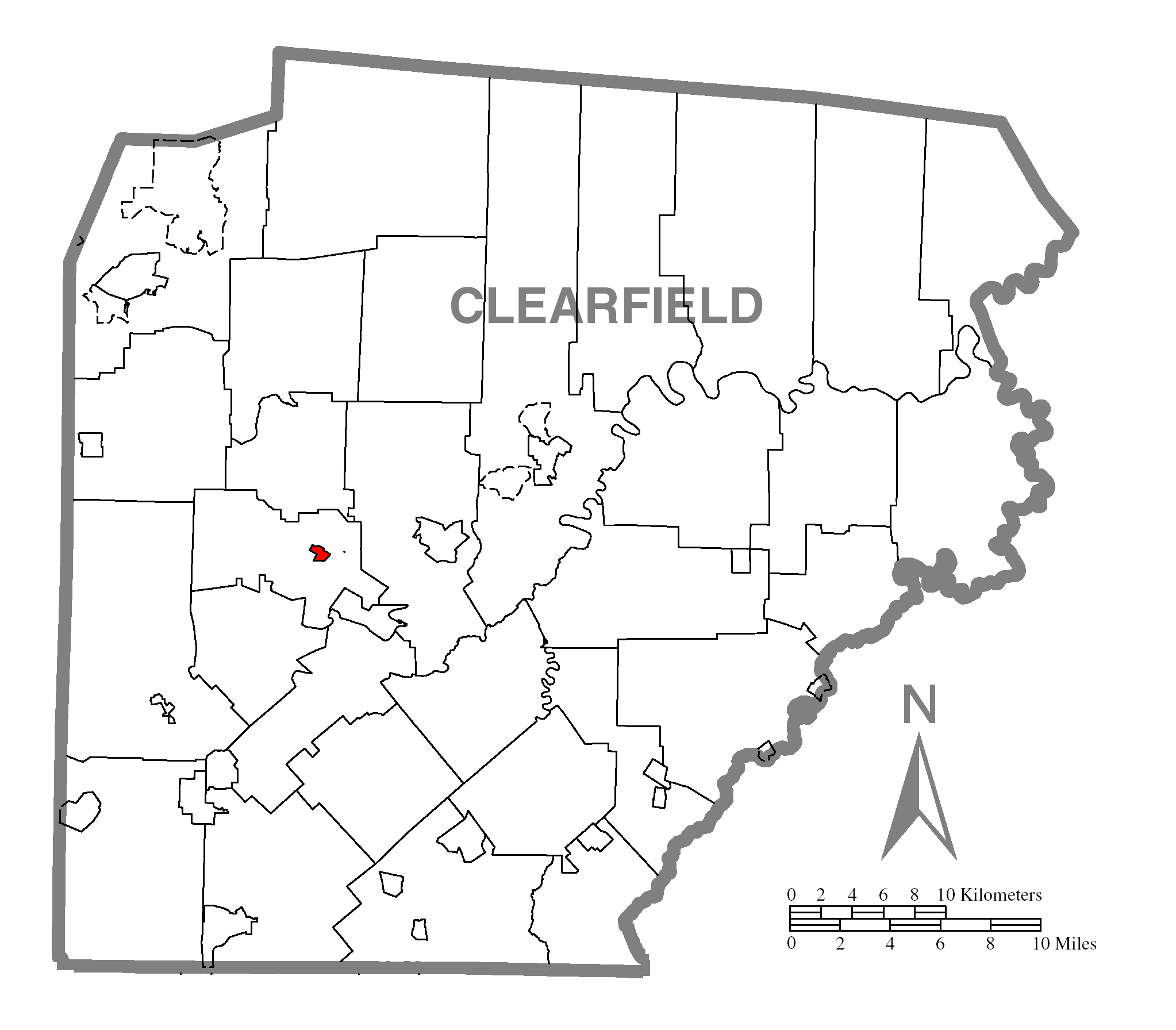
mapsize = 150px
map_caption = Map showing Grampian in Clearfield County
mapsize1 = 175px
map_caption1 = Map showing Clearfield County in Pennsylvania
image_dot_
dot_mapsize =
dot_map_caption =
dot_x =
dot_y =
pushpin_
pushpin_label_position = left
pushpin_map_caption = Pennsylvania
pushpin_mapsize =
subdivision_type = Country
subdivision_name =United States
subdivision_type1 = State
subdivision_name1 =Pennsylvania
subdivision_type2 = County
subdivision_name2 = Clearfield
government_footnotes =
government_type = Borough Council
leader_title = Mayor
leader_name =
leader_title1 =
leader_name1 =
leader_title2 =
leader_name2 =
leader_title3 =
leader_name3 =
leader_title4 =
leader_name4 =
established_title = Settled
established_date = 1805
established_title1 = Incorporated
established_date1 = 1885
area_magnitude =
unit_pref =
unit_pref = Imperial
area_footnotes =
area_total_km2 = 0.8
area_land_km2 =
area_water_km2 =
area_total_sq_mi = 0.3
area_land_sq_mi =
area_water_sq_mi =
area_water_percent =
population_as_of = 2000
population_footnotes =
population_note =
population_total = 441
population_density_km2 = 567.6
population_density_sq_mi = 1486.0
timezone = Eastern (EST)
utc_offset = -5
timezone_DST = EDT
utc_offset_DST = -4
latd = 40
latm = 57
lats = 55
latNS = N
longd = 78
longm = 36
longs = 41
longEW = W
elevation_footnotes =
elevation_m =
elevation_ft =
postal_code_type =Zip code
postal_code = 16838
area_code = 814
website =
footnotes =Grampian is a borough in Clearfield County,
Pennsylvania ,United States . The population was 441 at the 2000 census.Geography
Grampian is located at coor dms|40|57|55|N|78|36|41|W|city (40.965240, -78.611294)GR|1.
According to the
United States Census Bureau , the borough has a total area of 0.3square mile s (0.8km² ), all of it land.Water supply
The town of Grampian is the remnants of a booming coal industry. The town had reached such sustainable population that a municipal water supply was incorporated. The water supply is piped from Curwensville, Pa and then dispersed into several water tanks for community use. The water authority board consists of pillars of the community and handle budgets, grants and hiring of licensed technicians. Grampian/Penn Township Water Authority employs one full time licensed technician to run day to day operations.
Demographics
As of the
census GR|2 of 2000, there were 441 people, 166 households, and 119 families residing in the borough. Thepopulation density was 1,486.0 people per square mile (567.6/km²). There were 177 housing units at an average density of 596.4/sq mi (227.8/km²). The racial makeup of the borough was 99.77% White, 0.23% from other races. Hispanic or Latino of any race were 0.68% of the population.There were 166 households out of which 42.2% had children under the age of 18 living with them, 56.6% were married couples living together, 10.8% had a female householder with no husband present, and 28.3% were non-families. 24.7% of all households were made up of individuals and 10.8% had someone living alone who was 65 years of age or older. The average household size was 2.66 and the average family size was 3.14.
In the borough the population was spread out with 31.3% under the age of 18, 7.5% from 18 to 24, 29.5% from 25 to 44, 17.5% from 45 to 64, and 14.3% who were 65 years of age or older. The median age was 31 years. For every 100 females there were 94.3 males. For every 100 females age 18 and over, there were 88.2 males.
The median income for a household in the borough was $29,271, and the median income for a family was $34,219. Males had a median income of $26,528 versus $20,179 for females. The
per capita income for the borough was $12,127. About 6.2% of families and 8.4% of the population were below thepoverty line , including 14.8% of those under age 18 and none of those age 65 or over.References
External links

Wikimedia Foundation. 2010.