- Spring Mills, Pennsylvania
Geobox Borough
name = Spring Mills
native_name =
other_name =
other_name1 =
category =
image_size =
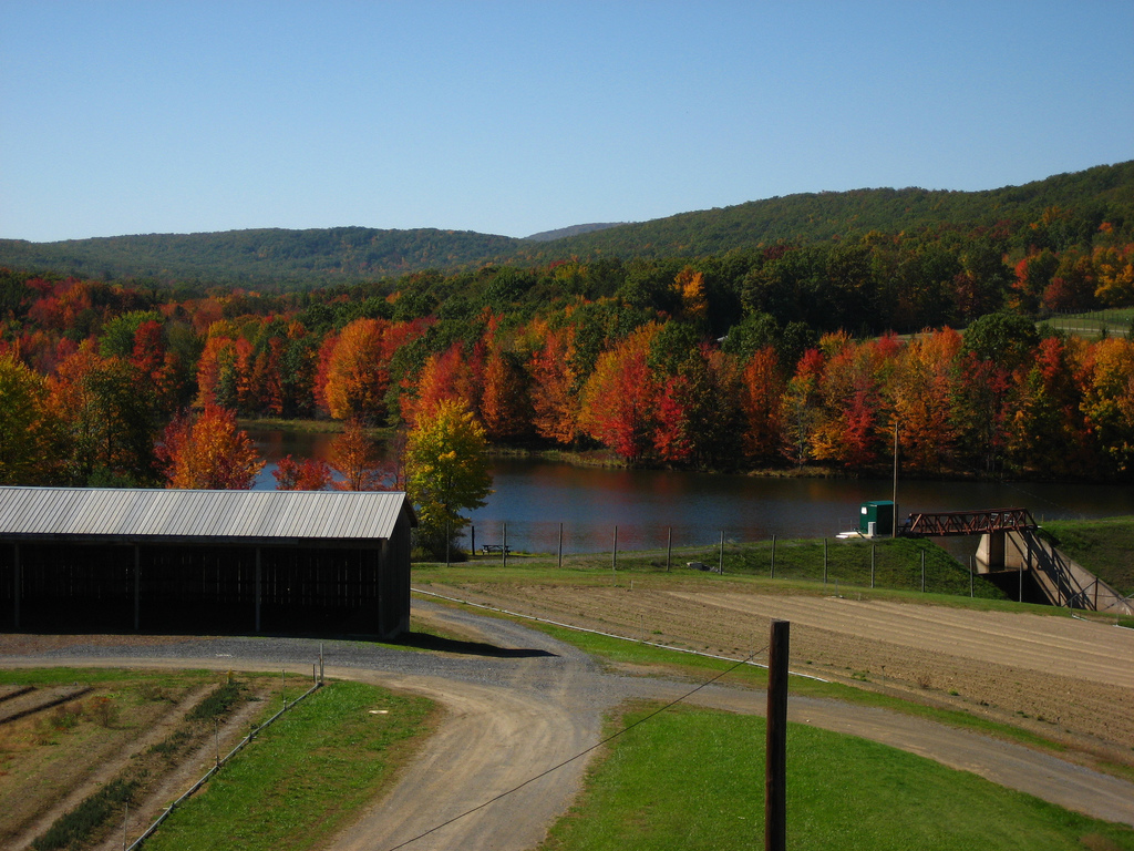
image_caption = Route 322
flag_size =
symbol_type =
symbol =
symbol_size =
nickname =
motto =
country = United States
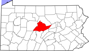
state = Pennsylvania
region = Centre
region_type = County
district =
area_imperial = 1.9
area_land_imperial = 1.9
area_water_imperial = 0.0
area_water_percentage = auto
area_percentage_round = 2
area_round = 1
location =
lat_d = 40
lat_m = 51
lat_s = 18
lat_NS = N
long_d = 77
long_m = 34
long_s = 09
long_EW = W
elevation_imperial =
elevation_round =
population_as_of =
population =
population_density_imperial =
population_density_round =
government_type =
government =
established_type =
established =
mayor =
timezone = EST
utc_offset = -5
timezone_DST = EDT
utc_offset_DST = -4
postal_code =
postal_code_type =
area_code =Area code 814
area_code_type =
code2_type =
code2 =
free_type =
free =
free1_type =
free1 =
map_size =
map_caption =
map_locator =
map1 =
map1_caption =
website =Spring Mills is a
census-designated place (CDP) in Centre County,Pennsylvania ,United States . It is part of theState College, Pennsylvania Metropolitan Statistical Area . The population was 289 at the 2000 census.Geography
According to the
United States Census Bureau , the CDP has a total area of 0.5square mile s (1.2km² ), all of it land.Demographics
As of the
census GR|2 of 2000, there were 289 people, 105 households, and 78 families residing in the CDP. Thepopulation density was 622.2 people per square mile (242.6/km²). There were 110 housing units at an average density of 236.8/sq mi (92.3/km²). The racial makeup of the CDP was 99.65% White and 0.35% Asian. Hispanic or Latino of any race were 0.35% of the population.There were 105 households out of which 28.6% had children under the age of 18 living with them, 65.7% were married couples living together, 5.7% had a female householder with no husband present, and 25.7% were non-families. 19.0% of all households were made up of individuals and 11.4% had someone living alone who was 65 years of age or older. The average household size was 2.75 and the average family size was 3.26.
In the CDP the population was spread out with 23.2% under the age of 18, 8.7% from 18 to 24, 27.0% from 25 to 44, 26.0% from 45 to 64, and 15.2% who were 65 years of age or older. The median age was 38 years. For every 100 females there were 99.3 males. For every 100 females age 18 and over, there were 94.7 males.
The median income for a household in the CDP was $43,750, and the median income for a family was $52,083. Males had a median income of $31,591 versus $25,357 for females. The
per capita income for the CDP was $17,832. About 2.4% of families and 3.2% of the population were below thepoverty line , including 5.3% of those under the age of eighteen and none of those sixty five or over.External links
*
* [http://www.ianstaintonpottery.com/ Local Artist]References

Wikimedia Foundation. 2010.