- Doylestown Township, Pennsylvania
Geobox Township
name = Doylestown Township
native_name =
other_name =
other_name1 =
category = Township
image_size =
image_caption =
flag_size =
symbol =
symbol_size =
nickname =
motto =
country = United States
state = Pennsylvania
region = Bucks
region_type = County
district =
area_imperial = 15.6
area_land_imperial = 15.5
area_water_imperial = 0.1
area_water_percentage = auto
area_percentage_round = 2
area_round = 1
location =
lat_d = 40
lat_m = 17
lat_s = 54
lat_NS = N
long_d = 75
long_m = 08
long_s = 05
long_EW = W
elevation_imperial = 299
elevation_round = 1
population_as_of = 2000
population = 17619
population_density_imperial = 1136.7
population_density_round = 1
government_type =
government =
established_type =
established =
mayor =
timezone = EST
utc_offset = -5
timezone_DST = EDT
utc_offset_DST = -4
postal_code =
postal_code_type =
area_code = 215
area_code_type =
code2_type =
code2 =
free_type =
free =
free1_type =
free1 =
map_size =
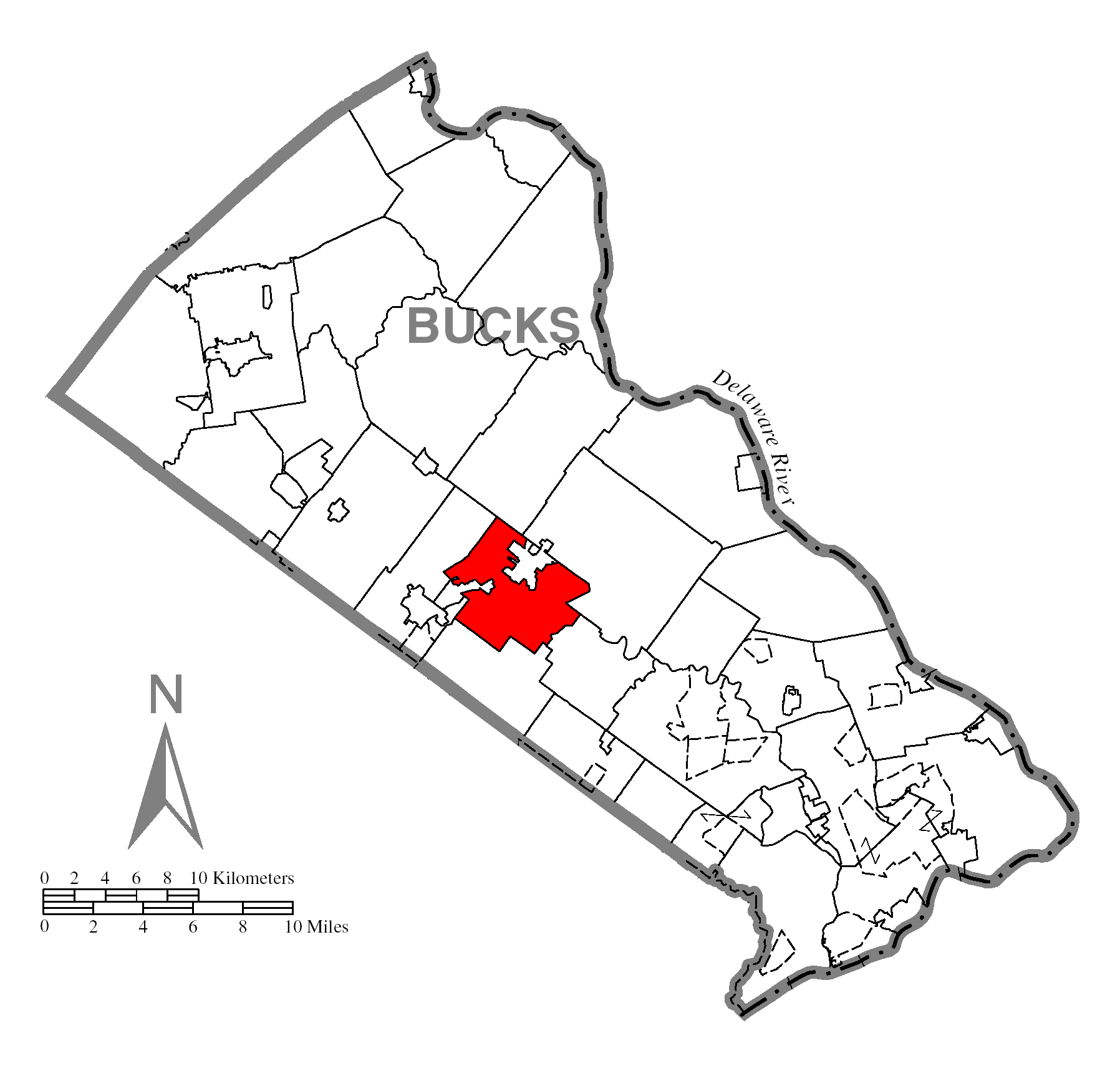
map_caption = Location of Doylestown Township in Bucks County
map1 = Pennsylvania Locator Map.png
map1_caption = Location of Doylestown Township in Pennsylvania
map1_locator = Pennsylvania
map2 = Map of USA PA.svg
map2_caption = Location of Pennsylvania in the United States
website = http://www.doylestownpa.orgDoylestown Township is a township in Bucks County,
Pennsylvania ,United States . The population was 17,619 at the 2000 census. Adjacent to the county seat, many county offices and the county correctional facility are located in this township.Geography
According to the
United States Census Bureau , the township has a total area of 15.6square mile s (40.4km² ), of which, 15.5 square miles (40.1 km²) of it is land and 0.1 square miles (0.2 km²) of it (0.51%) is water.Demographics
As of the
census GR|2 of 2000, there were 17,619 people, 5,999 households, and 4,445 families residing in the township. Thepopulation density was 1,136.7 people per square mile (438.9/km²). There were 6,200 housing units at an average density of 400.0/sq mi (154.4/km²). The racial makeup of the township was 95.22% White, 2.59% African American, 0.06% Native American, 1.25% Asian, 0.02% Pacific Islander, 0.20% from other races, and 0.64% from two or more races. Hispanic or Latino of any race were 1.40% of the population.There were 5,999 households out of which 35.1% had children under the age of 18 living with them, 66.7% were married couples living together, 5.6% had a female householder with no husband present, and 25.9% were non-families. 22.0% of all households were made up of individuals and 11.7% had someone living alone who was 65 years of age or older. The average household size was 2.63 and the average family size was 3.11.
In the township the population was spread out with 23.7% under the age of 18, 5.4% from 18 to 24, 27.2% from 25 to 44, 25.7% from 45 to 64, and 18.0% who were 65 years of age or older. The median age was 42 years. For every 100 females there were 96.7 males. For every 100 females age 18 and over, there were 94.1 males.
The median income for a household in the township was $81,226, and the median income for a family was $93,984. Males had a median income of $62,853 versus $36,180 for females. The
per capita income for the township was $38,031. About 1.6% of families and 3.7% of the population were below thepoverty line , including 2.6% of those under age 18 and 4.8% of those age 65 or over.Famous Faces
* Pink, American singer
*Irene Molloy , singer and actressWładysław Bortnowski , High Ranking Polish General during World War IIReferences
External links
* [http://www.doylestownpa.org/ Doylestown Township]
Wikimedia Foundation. 2010.