- Méral
-
Méral

 MéralLocation within Pays de la Loire region
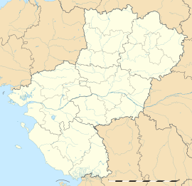 Méral
MéralAdministration Country France Region Pays de la Loire Department Mayenne Arrondissement Château-Gontier Canton Cossé-le-Vivien Mayor Jean-Marc Foucher
(2008–2014)Statistics Elevation 59–102 m (194–335 ft)
(avg. 95 m/312 ft)Land area1 29.5 km2 (11.4 sq mi) Population2 1,042 (2006) - Density 35 /km2 (91 /sq mi) INSEE/Postal code 53151/ 53230 1 French Land Register data, which excludes lakes, ponds, glaciers > 1 km² (0.386 sq mi or 247 acres) and river estuaries. 2 Population without double counting: residents of multiple communes (e.g., students and military personnel) only counted once. Coordinates: 47°57′41″N 0°58′46″W / 47.9613888889°N 0.979444444444°W
Méral is a commune in the Mayenne department in north-western France.
Geography
The Oudon River forms part of the commune's north-eastern border.
See also
- Communes of Mayenne
Categories:- Communes of Mayenne
- Mayenne geography stubs


Wikimedia Foundation. 2010.