- Montflours
-
Montflours

 MontfloursLocation within Pays de la Loire region
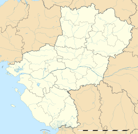 Montflours
Administration Country France Region Pays de la Loire Department Mayenne Arrondissement Laval Canton Argentré Mayor Annick Ragaru
(2008–2014)Statistics Elevation 52–138 m (171–453 ft) Land area1 7.93 km2 (3.06 sq mi) Population2 226 (2006) - Density 28 /km2 (73 /sq mi) INSEE/Postal code 53156/ 53240 1 French Land Register data, which excludes lakes, ponds, glaciers > 1 km² (0.386 sq mi or 247 acres) and river estuaries. 2 Population without double counting: residents of multiple communes (e.g., students and military personnel) only counted once. Coordinates: 48°10′19″N 0°43′56″W / 48.1719444444°N 0.732222222222°W
Montflours is a commune in the Mayenne department in north-western France.
See also
- Communes of Mayenne
Categories:- Communes of Mayenne
- Mayenne geography stubs


Wikimedia Foundation. 2010.